MyTopo
Herreid South Dakota US Topo Map
Couldn't load pickup availability
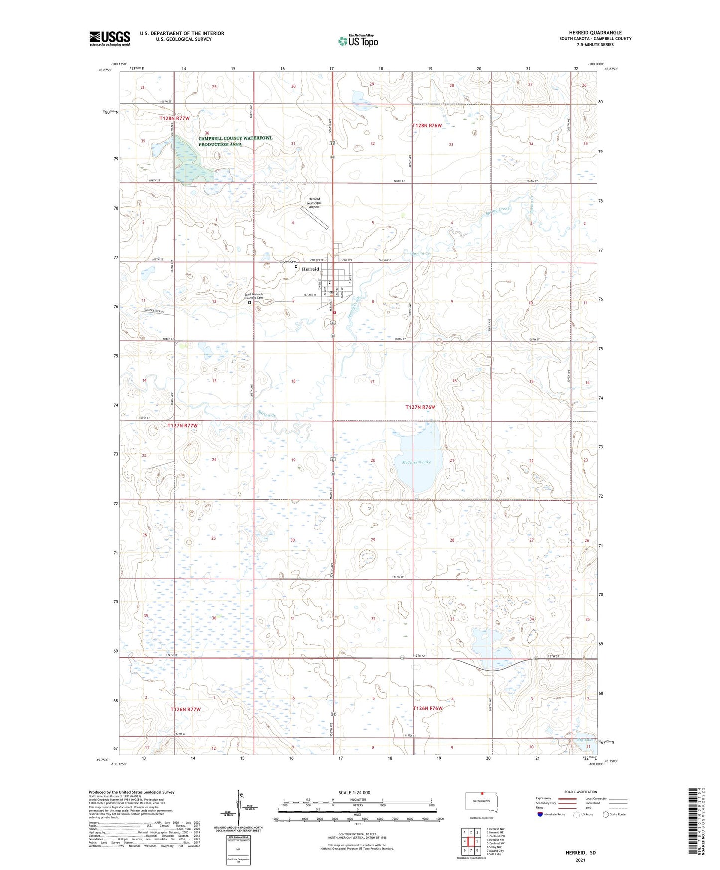
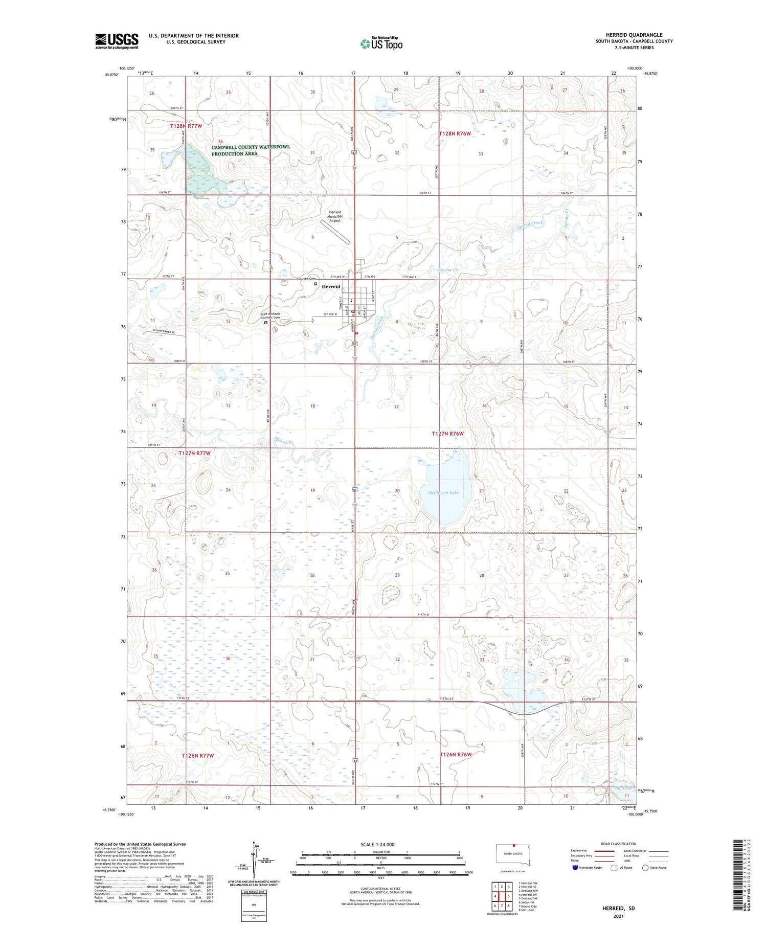
2021 topographic map quadrangle Herreid in the state of South Dakota. Scale: 1:24000. Based on the newly updated USGS 7.5' US Topo map series, this map is in the following counties: Campbell. The map contains contour data, water features, and other items you are used to seeing on USGS maps, but also has updated roads and other features. This is the next generation of topographic maps. Printed on high-quality waterproof paper with UV fade-resistant inks.
Quads adjacent to this one:
West: Herreid SW
Northwest: Herreid NW
North: Herreid NE
Northeast: Zeeland NW
East: Zeeland SW
Southeast: Salt Lake
South: Mound City
Southwest: Selby NW
Contains the following named places: Campbell County, Campbell County Ambulance Service, City of Herreid, Fairview Cemetery, German Catholic Church, Herreid, Herreid City Hall, Herreid City Library, Herreid Elementary School, Herreid High School, Herreid Middle School, Herreid Municipal Airport, Herreid Post Office, Herreid Volunteer Fire Department, Lake Side School, McClarem Lake, Saint Michaels Catholic Cemetery, Township of Herreid, Township of McKinley, Unorganized Territory of North Campbell, ZIP Code: 57632