MyTopo
Hidden Timber South Dakota US Topo Map
Couldn't load pickup availability
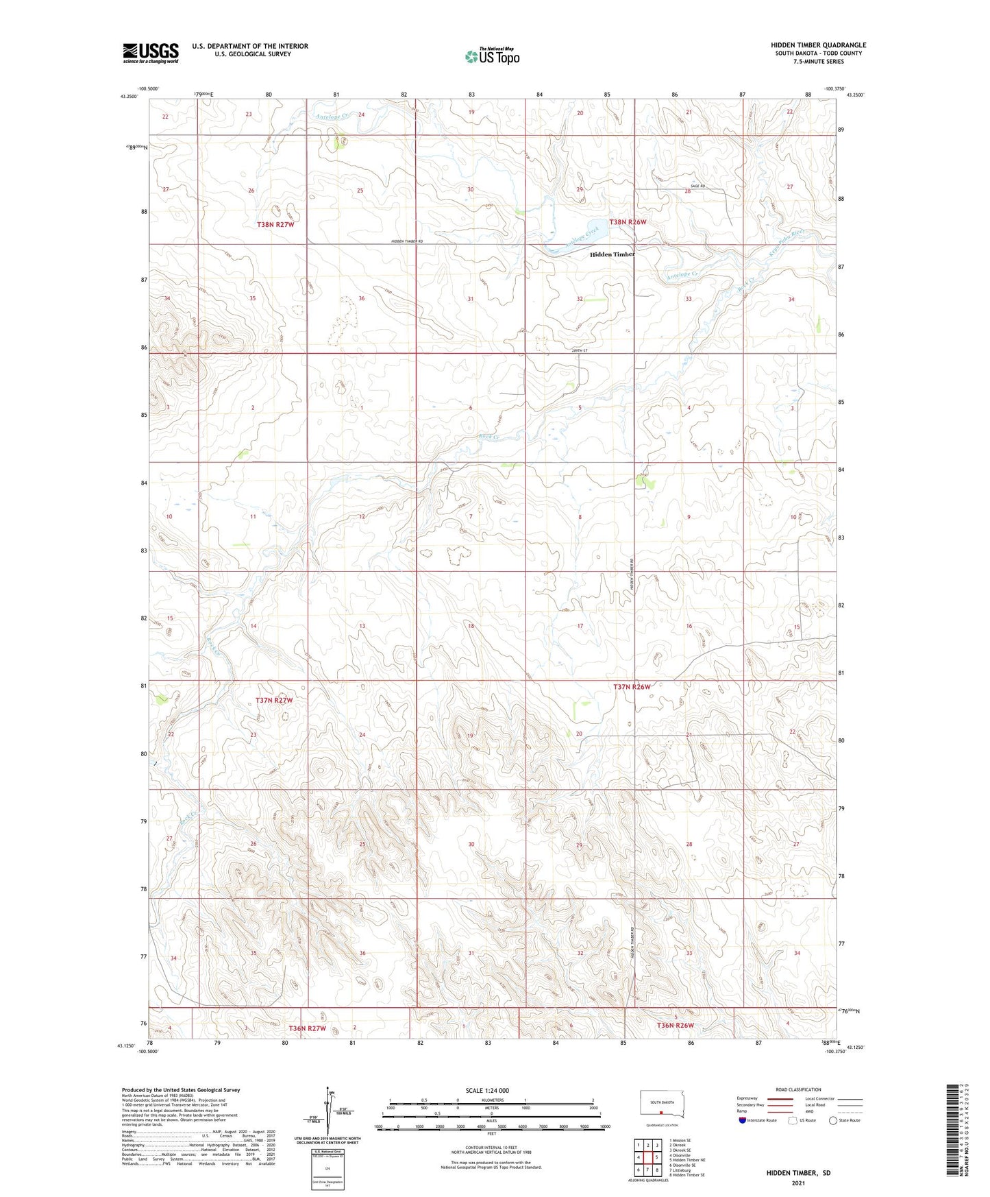
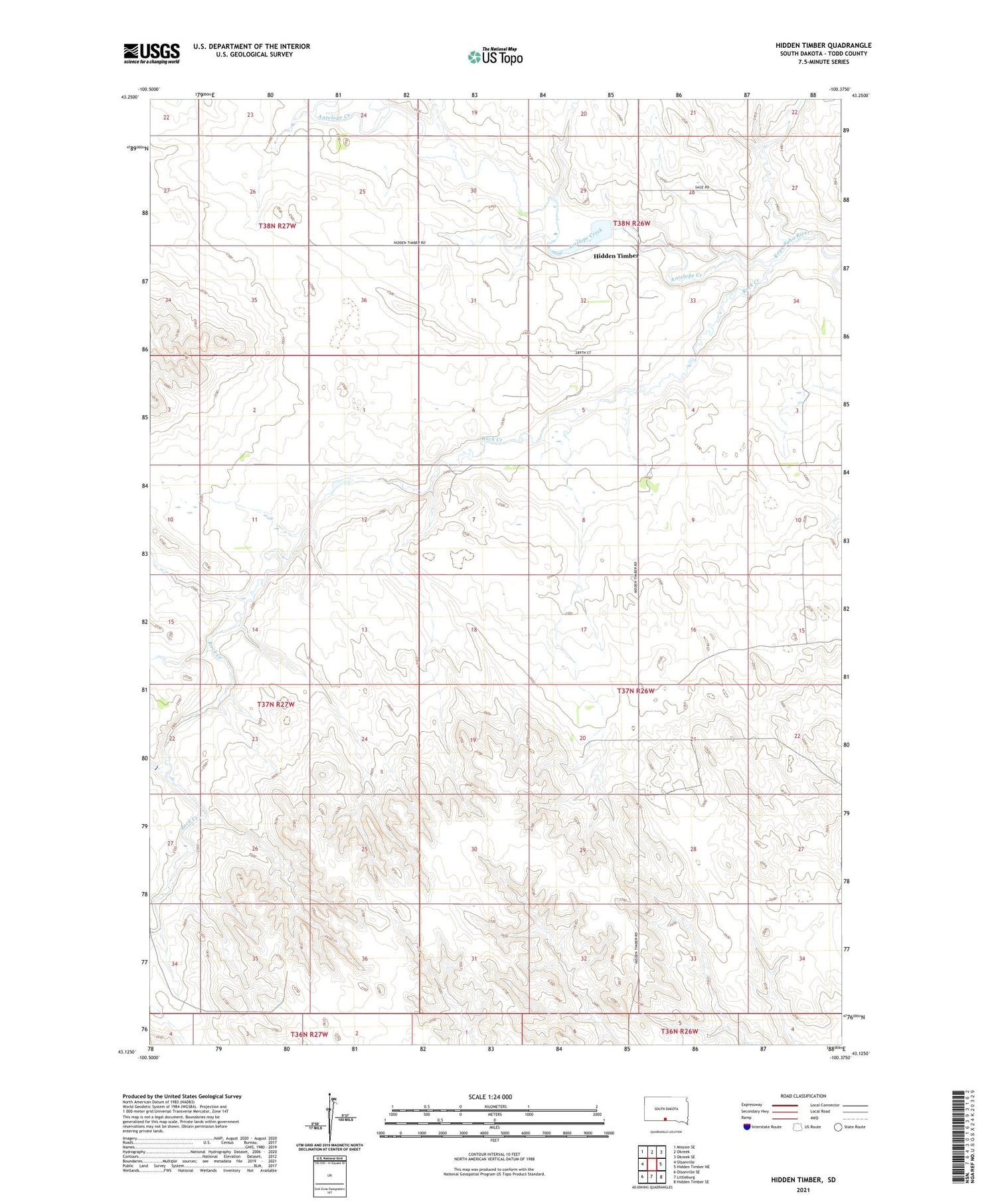
2021 topographic map quadrangle Hidden Timber in the state of South Dakota. Scale: 1:24000. Based on the newly updated USGS 7.5' US Topo map series, this map is in the following counties: Todd. The map contains contour data, water features, and other items you are used to seeing on USGS maps, but also has updated roads and other features. This is the next generation of topographic maps. Printed on high-quality waterproof paper with UV fade-resistant inks.
Quads adjacent to this one:
West: Olsonville
Northwest: Mission SE
North: Okreek
Northeast: Okreek SE
East: Hidden Timber NE
Southeast: Hidden Timber SE
South: Littleburg
Southwest: Olsonville SE
Contains the following named places: Antelope Creek, Hidden Timber, Hidden Timber Dam, Klein Elementary School, Lone Tree Creek, Rock Creek, Unorganized Territory of East Todd