MyTopo
Kampeska South Dakota US Topo Map
Couldn't load pickup availability
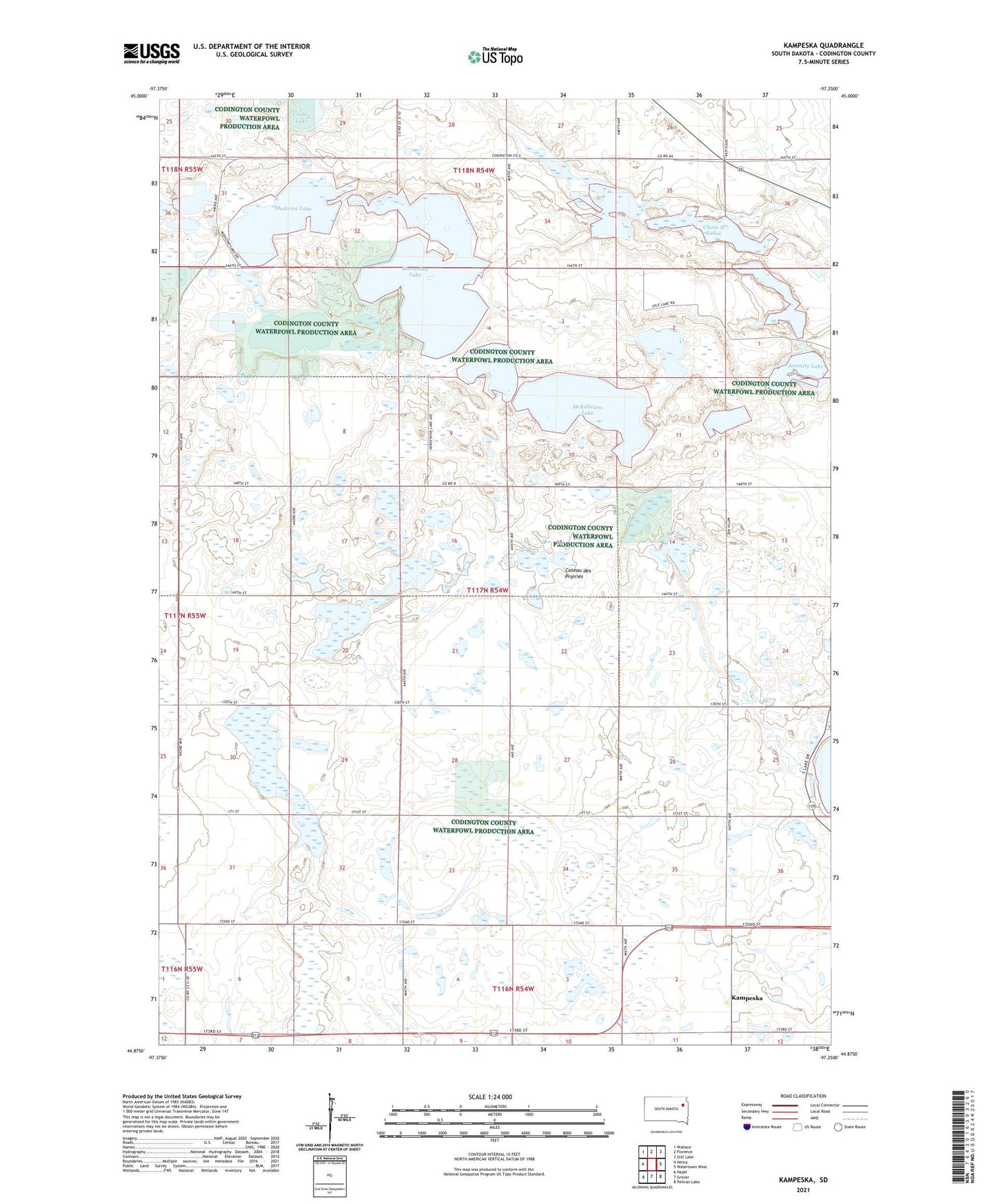
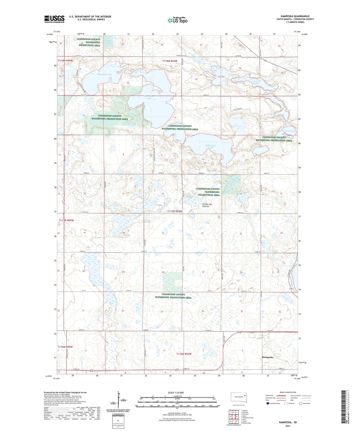
2021 topographic map quadrangle Kampeska in the state of South Dakota. Scale: 1:24000. Based on the newly updated USGS 7.5' US Topo map series, this map is in the following counties: Codington. The map contains contour data, water features, and other items you are used to seeing on USGS maps, but also has updated roads and other features. This is the next generation of topographic maps. Printed on high-quality waterproof paper with UV fade-resistant inks.
Quads adjacent to this one:
West: Henry
Northwest: Wallace
North: Florence
Northeast: Still Lake
East: Watertown West
Southeast: Pelican Lake
South: Grover
Southwest: Hazel
Contains the following named places: Chain of Lakes, Christopherson State Public Shooting Area, Clarksean State Public Shooting Area, Hanten State Public Shooting Area, Horseshoe Lake, Horseshoe Lake State Public Shooting Area, Kampeska, Kampeska Census Designated Place, Lynwood State Public Access Area, McKillicans Lake, McKillicans Lake State Public Shooting Area, Medicine Lake, Serenity Lake, Spencer State Public Shooting Area, Township of Richland