MyTopo
Little Eagle SW South Dakota US Topo Map
Couldn't load pickup availability
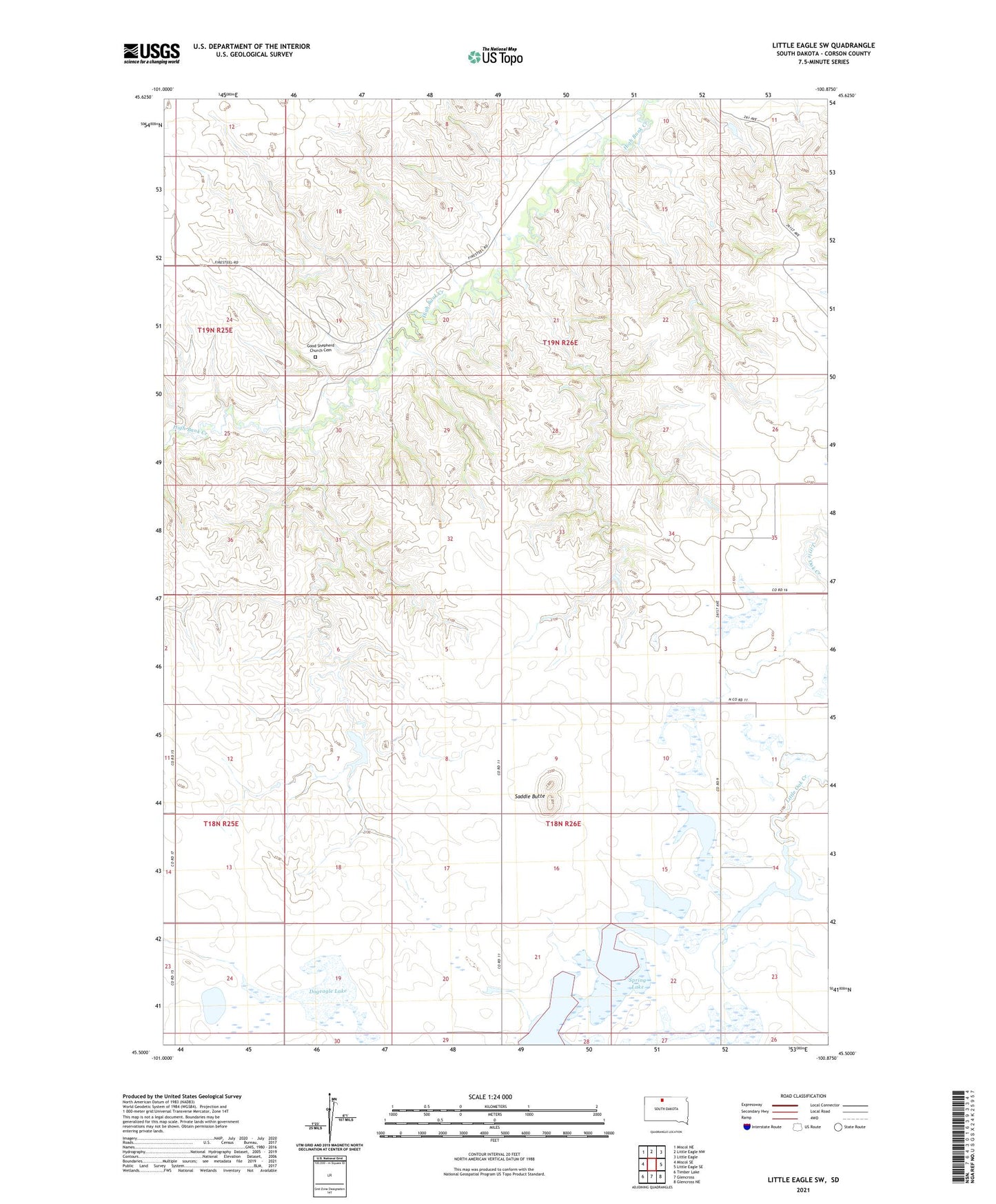
2021 topographic map quadrangle Little Eagle SW in the state of South Dakota. Scale: 1:24000. Based on the newly updated USGS 7.5' US Topo map series, this map is in the following counties: Corson. The map contains contour data, water features, and other items you are used to seeing on USGS maps, but also has updated roads and other features. This is the next generation of topographic maps. Printed on high-quality waterproof paper with UV fade-resistant inks.
Quads adjacent to this one:
West: Miscol SE
Northwest: Miscol NE
North: Little Eagle NW
Northeast: Little Eagle
East: Little Eagle SE
Southeast: Glencross NE
South: Glencross
Southwest: Timber Lake
Contains the following named places: Dogeagle Lake, Gerald Martian Dam, Good Shepherd Church, Good Shepherd Church Cemetery, Little Eagle District, Meyer School, Saddle Butte, Spring Lake, Spring Lake School, Standing Rock Tribe Dam