MyTopo
Little Eagle South Dakota US Topo Map
Couldn't load pickup availability
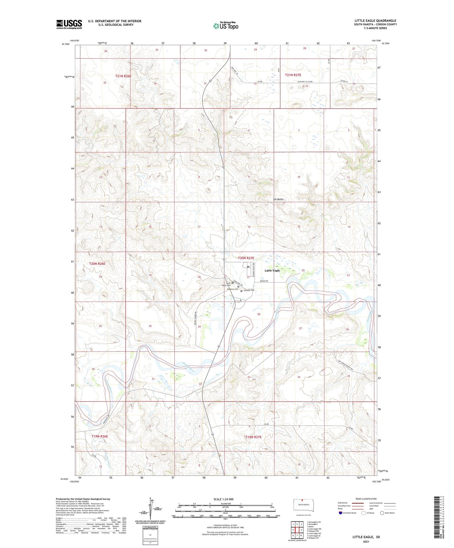
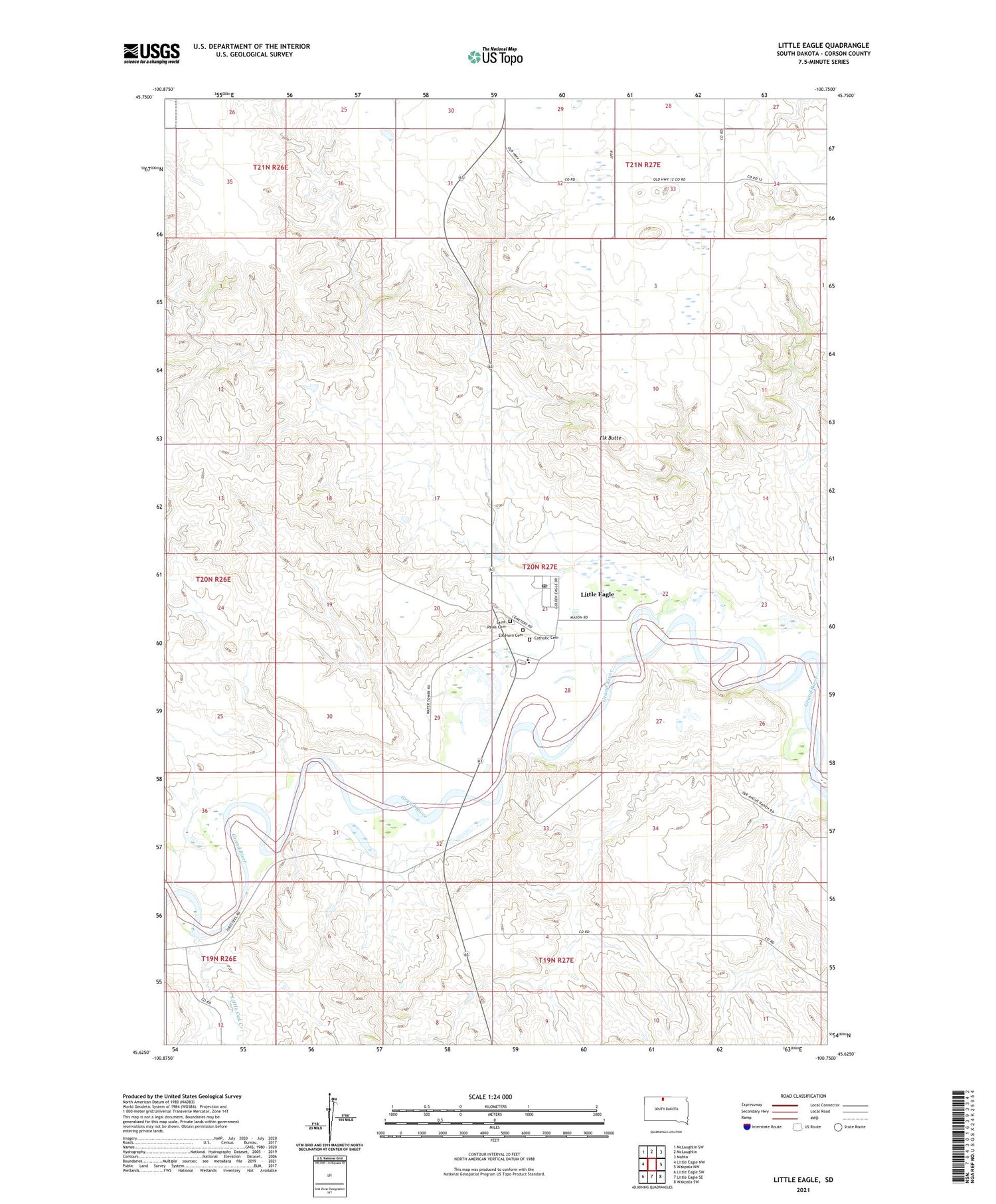
2021 topographic map quadrangle Little Eagle in the state of South Dakota. Scale: 1:24000. Based on the newly updated USGS 7.5' US Topo map series, this map is in the following counties: Corson. The map contains contour data, water features, and other items you are used to seeing on USGS maps, but also has updated roads and other features. This is the next generation of topographic maps. Printed on high-quality waterproof paper with UV fade-resistant inks.
Quads adjacent to this one:
West: Little Eagle NW
Northwest: McLaughlin SW
North: McLaughlin
Northeast: Mahto
East: Wakpala NW
Southeast: Wakpala SW
South: Little Eagle SE
Southwest: Little Eagle SW
Contains the following named places: Catholic Cemetery, Elk Butte, Elk Horn Cemetery, Little Eagle, Little Eagle Census Designated Place, Little Eagle Post Office, Little Oak Creek, Saint Pauls Cemetery, Saint Pauls Church, Sitting Bull School, Unorganized Territory of East Corson, ZIP Code: 57639