
MyTopo
Lone Tree Creek South Dakota US Topo Map
Couldn't load pickup availability
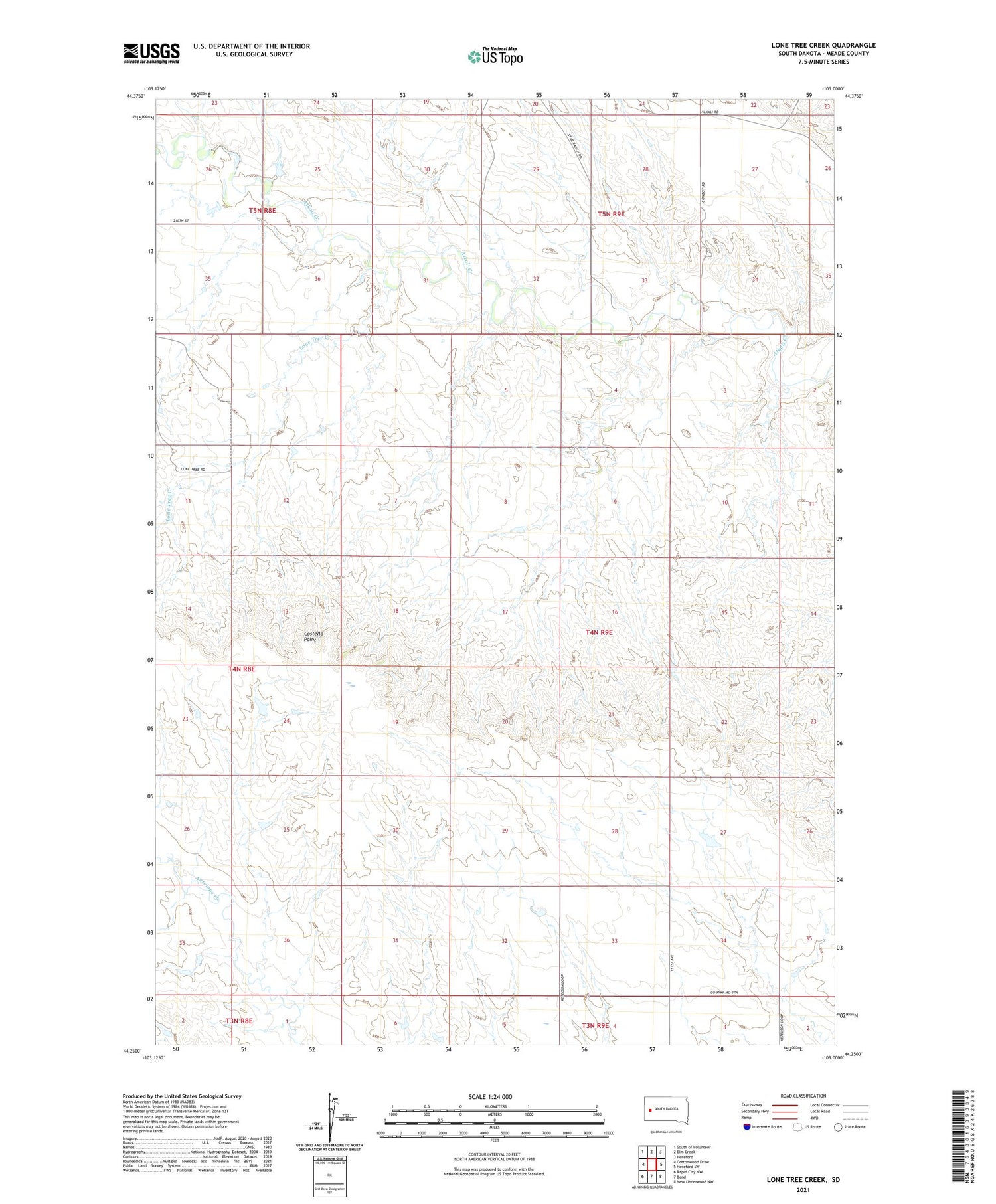
2021 topographic map quadrangle Lone Tree Creek in the state of South Dakota. Scale: 1:24000. Based on the newly updated USGS 7.5' US Topo map series, this map is in the following counties: Meade. The map contains contour data, water features, and other items you are used to seeing on USGS maps, but also has updated roads and other features. This is the next generation of topographic maps. Printed on high-quality waterproof paper with UV fade-resistant inks.
Quads adjacent to this one:
West: Cottonwood Draw
Northwest: South of Volunteer
North: Elm Creek
Northeast: Hereford
East: Hereford SW
Southeast: New Underwood NW
South: Bend
Southwest: Rapid City NW
Contains the following named places: Bend, Costello Point, Lone Tree Creek, Marvin Reinhold Dam Number 1, Morse Creek School, Prairie View School


