MyTopo
McLaughlin South Dakota US Topo Map
Couldn't load pickup availability
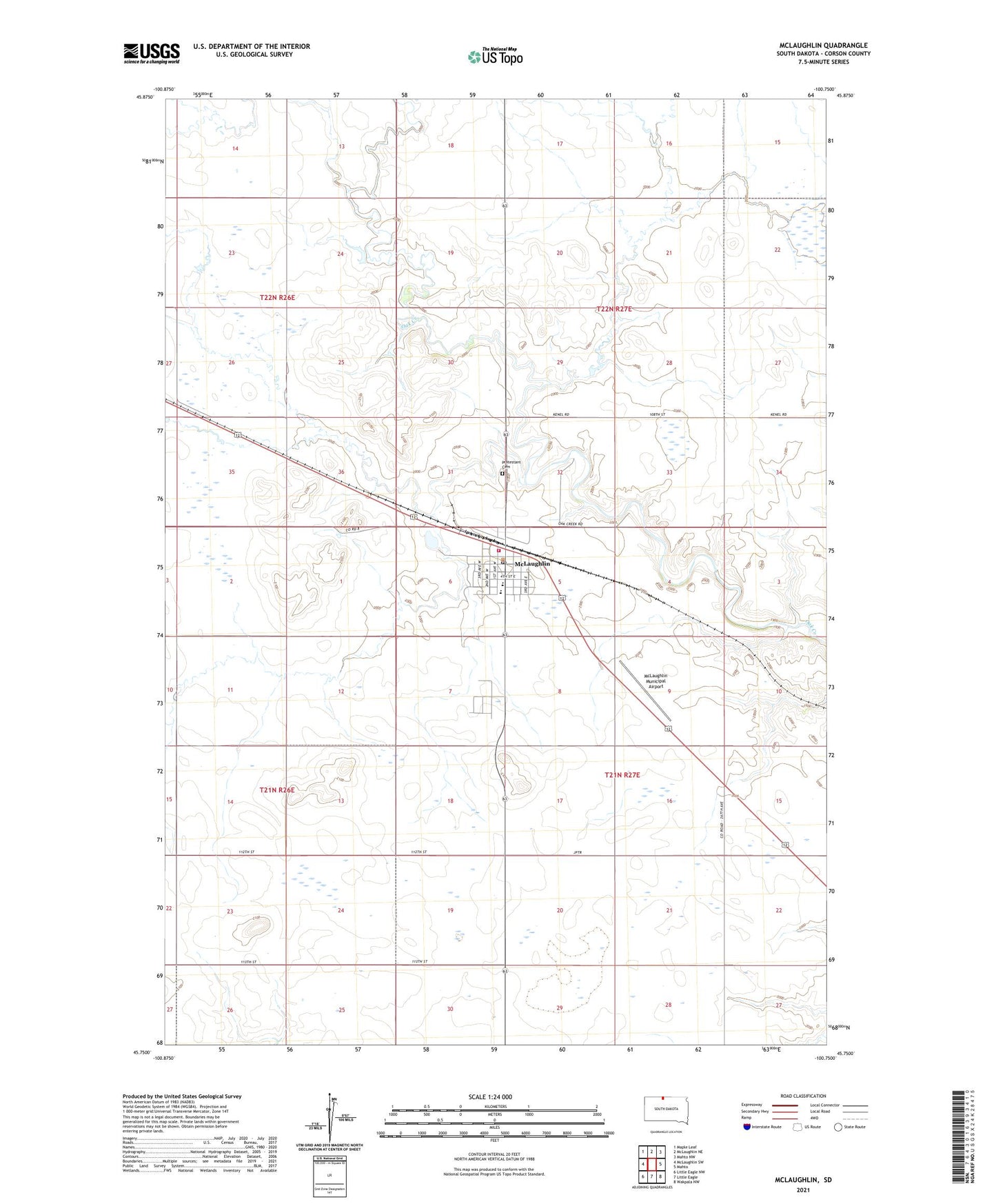
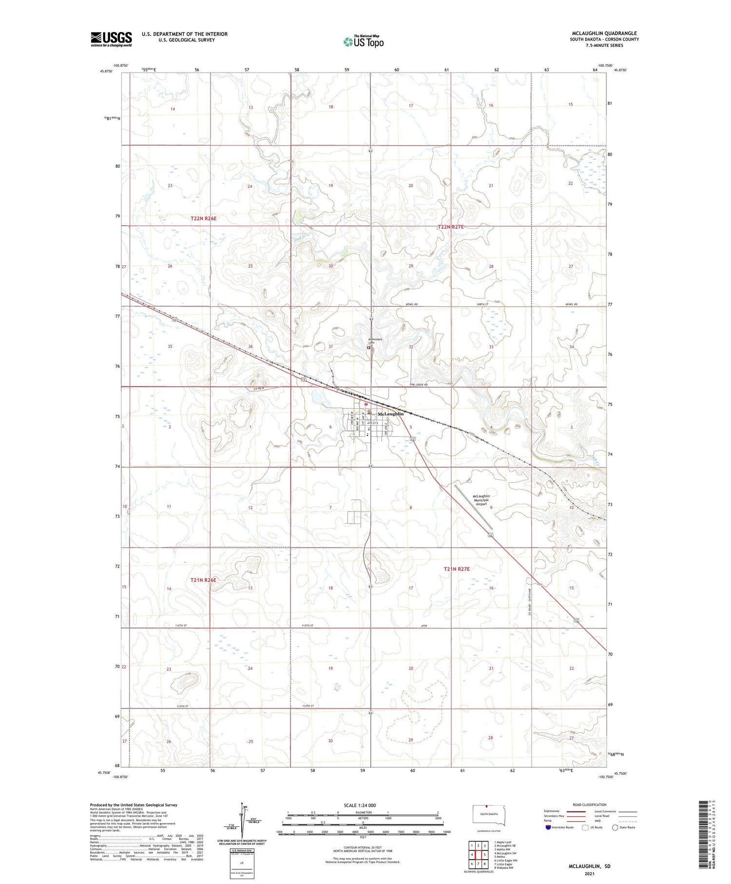
2021 topographic map quadrangle McLaughlin in the state of South Dakota. Scale: 1:24000. Based on the newly updated USGS 7.5' US Topo map series, this map is in the following counties: Corson. The map contains contour data, water features, and other items you are used to seeing on USGS maps, but also has updated roads and other features. This is the next generation of topographic maps. Printed on high-quality waterproof paper with UV fade-resistant inks.
Quads adjacent to this one:
West: McLaughlin SW
Northwest: Maple Leaf
North: McLaughlin NE
Northeast: Mahto NW
East: Mahto
Southeast: Wakpala NW
South: Little Eagle
Southwest: Little Eagle NW
Contains the following named places: Bear Soldier District, City of McLaughlin, Major James McLaughlin Heritage Center, McLaughlin, McLaughlin Ambulance, McLaughlin City Hall, McLaughlin Elementary School, McLaughlin Fire Department, McLaughlin High School, McLaughlin Indian Health Center, McLaughlin Middle School, McLaughlin Municipal Airport, McLaughlin Police Department, McLaughlin Post Office, McLaughlin Public Library, Protestant Cemetery