MyTopo
Moenville South Dakota US Topo Map
Couldn't load pickup availability
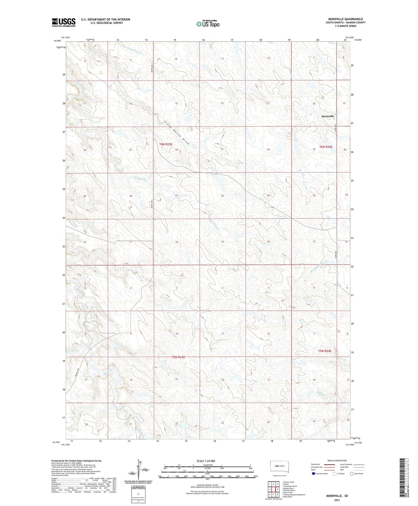
2021 topographic map quadrangle Moenville in the state of South Dakota. Scale: 1:24000. Based on the newly updated USGS 7.5' US Topo map series, this map is in the following counties: Haakon. The map contains contour data, water features, and other items you are used to seeing on USGS maps, but also has updated roads and other features. This is the next generation of topographic maps. Printed on high-quality waterproof paper with UV fade-resistant inks.
Quads adjacent to this one:
West: Middle Draw
Northwest: Cherry Creek
North: Kirley
Northeast: Whiteman Ranch
East: Bentley Ranch
Southeast: May Ranch
South: Hilltop Diamond Ring Ranch
Southwest: Mule Creek
Contains the following named places: Deer Creek, Doud Ranch, Foland Ranch, Moenville, Schofield Ranch, Township of Hanover