
MyTopo
No Heart Creek SE South Dakota US Topo Map
Couldn't load pickup availability
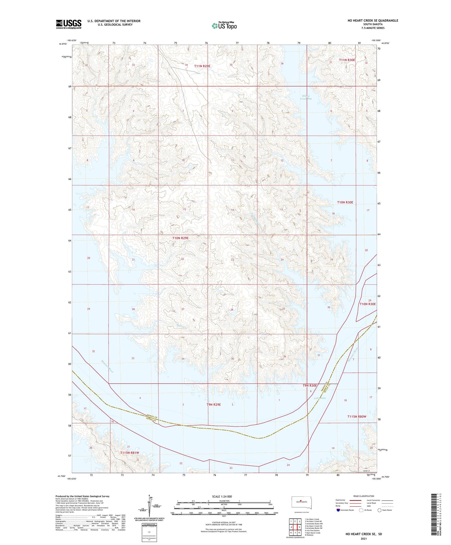
2021 topographic map quadrangle No Heart Creek SE in the state of South Dakota. Scale: 1:24000. Based on the newly updated USGS 7.5' US Topo map series, this map is in the following counties: Dewey, Sully. The map contains contour data, water features, and other items you are used to seeing on USGS maps, but also has updated roads and other features. This is the next generation of topographic maps. Printed on high-quality waterproof paper with UV fade-resistant inks.
Quads adjacent to this one:
West: No Heart Creek SW
Northwest: No Heart Creek
North: No Heart Creek NE
Northeast: Artichoke Butte NW
East: Artichoke Butte SW
Southeast: Okobojo
South: Mail Shack Creek
Southwest: Iron Post Buttes
Contains the following named places: Devils Island, Fairbank Post Office, Fairbanks Creek, Splits Creek, Valle Trading Post, Willow Creek Bay


