MyTopo
Parmelee NE South Dakota US Topo Map
Couldn't load pickup availability
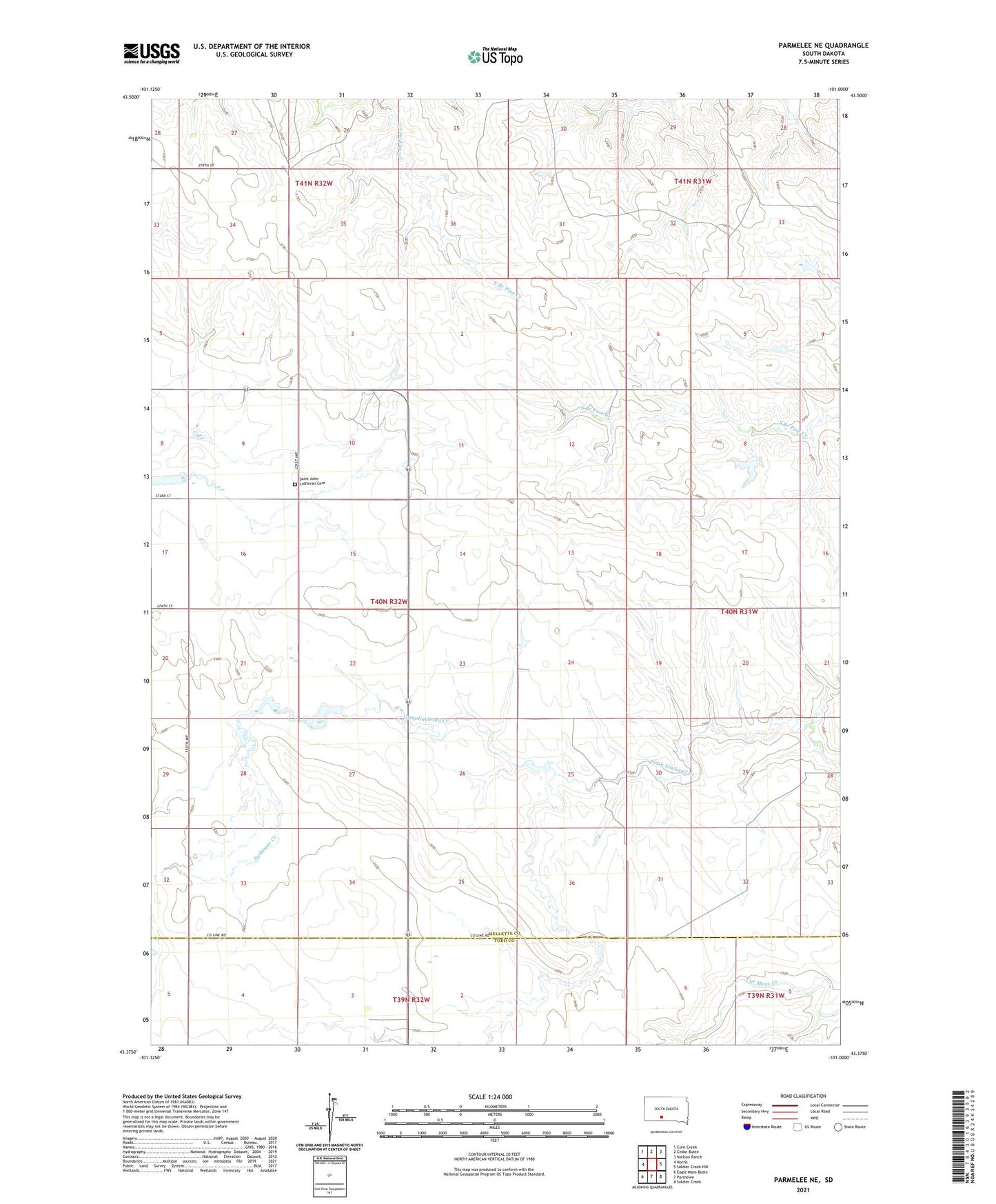
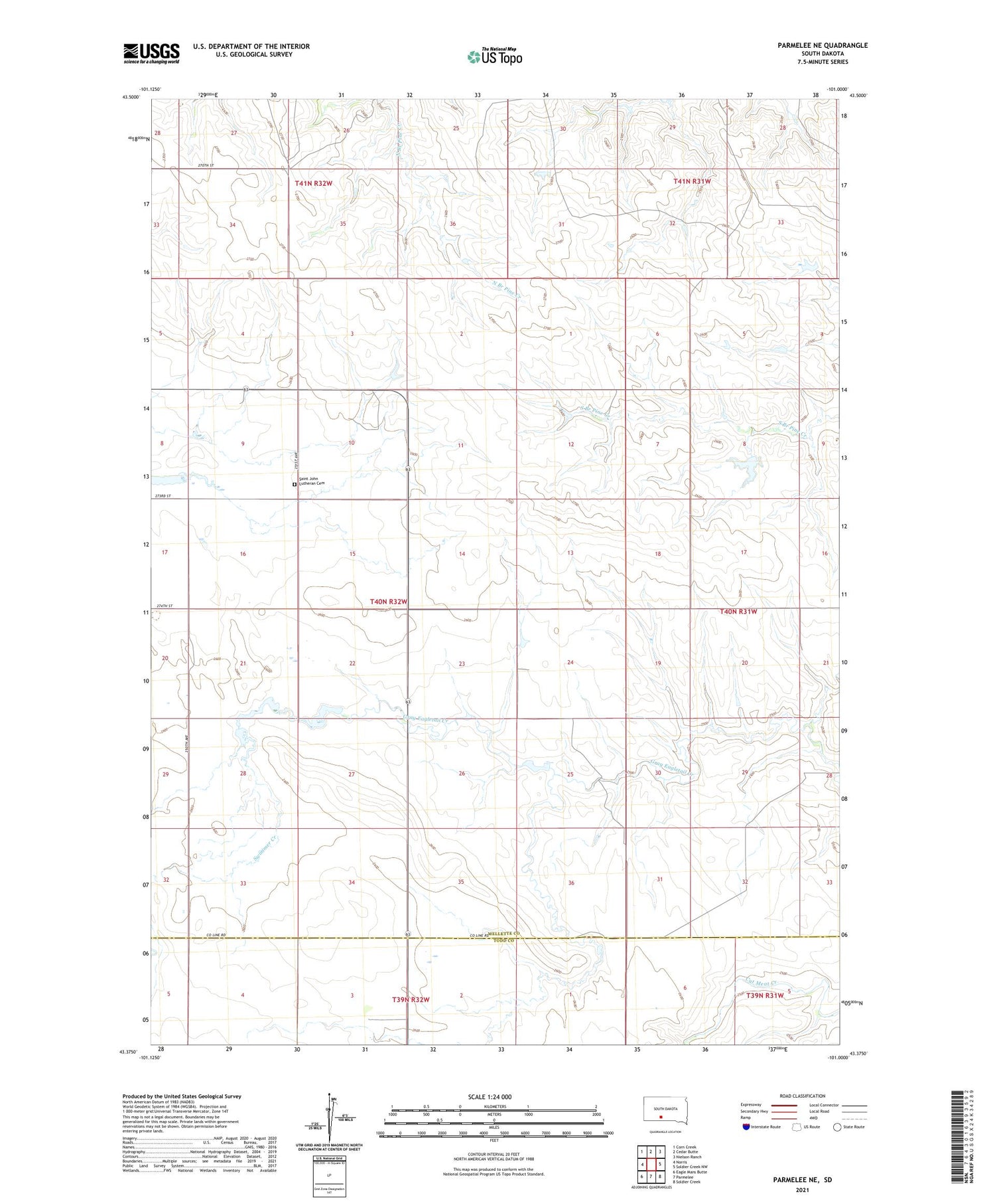
2021 topographic map quadrangle Parmelee NE in the state of South Dakota. Scale: 1:24000. Based on the newly updated USGS 7.5' US Topo map series, this map is in the following counties: Mellette, Todd. The map contains contour data, water features, and other items you are used to seeing on USGS maps, but also has updated roads and other features. This is the next generation of topographic maps. Printed on high-quality waterproof paper with UV fade-resistant inks.
Quads adjacent to this one:
West: Norris
Northwest: Corn Creek
North: Cedar Butte
Northeast: Nielson Ranch
East: Soldier Creek NW
Southeast: Soldier Creek
South: Parmelee
Southwest: Eagle Mans Butte
Contains the following named places: Banek Number 1 Dam, Junior Schmidt Number 1 Dam, Kary, Kary Number 1 Dam, Kary Number 2 Dam, Saint John Lutheran Cemetery, Saint Johns Church, Schmidt Number 2 Dam, Swimmer Creek, Township of Blackpipe