MyTopo
Prairie City South Dakota US Topo Map
Couldn't load pickup availability
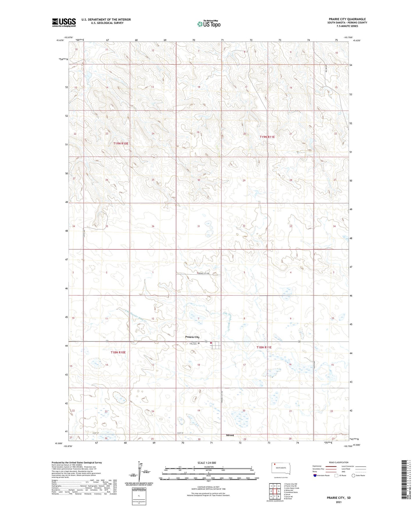
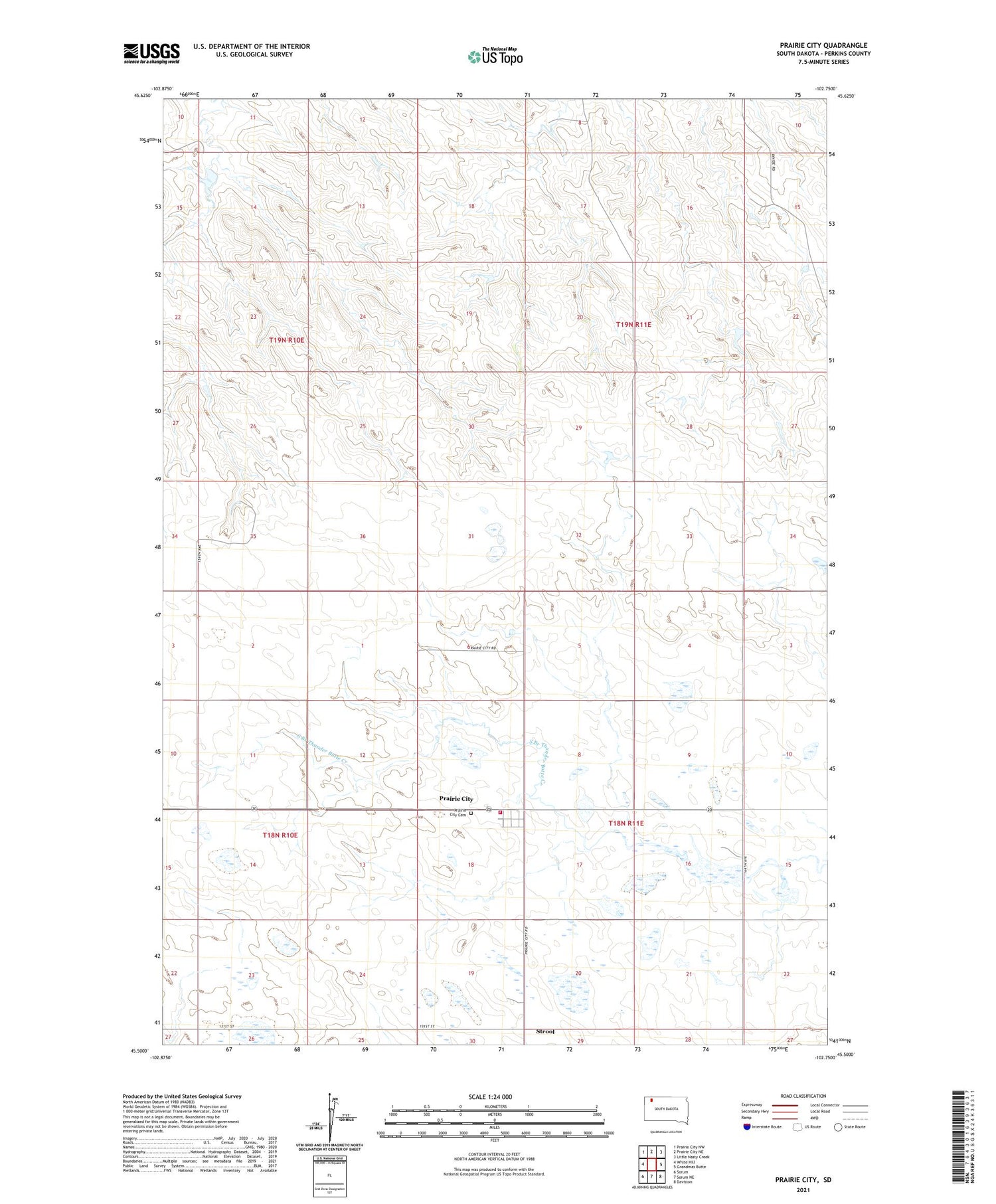
2021 topographic map quadrangle Prairie City in the state of South Dakota. Scale: 1:24000. Based on the newly updated USGS 7.5' US Topo map series, this map is in the following counties: Perkins. The map contains contour data, water features, and other items you are used to seeing on USGS maps, but also has updated roads and other features. This is the next generation of topographic maps. Printed on high-quality waterproof paper with UV fade-resistant inks.
Quads adjacent to this one:
West: White Hill
Northwest: Prairie City NW
North: Prairie City NE
Northeast: Little Nasty Creek
East: Grandmas Butte
Southeast: Daviston
South: Sorum NE
Southwest: Sorum
Contains the following named places: Carr Landing Field, Haney Landing Strip, Prairie City, Prairie City Cemetery, Prairie City Census Designated Place, Prairie City Fire Department, Simpson Brothers Dam, Strool, Strool School, Township of Strool, Township of Vail, Vail School, ZIP Code: 57649