MyTopo
Ralph SW South Dakota US Topo Map
Couldn't load pickup availability
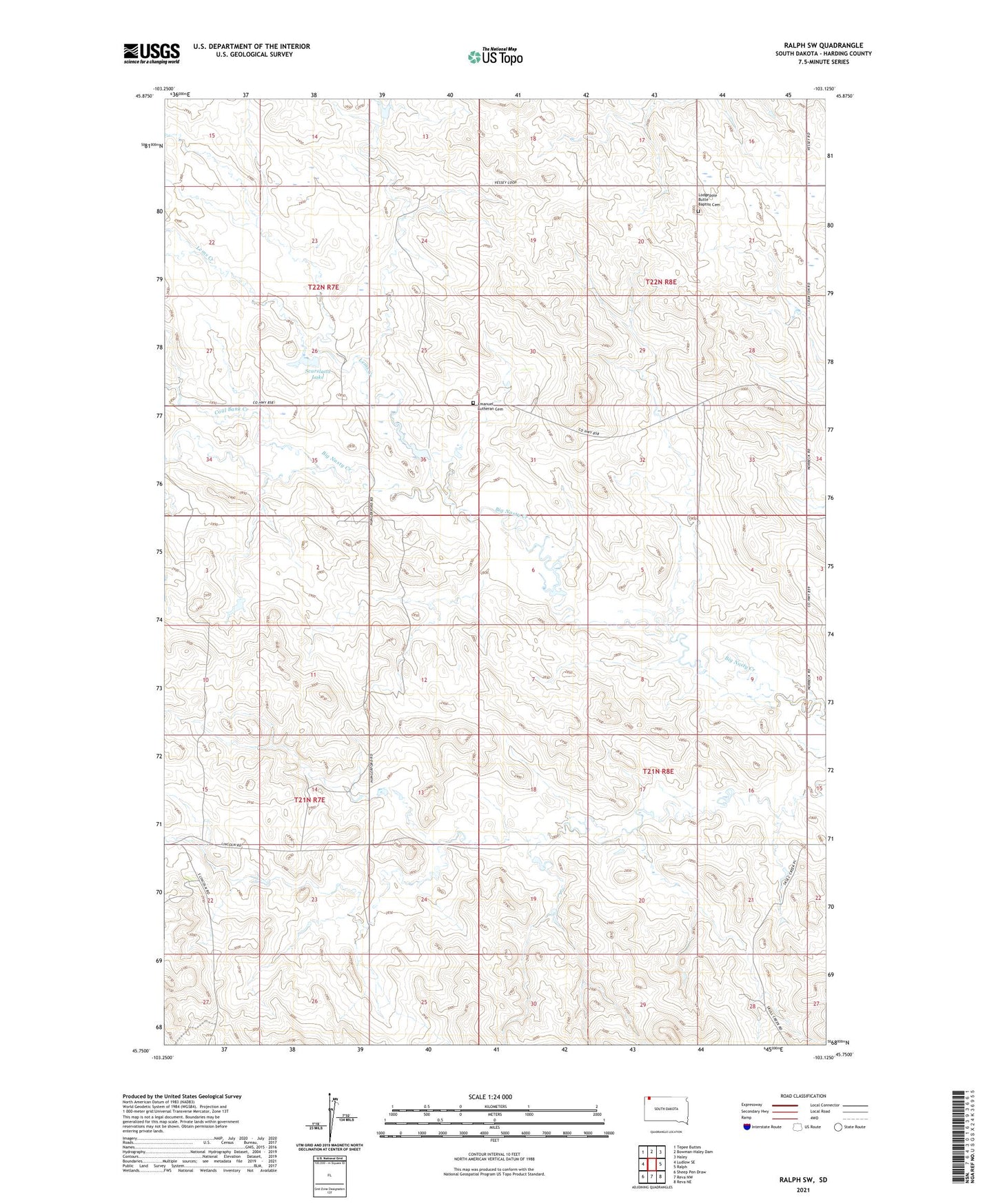
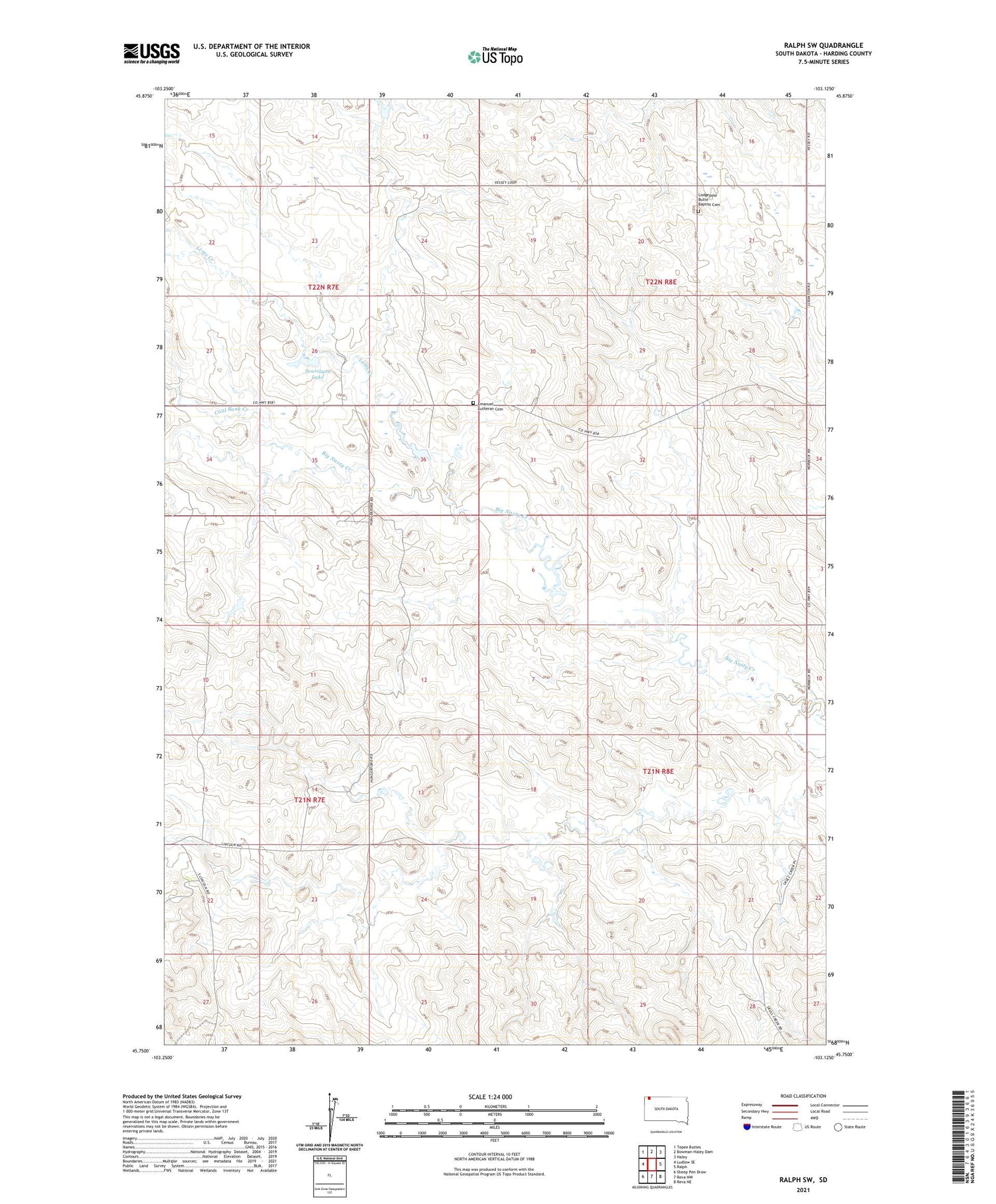
2021 topographic map quadrangle Ralph SW in the state of South Dakota. Scale: 1:24000. Based on the newly updated USGS 7.5' US Topo map series, this map is in the following counties: Harding. The map contains contour data, water features, and other items you are used to seeing on USGS maps, but also has updated roads and other features. This is the next generation of topographic maps. Printed on high-quality waterproof paper with UV fade-resistant inks.
Quads adjacent to this one:
West: Ludlow SE
Northwest: Tepee Buttes
East: Ralph
Southeast: Reva NE
South: Reva NW
Southwest: Sheep Pen Draw
Contains the following named places: Coal Bank Creek, Duck Dam, Emanuel Lutheran Cemetery, Immanuel Church, Lems Creek, Lincoln School, Lodgepole Butte Baptist Cemetery, Norbeck School, Scarsland Lake, Smith Dam, Smith Spreader Dam