MyTopo
Rattlesnake Lake SW South Dakota US Topo Map
Couldn't load pickup availability
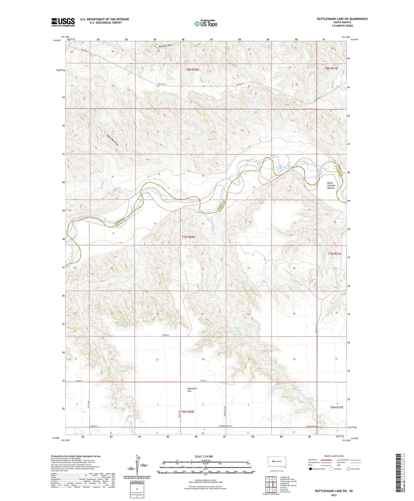
2021 topographic map quadrangle Rattlesnake Lake SW in the state of South Dakota. Scale: 1:24000. Based on the newly updated USGS 7.5' US Topo map series, this map is in the following counties: Haakon, Ziebach. The map contains contour data, water features, and other items you are used to seeing on USGS maps, but also has updated roads and other features. This is the next generation of topographic maps. Printed on high-quality waterproof paper with UV fade-resistant inks.
Quads adjacent to this one:
West: Bridger SE
Northwest: Bridger NE
North: Rattlesnake Lake
Northeast: Rattlesnake Lake NE
East: Rattlesnake Lake SE
Southeast: Murray Draw
South: Milesville
Southwest: Hartley
Contains the following named places: Black Bull Draw, Bull Creek, Elshers School, Harding Creek, Harding Grove School, Hardingrove, Milesville Elementary School, Red Bull Dam, Straighthead Creek