MyTopo
Red Elm South Dakota US Topo Map
Couldn't load pickup availability
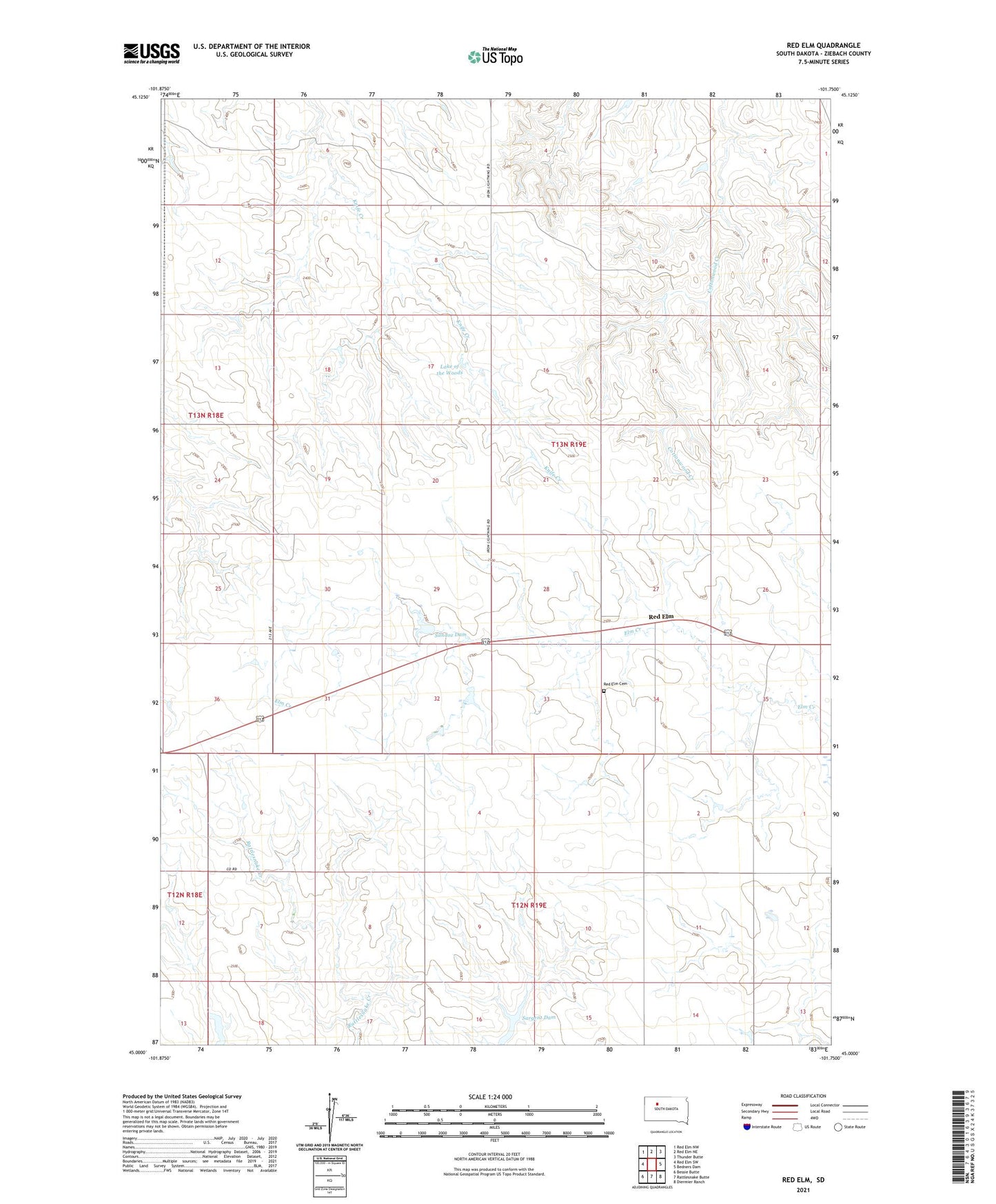
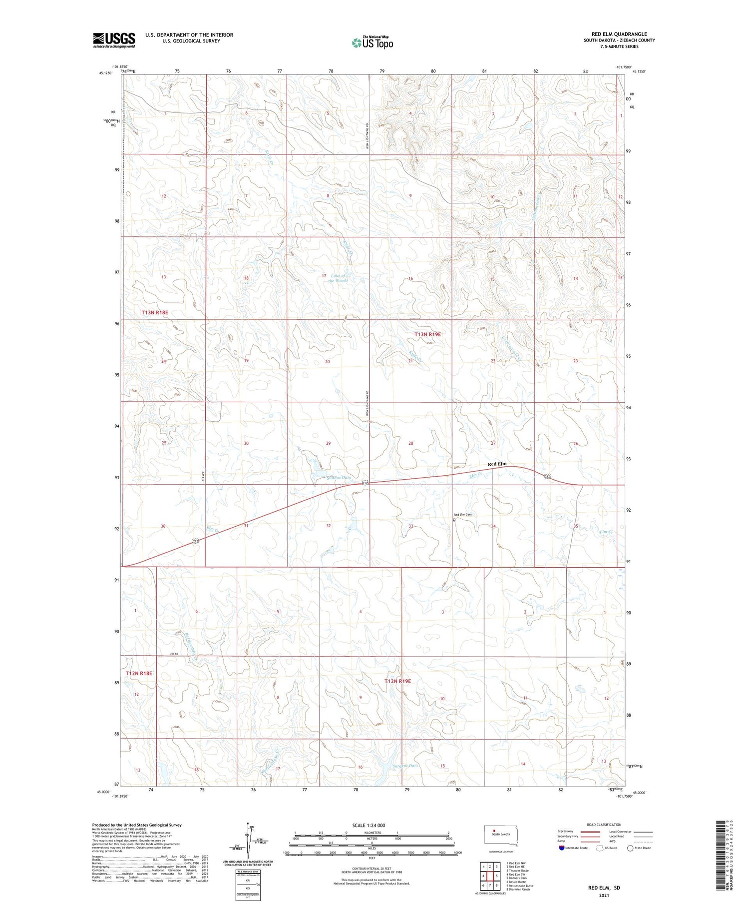
2021 topographic map quadrangle Red Elm in the state of South Dakota. Scale: 1:24000. Based on the newly updated USGS 7.5' US Topo map series, this map is in the following counties: Ziebach. The map contains contour data, water features, and other items you are used to seeing on USGS maps, but also has updated roads and other features. This is the next generation of topographic maps. Printed on high-quality waterproof paper with UV fade-resistant inks.
Quads adjacent to this one:
West: Red Elm SW
Northwest: Red Elm NW
North: Red Elm NE
Northeast: Thunder Butte
East: Bedners Dam
Southeast: Diermier Ranch
South: Rattlesnake Butte
Southwest: Bessie Butte
Contains the following named places: Lake of the Woods, Mandernach and Carlson Number 1 Dam, Red Elm, Red Elm Cemetery, Sandoz Dam, Sargent Dam, Township of Redelm