MyTopo
Red Scaffold South Dakota US Topo Map
Couldn't load pickup availability
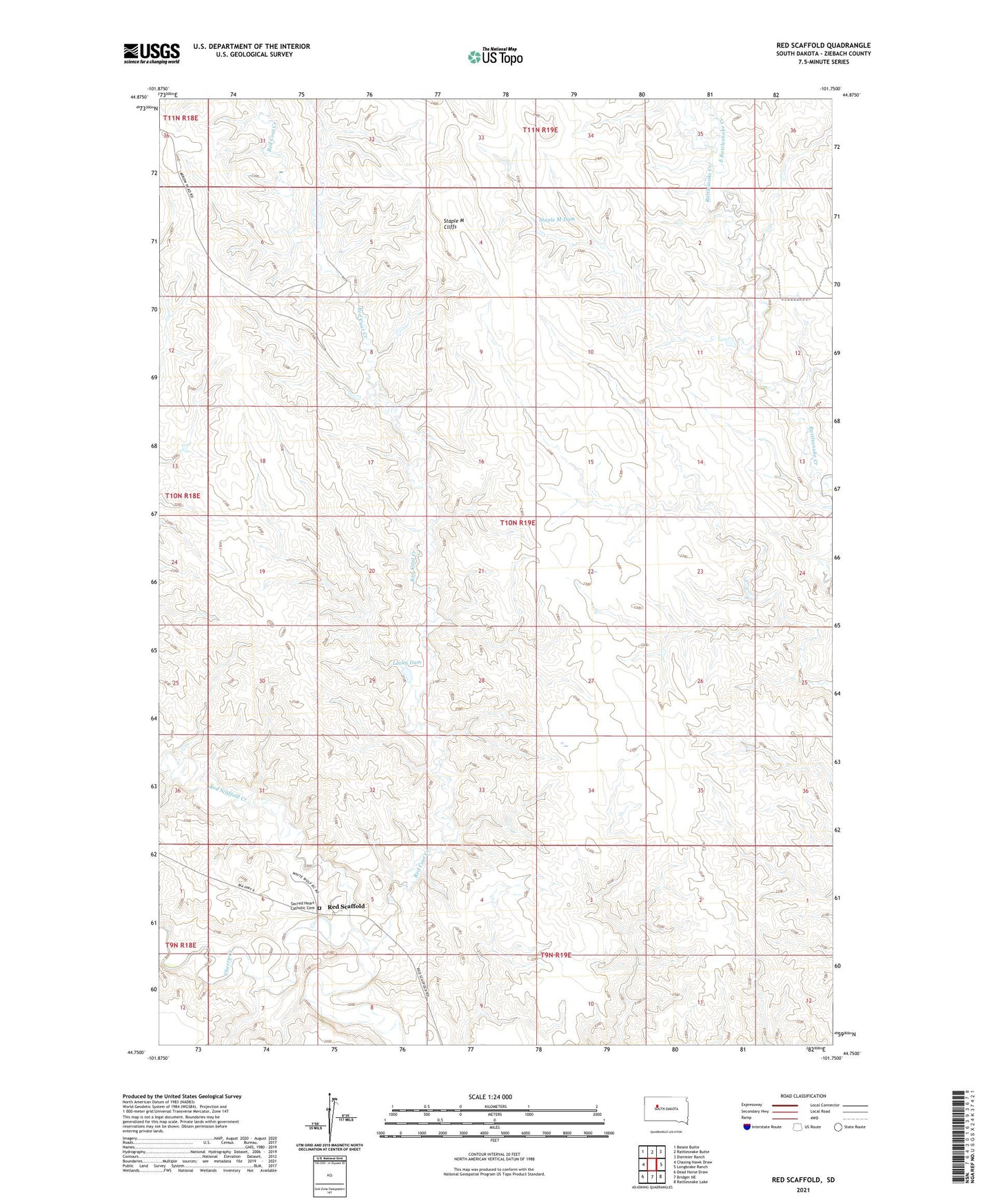
2021 topographic map quadrangle Red Scaffold in the state of South Dakota. Scale: 1:24000. Based on the newly updated USGS 7.5' US Topo map series, this map is in the following counties: Ziebach. The map contains contour data, water features, and other items you are used to seeing on USGS maps, but also has updated roads and other features. This is the next generation of topographic maps. Printed on high-quality waterproof paper with UV fade-resistant inks.
Quads adjacent to this one:
West: Chasing Hawk Draw
Northwest: Bessie Butte
North: Rattlesnake Butte
Northeast: Diermier Ranch
East: Longbrake Ranch
Southeast: Rattlesnake Lake
South: Bridger NE
Southwest: Dead Horse Draw
Contains the following named places: Budahl Dam, Budahl Ranch, East Rattlesnake Creek, Jack Freeman Dam, Lacky Dam, Red Coat Creek, Red Coat Ranch, Red Scaffold, Red Scaffold Creek, Sacred Heart Catholic Cemetery, Staple M Cliffs, Staple M Dam, T Trent Number 1 Dam, Tribe Number 1 Dam, White Swan School