MyTopo
Redfield SW South Dakota US Topo Map
Couldn't load pickup availability
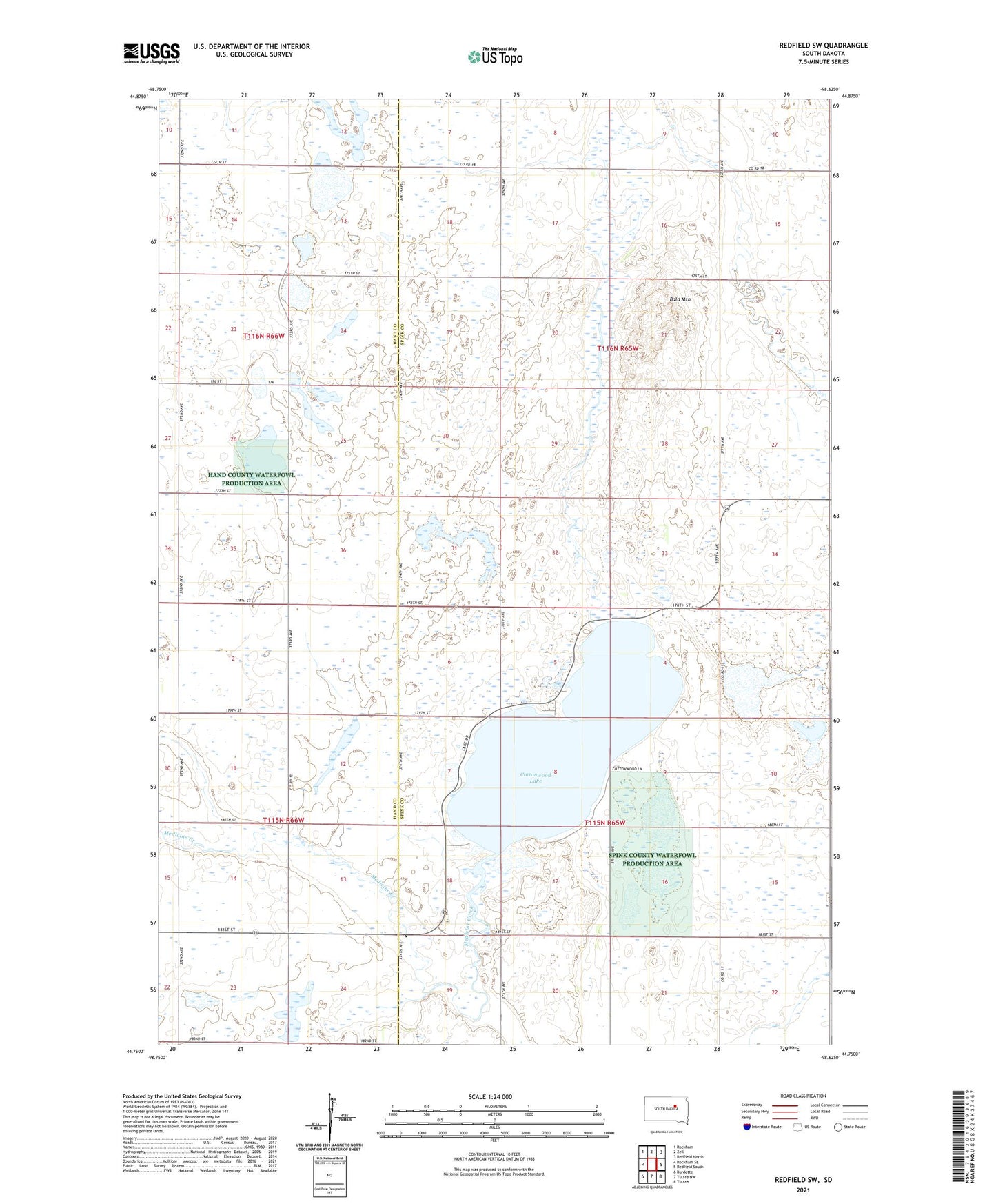
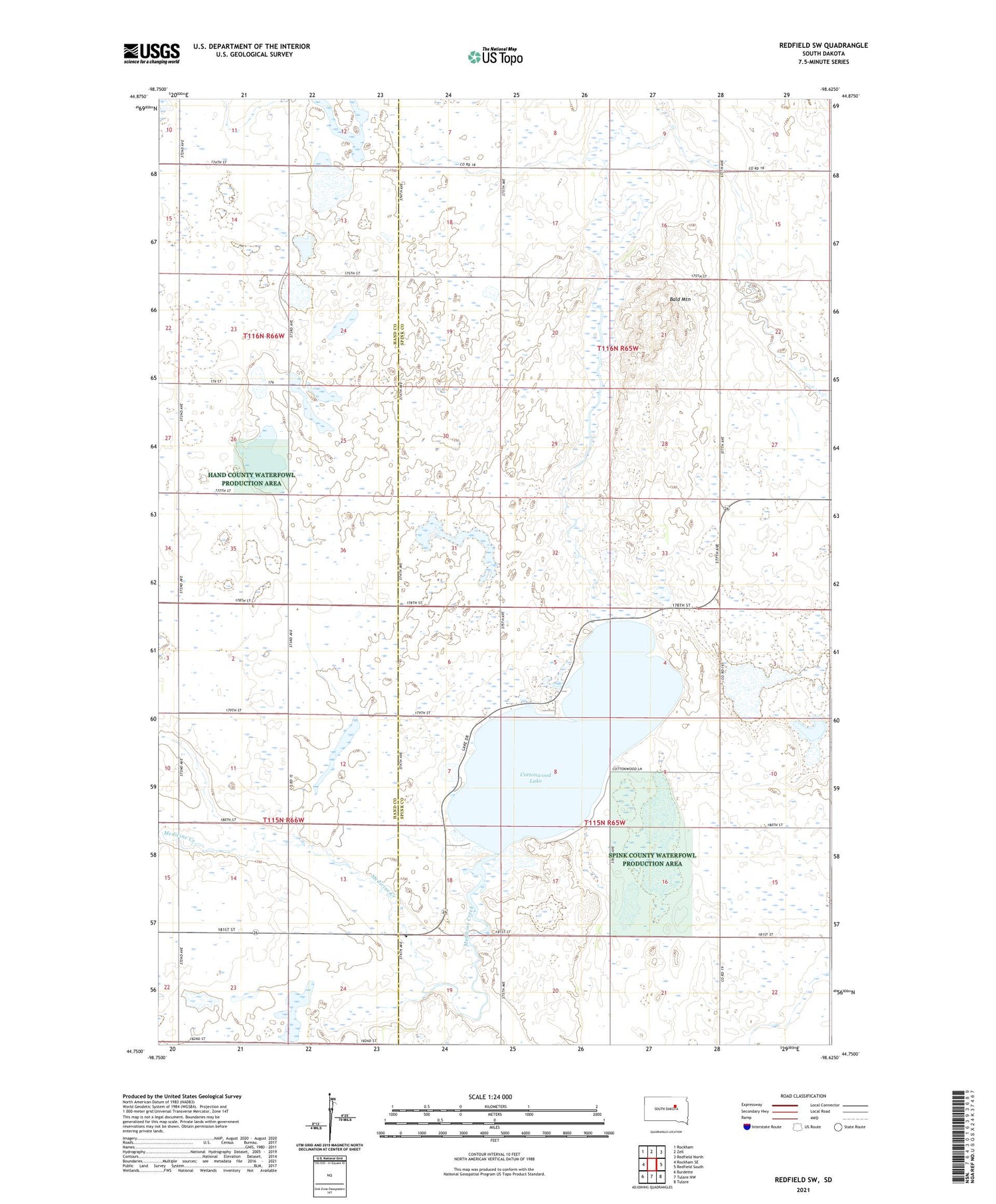
2021 topographic map quadrangle Redfield SW in the state of South Dakota. Scale: 1:24000. Based on the newly updated USGS 7.5' US Topo map series, this map is in the following counties: Spink, Hand. The map contains contour data, water features, and other items you are used to seeing on USGS maps, but also has updated roads and other features. This is the next generation of topographic maps. Printed on high-quality waterproof paper with UV fade-resistant inks.
Quads adjacent to this one:
West: Rockham SE
Northwest: Rockham
North: Zell
Northeast: Redfield North
East: Redfield South
Southeast: Tulare
South: Tulare NW
Southwest: Burdette
Contains the following named places: Bald Mountain, Boz Post Office, Cottonwood Lake, Eagle, Medicine Creek, Ridge Post Office, Township of Exline, Township of Lake, Township of Mountain