MyTopo
Salt Lake South Dakota US Topo Map
Couldn't load pickup availability
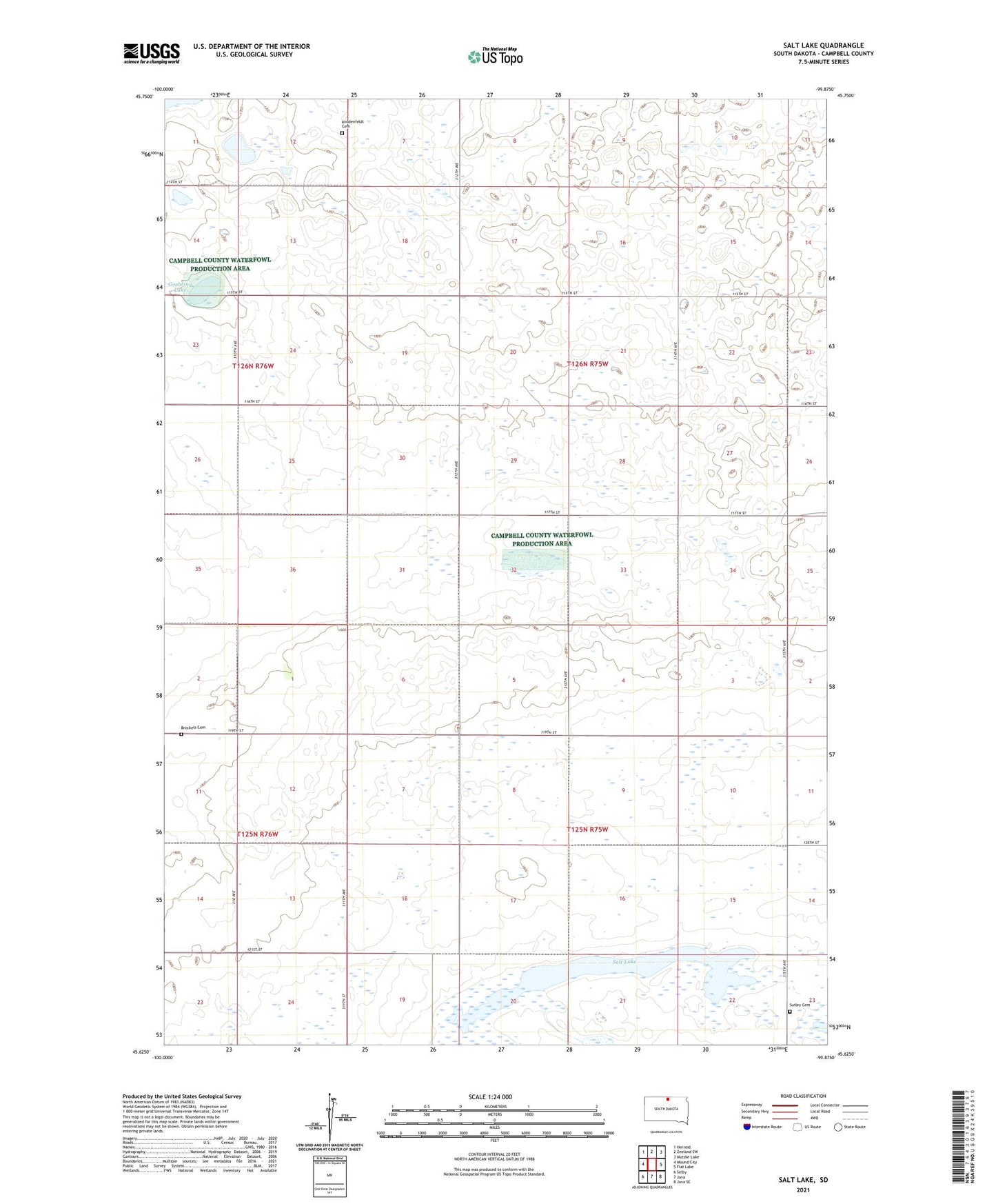
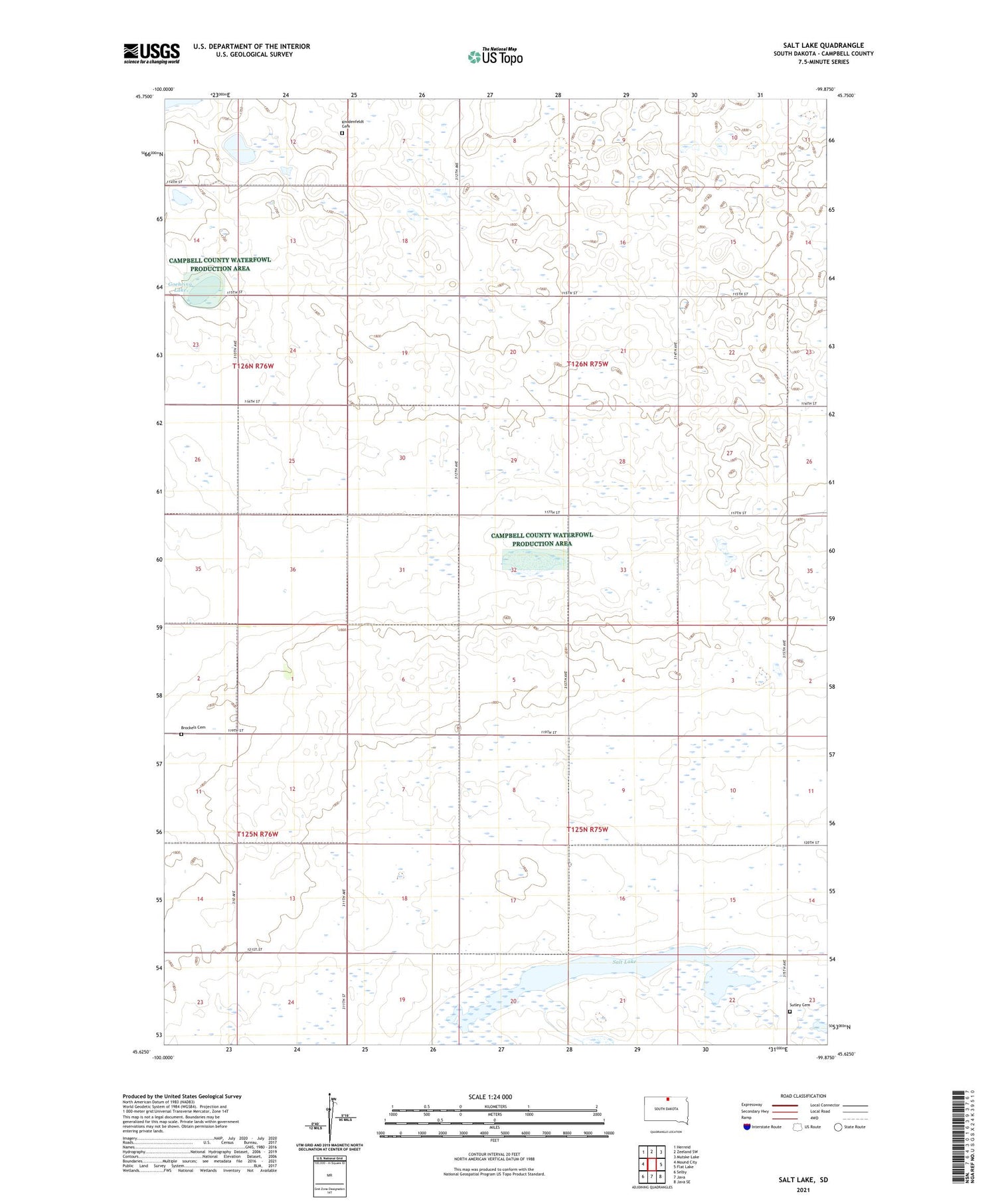
2021 topographic map quadrangle Salt Lake in the state of South Dakota. Scale: 1:24000. Based on the newly updated USGS 7.5' US Topo map series, this map is in the following counties: Campbell. The map contains contour data, water features, and other items you are used to seeing on USGS maps, but also has updated roads and other features. This is the next generation of topographic maps. Printed on high-quality waterproof paper with UV fade-resistant inks.
Quads adjacent to this one:
West: Mound City
Northwest: Herreid
North: Zeeland SW
Northeast: Mutske Lake
East: Flat Lake
Southeast: Java SE
South: Java
Southwest: Selby
Contains the following named places: Brockels Cemetery, German Baptist Church, Goehring Lake, Knodenfeldt Cemetery, Salt Lake, Salt Lake State Public Shooting Area, Sutley Cemetery, Township of Blessing, Township of Dewey, Township of Garfield, Township of Schley, Township of Sherman