MyTopo
Sansarc South Dakota US Topo Map
Couldn't load pickup availability
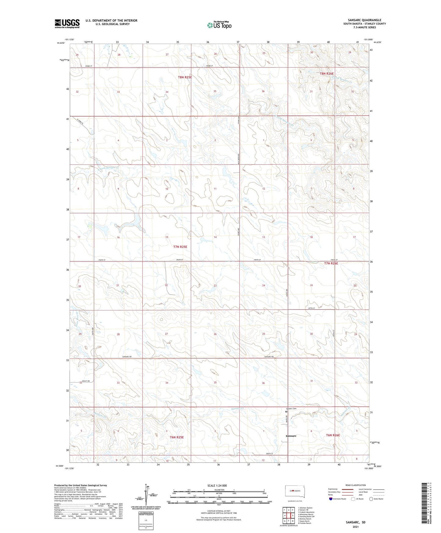
2021 topographic map quadrangle Sansarc in the state of South Dakota. Scale: 1:24000. Based on the newly updated USGS 7.5' US Topo map series, this map is in the following counties: Stanley. The map contains contour data, water features, and other items you are used to seeing on USGS maps, but also has updated roads and other features. This is the next generation of topographic maps. Printed on high-quality waterproof paper with UV fade-resistant inks.
Quads adjacent to this one:
West: Whiteman Ranch
Northwest: Alleman Station
North: Sansarc NE
Northeast: Crokett Mountains
East: Standing Butte SW
Southeast: Fratzke Ranch
South: Hayes North
Southwest: Bentley Ranch
Contains the following named places: Borden Ranch, D Jones Ranch, J Anderson Ranch, M Jones Ranch, N C Andersen Ranch, Norman Ranch, Olson Ranch, Sansarc, Sansarc Cemetery, Scarborough Ranch, Stoeser Ranch, Walker Ranch, ZIP Code: 57537