MyTopo
Short Bow Creek West South Dakota US Topo Map
Couldn't load pickup availability
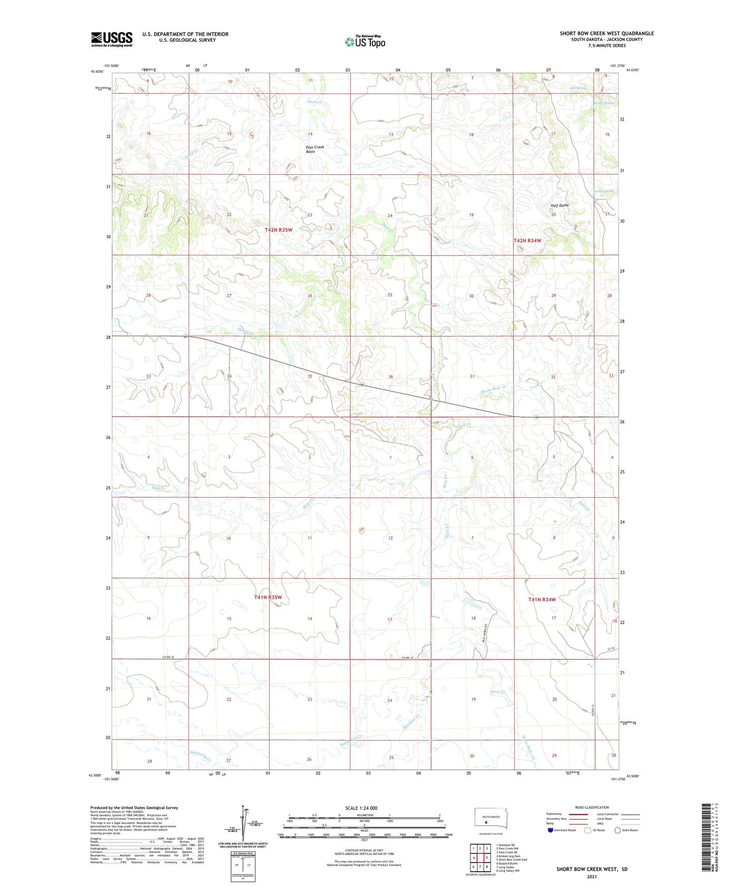
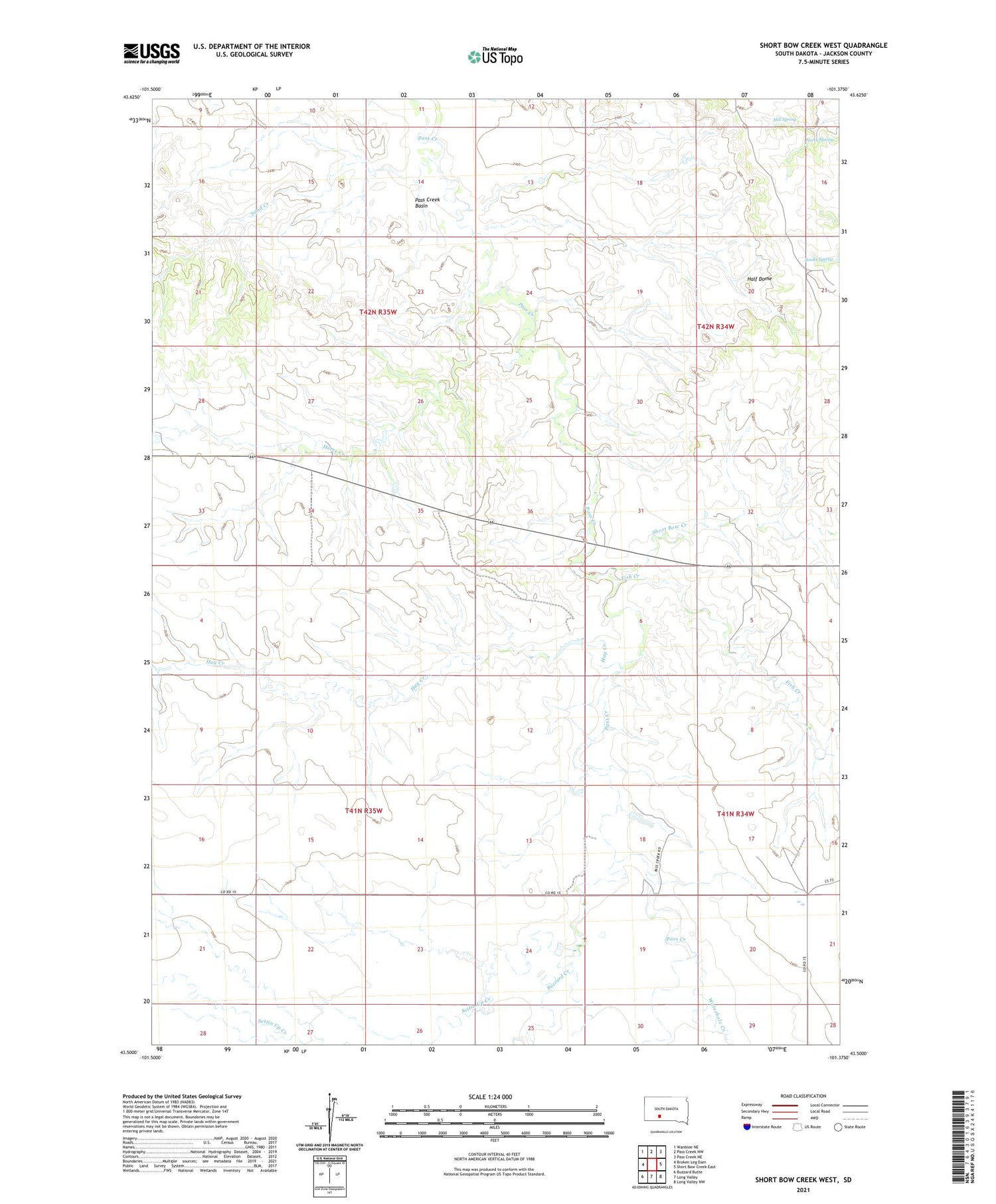
2021 topographic map quadrangle Short Bow Creek West in the state of South Dakota. Scale: 1:24000. Based on the newly updated USGS 7.5' US Topo map series, this map is in the following counties: Jackson. The map contains contour data, water features, and other items you are used to seeing on USGS maps, but also has updated roads and other features. This is the next generation of topographic maps. Printed on high-quality waterproof paper with UV fade-resistant inks.
Quads adjacent to this one:
West: Broken Leg Dam
Northwest: Wanblee NE
North: Pass Creek NW
Northeast: Pass Creek NE
East: Short Bow Creek East
Southeast: Long Valley NW
South: Long Valley
Southwest: Buzzard Butte
Contains the following named places: Berry Dam, Buzzard Creek, Fish Creek, Half Dome, Hay Creek, Hill Spring, Hume Creek, Hume Creek Dam, M7 Dam, North Spring, Pass Creek Basin, Rooks Spring, Sand Creek, Settin Up Creek, Short Bow Creek, Waterhole Creek