MyTopo
Thunder Butte South Dakota US Topo Map
Couldn't load pickup availability
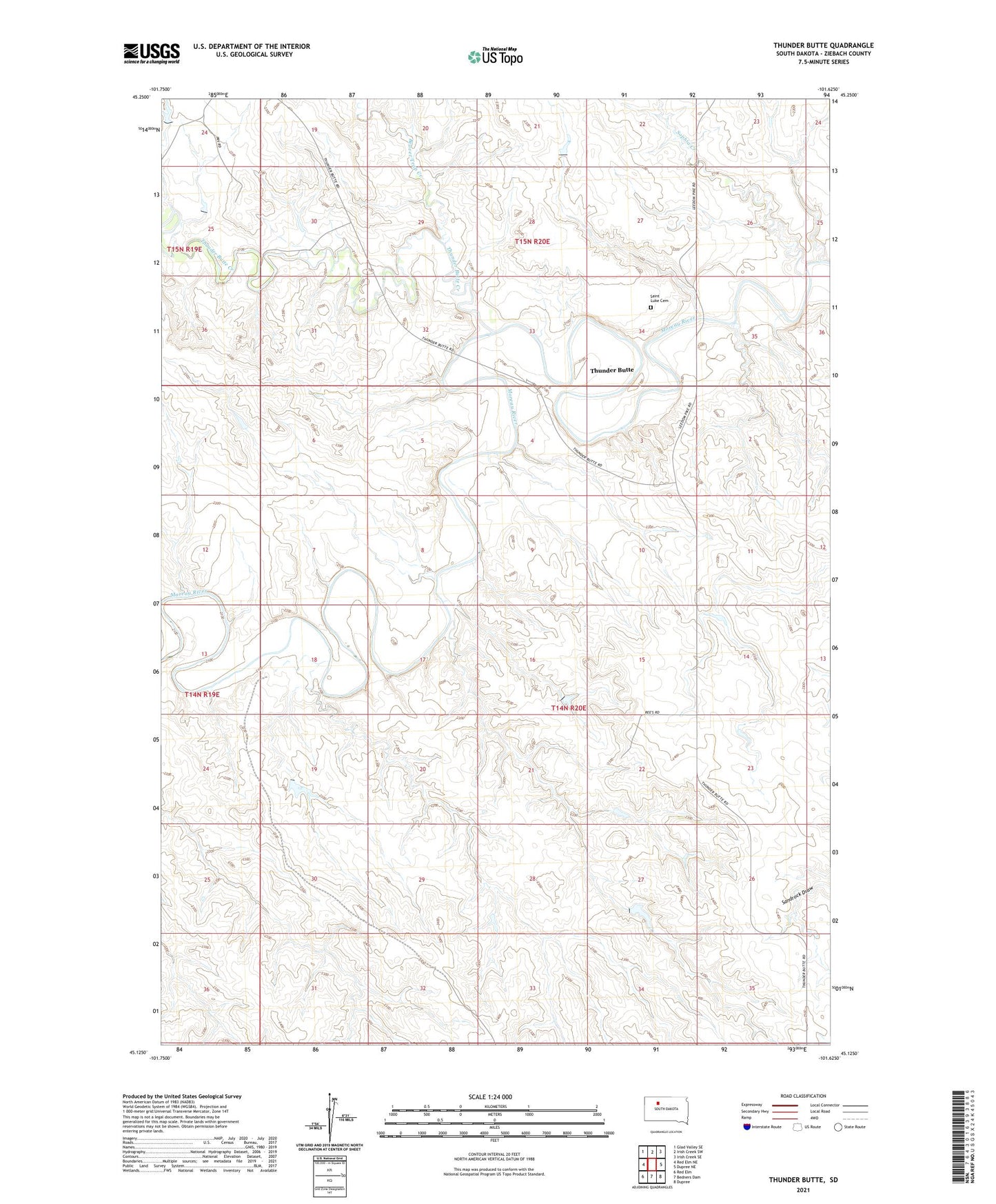
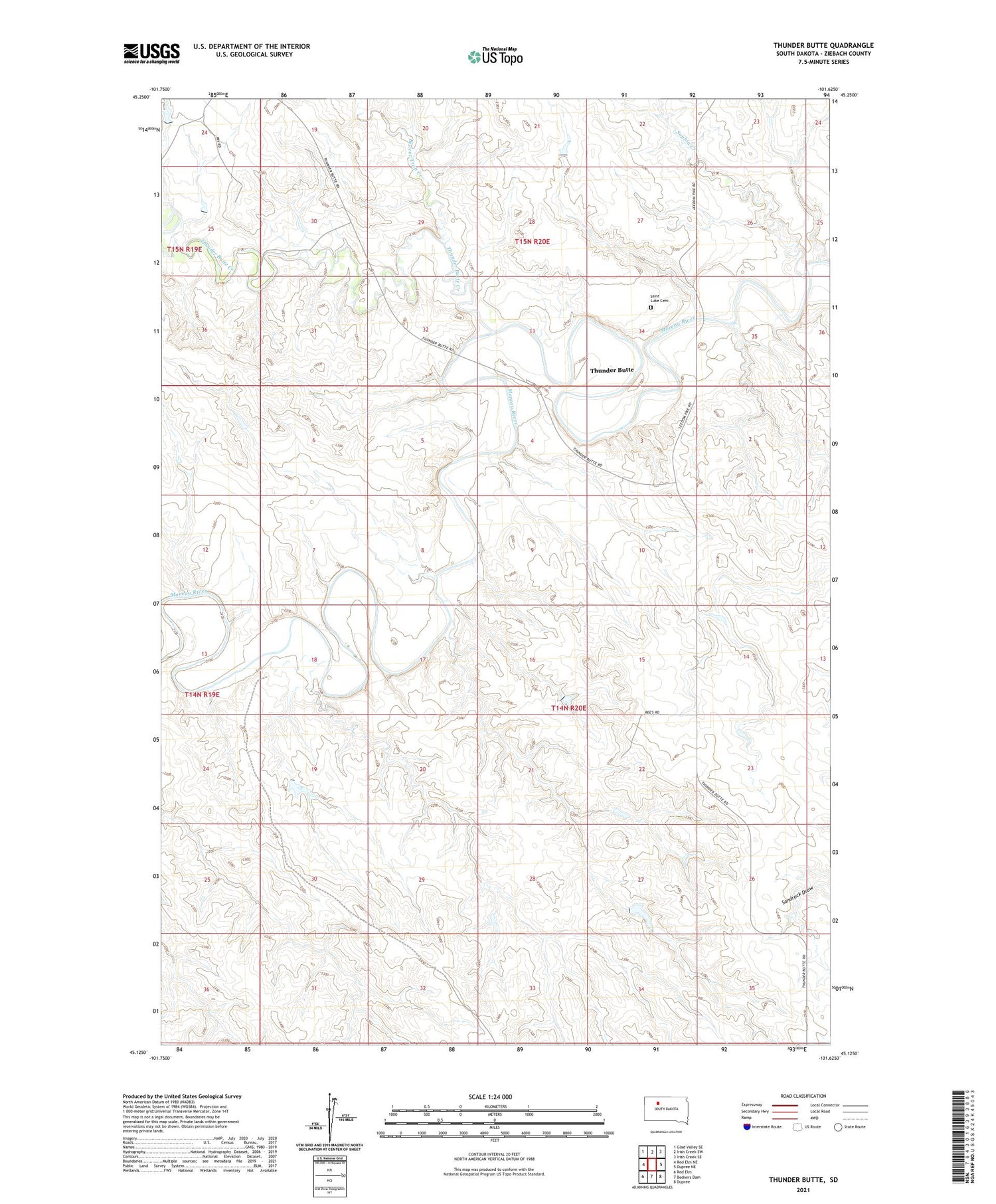
2021 topographic map quadrangle Thunder Butte in the state of South Dakota. Scale: 1:24000. Based on the newly updated USGS 7.5' US Topo map series, this map is in the following counties: Ziebach. The map contains contour data, water features, and other items you are used to seeing on USGS maps, but also has updated roads and other features. This is the next generation of topographic maps. Printed on high-quality waterproof paper with UV fade-resistant inks.
Quads adjacent to this one:
West: Red Elm NE
Northwest: Glad Valley SE
North: Irish Creek SW
Northeast: Irish Creek SE
East: Dupree NE
Southeast: Dupree
South: Bedners Dam
Southwest: Red Elm
Contains the following named places: Beaver Trap Creek, High Point School, Saint Luke Cemetery, Sophia Creek, Thunder Butte, Thunder Butte Creek, Viet Number 2 Dam