MyTopo
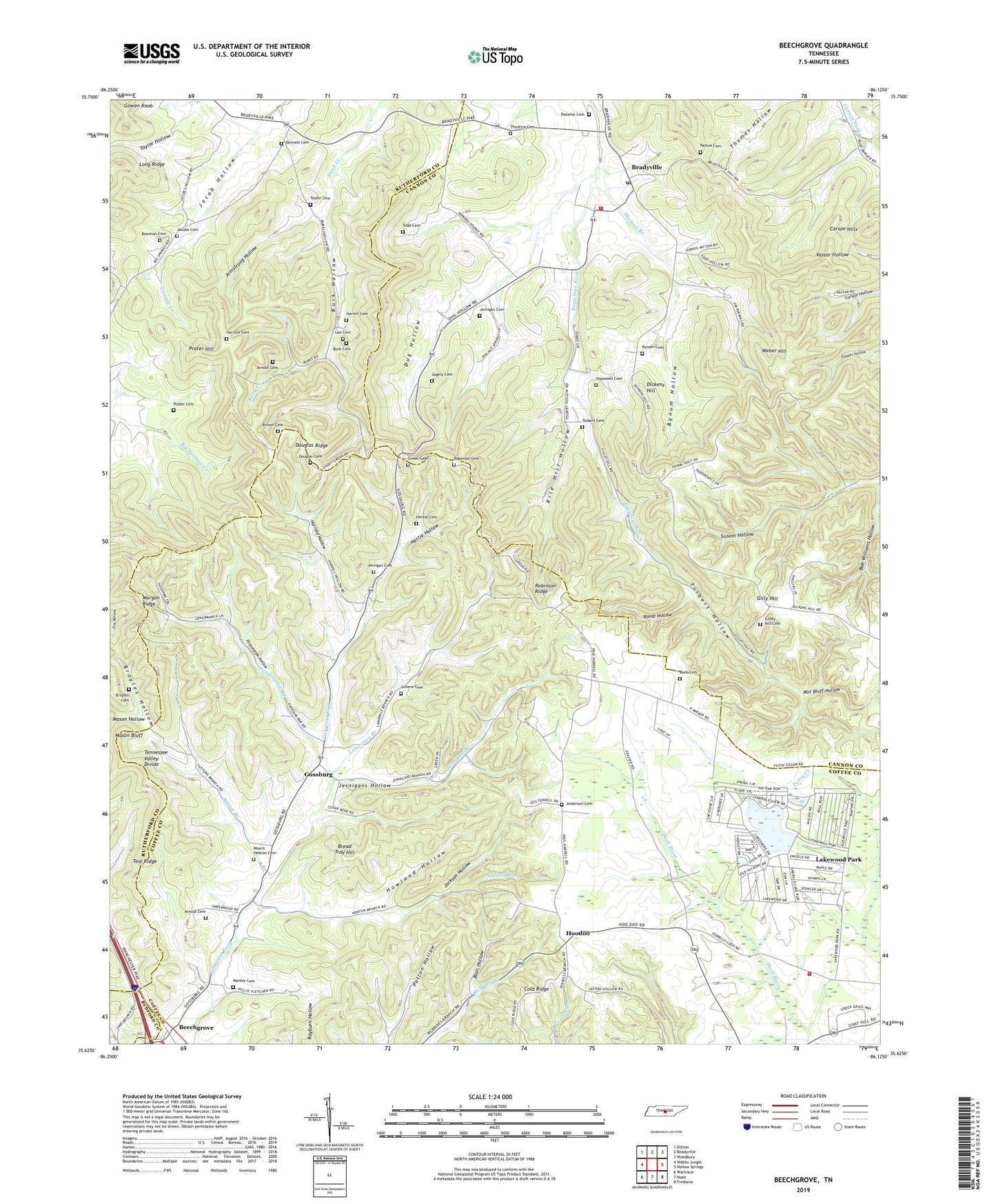
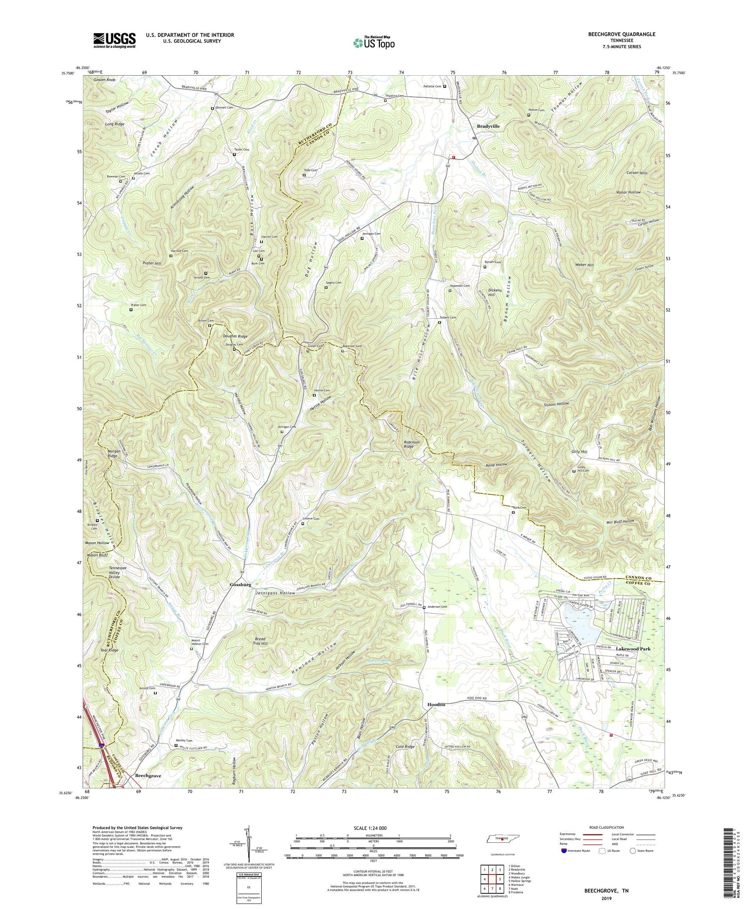
Beechgrove Tennessee US Topo Map
Couldn't load pickup availability
2019 topographic map quadrangle Beechgrove in the state of Tennessee. Scale: 1:24000. Based on the newly updated USGS 7.5' US Topo map series, this map is in the following counties: Coffee, Cannon, Rutherford, Bedford. The map contains contour data, water features, and other items you are used to seeing on USGS maps, but also has updated roads and other features. This is the next generation of topographic maps. Printed on high-quality waterproof paper with UV fade-resistant inks.
Quads adjacent to this one:
West: Webbs Jungle
Northwest: Dillton
North: Readyville
Northeast: Woodbury
East: Hollow Springs
Southeast: Fredonia
South: Noah
Southwest: Wartrace
Contains the following named places: Anderson Cemetery, Armstrong Hollow, Arnold Cemetery, Ashley School, Barnes Store, Bayley Mill, Beechgrove, Blair Hollow, Bowman Cemetery, Bradyville, Bradyville Church of Christ, Bradyville Post Office, Bradyville School, Bradyville Volunteer Fire Department, Bread Tray Hill, Brown Cemetery, Broyles Cemetery, Broyles Hollow, Burk Cemetery, Burk Hollow, Burk School, Bynum Cemetery, Bynum Hollow, Carson Hills, Commissioner District 10, Dickens Hill, Donnel Chapel, Donnell Cemetery, Donnell Chapel, Douglas Cemetery, Douglas Ridge, Dug Hollow, Fort Nash, Fudgearound, Garrison Fork Church, Gilley Hill Cemetery, Gilley Hill Church, Gilley Hill School, Gilly Hill, Gnat Hill School, Gossburg, Gossburg School, Green Cemetery, Greene Cemetery, Harrell Cemetery, Harrold Cemetery, Harrold Hollow, Hatties Chapel Church, Hettie Cemetery, Hettie Hollow, Hoodoo, Hoodoo Methodist Church, Hopewell, Hopewell Baptist Church, Hopewell Cemetery, Hopewell School, Howland Hollow, Jackson Hollow, Jacob Hollow, Jacobs Cemetery, Jernigan, Jernigan Branch, Jernigan Cemetery, Jernigan Hill Church, Jernigan School, Jernigans Hollow, Lakewood Park Census Designated Place, Lawrence Branch, Lee Cemetery, Manley Cemetery, Mason Bluff, Mill Bluff Hollow, Morgan Ridge, Mount Hebron Camp Ground, Mount Hebron Cemetery, New Union Volunteer Fire Department Station 2, Norton Branch, Pallette Cemetery, Patton Cemetery, Patton Hollow, Possumpaw Branch, Possumpaw Hollow, Prater Cemetery, Prater Hill, Ramp Hollow, Rile Hill Hollow, Robinson, Robinson Cemetery, Robinson Ridge, Sagely Cemetery, Shelton Branch, Sutton Branch, Taylor Cemetery, Taylor Hollow, Teal Ridge, Thyatira, Thyatira Cemetery, Thyatira Church, Todd Cemetery, Tolbert Cemetery, Tolbert Hollow, Tolbertsville, Union Church, Weber Hill, Woodland Elementary School, ZIP Code: 37018