MyTopo
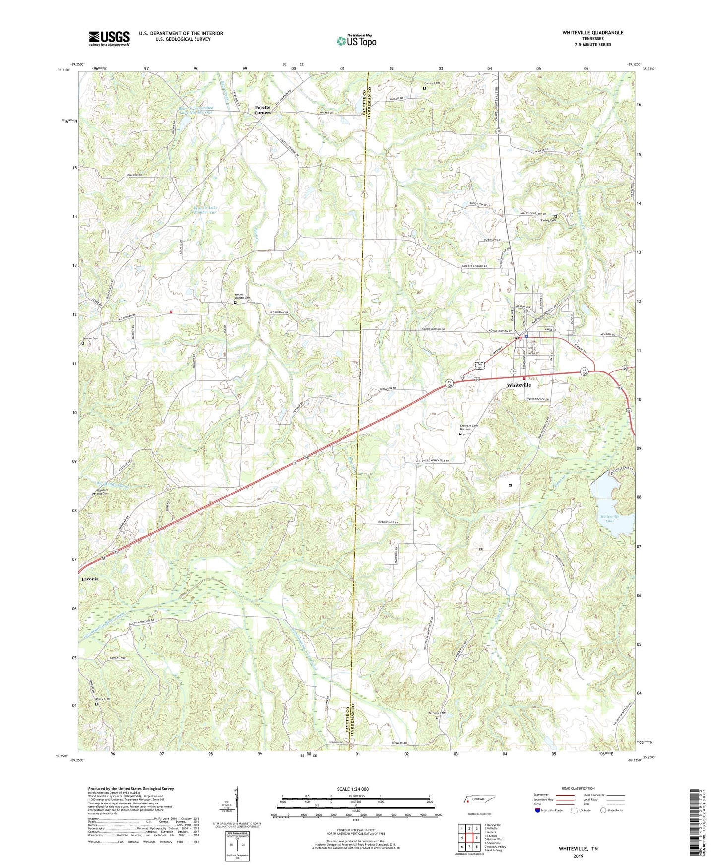
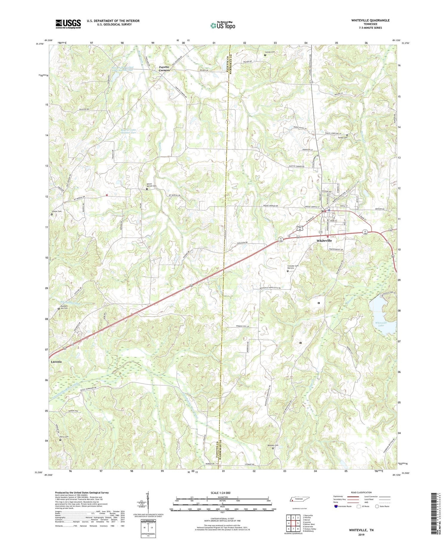
Whiteville Tennessee US Topo Map
Couldn't load pickup availability
2019 topographic map quadrangle Whiteville in the state of Tennessee. Scale: 1:24000. Based on the newly updated USGS 7.5' US Topo map series, this map is in the following counties: Hardeman, Fayette. The map contains contour data, water features, and other items you are used to seeing on USGS maps, but also has updated roads and other features. This is the next generation of topographic maps. Printed on high-quality waterproof paper with UV fade-resistant inks.
Quads adjacent to this one:
West: Laconia
Northwest: Dancyville
North: Hillville
Northeast: Mercer
East: Bolivar West
Southeast: Middleburg
South: Hickory Valley
Southwest: Somerville
Contains the following named places: Antioch Missionary Baptist Church, Bear Creek Lake Dam Number Two, Bear Creek Lake Number Two, Bear Creek Watershed Dam Number One, Bear Creek Watershed Lake Number One, Bethany Cemetery, Bramley / Brumley Cemetery, Carnes Cemetery, Clover Garden Church, Clover Garden School, Commissioner District 3, Crowder Cemetery Barrens, Elcanaan Baptist Church, Farley Cemetery, Fayette Corners, Fayette County Fire Department / Northeast District 13, First Baptist Church, First United Methodist Church, Gallaway Volunteer Fire Department, Hardeman County Correctional Facility, Ina, Ina School, Lewis School, Mount Moriah, Mount Moriah Cemetery, Mount Moriah Church, Mount Moriah School, Perry Cemetery, Pleasant Hill Cemetery, Pleasant Hill Church, Rhodes Store, Smith Chapel, Smith Number Three School, Smyrna Church, Town of Whiteville, Union Hill Church, Union School, Whiteville, Whiteville City Hall, Whiteville Correctional Facility, Whiteville Division, Whiteville Elementary School, Whiteville Lake, Whiteville Lake Dam, Whiteville Police Department, Whiteville Post Office, Whiteville Volunteer Fire Department