MyTopo
Abernathy Texas US Topo Map
Couldn't load pickup availability
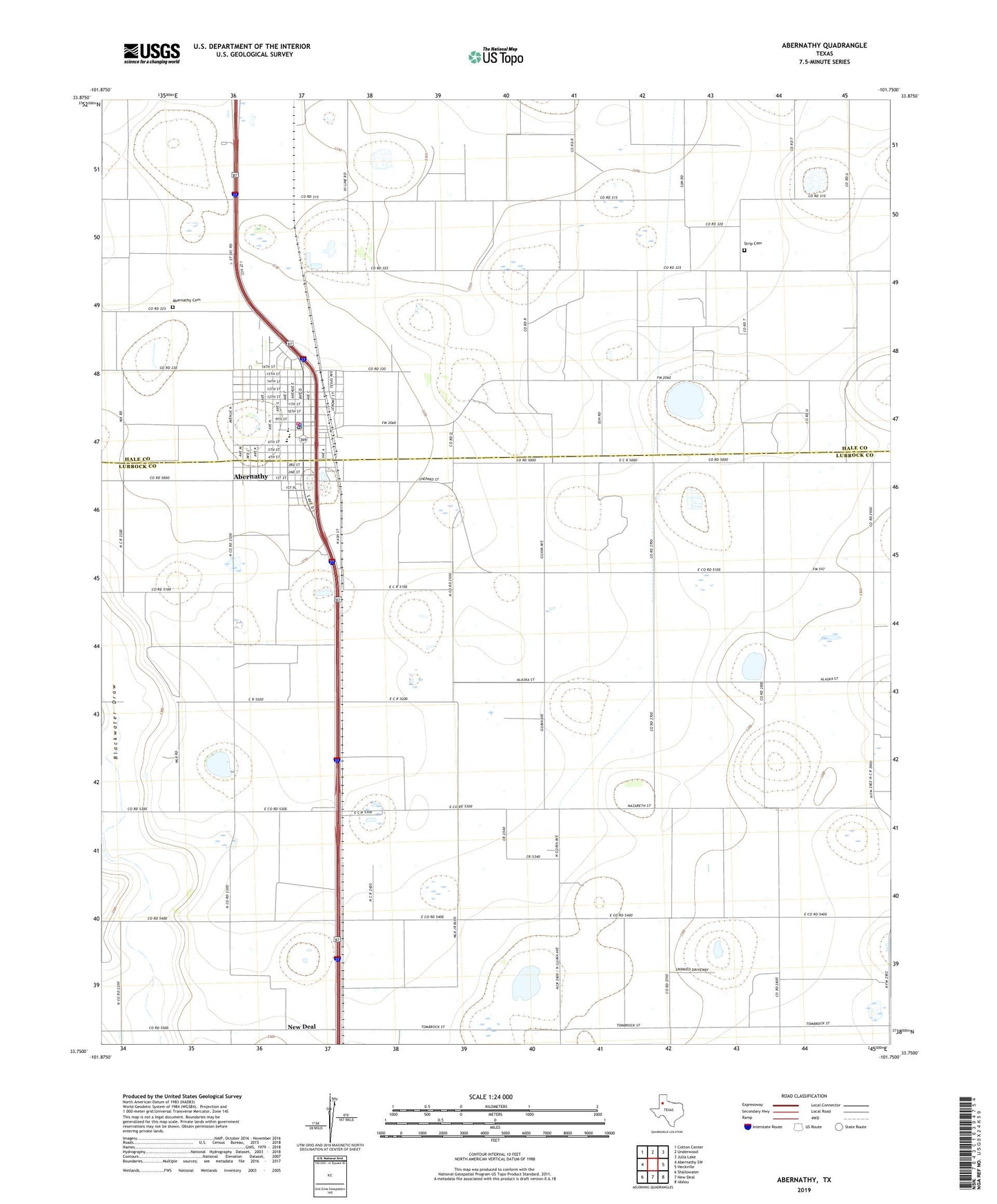
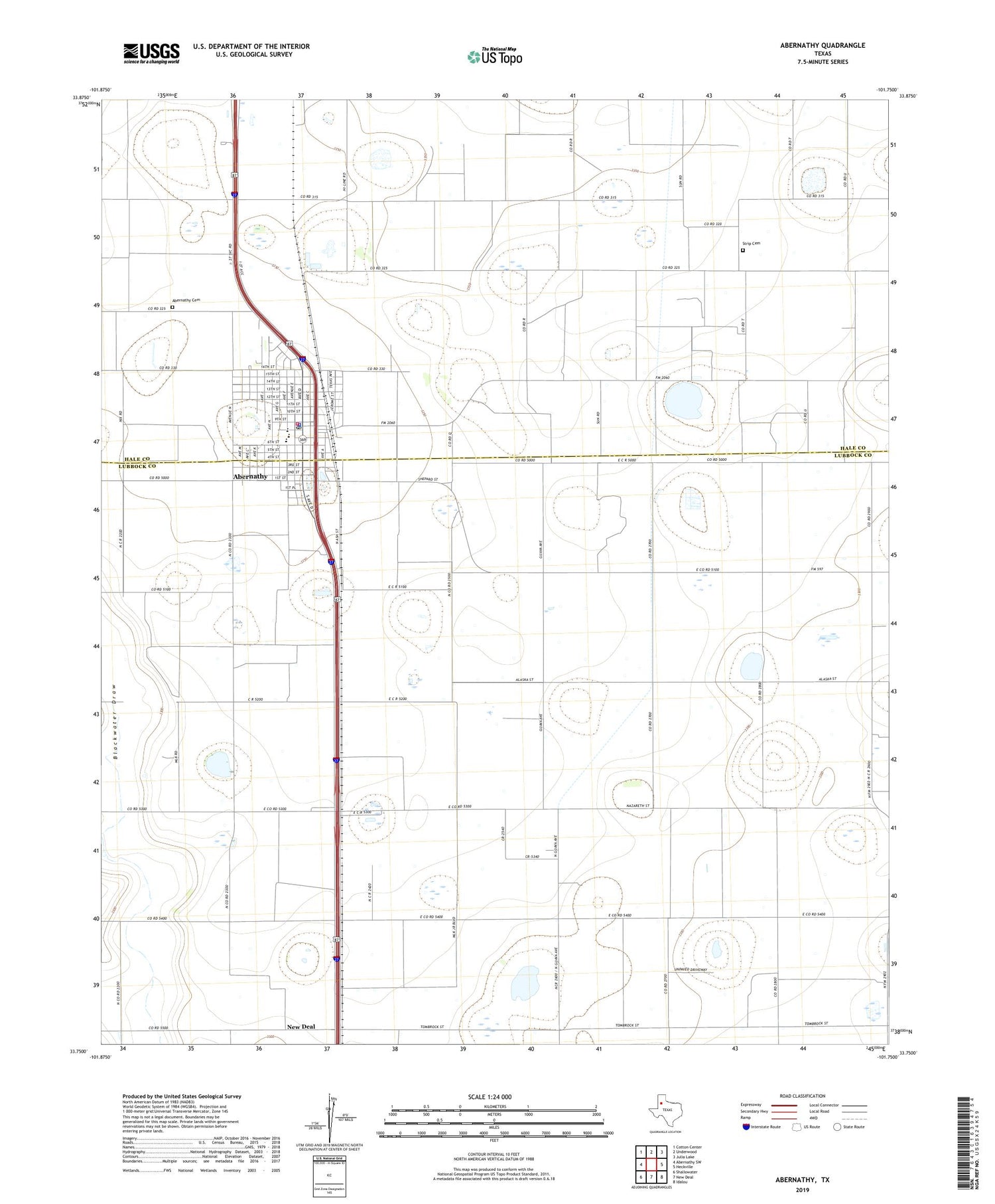
2019 topographic map quadrangle Abernathy in the state of Texas. Scale: 1:24000. Based on the newly updated USGS 7.5' US Topo map series, this map is in the following counties: Lubbock, Hale. The map contains contour data, water features, and other items you are used to seeing on USGS maps, but also has updated roads and other features. This is the next generation of topographic maps. Printed on high-quality waterproof paper with UV fade-resistant inks.
Quads adjacent to this one:
West: Abernathy SW
Northwest: Cotton Center
North: Underwood
Northeast: Julia Lake
East: Heckville
Southeast: Idalou
South: New Deal
Southwest: Shallowater
Contains the following named places: Abernathy, Abernathy Cemetery, Abernathy City Hall, Abernathy Elementary School, Abernathy Emergency Medical Services, Abernathy High School, Abernathy Middle School, Abernathy Municipal Airport, Abernathy Police Department, Abernathy Post Office, Abernathy Volunteer Fire Department, Center Church, Church of Christ, City of Abernathy, Cravens Oil Field, First Baptist Church, First Church of the Nazarene, North Side Baptist Church, Strip Cemetery