MyTopo
Adobe Creek SE Texas US Topo Map
Couldn't load pickup availability
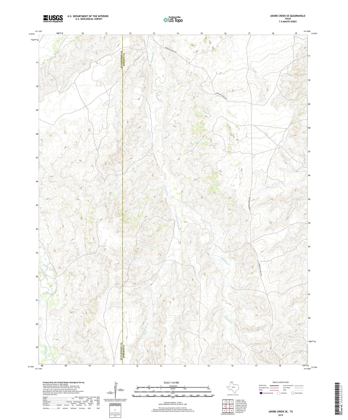
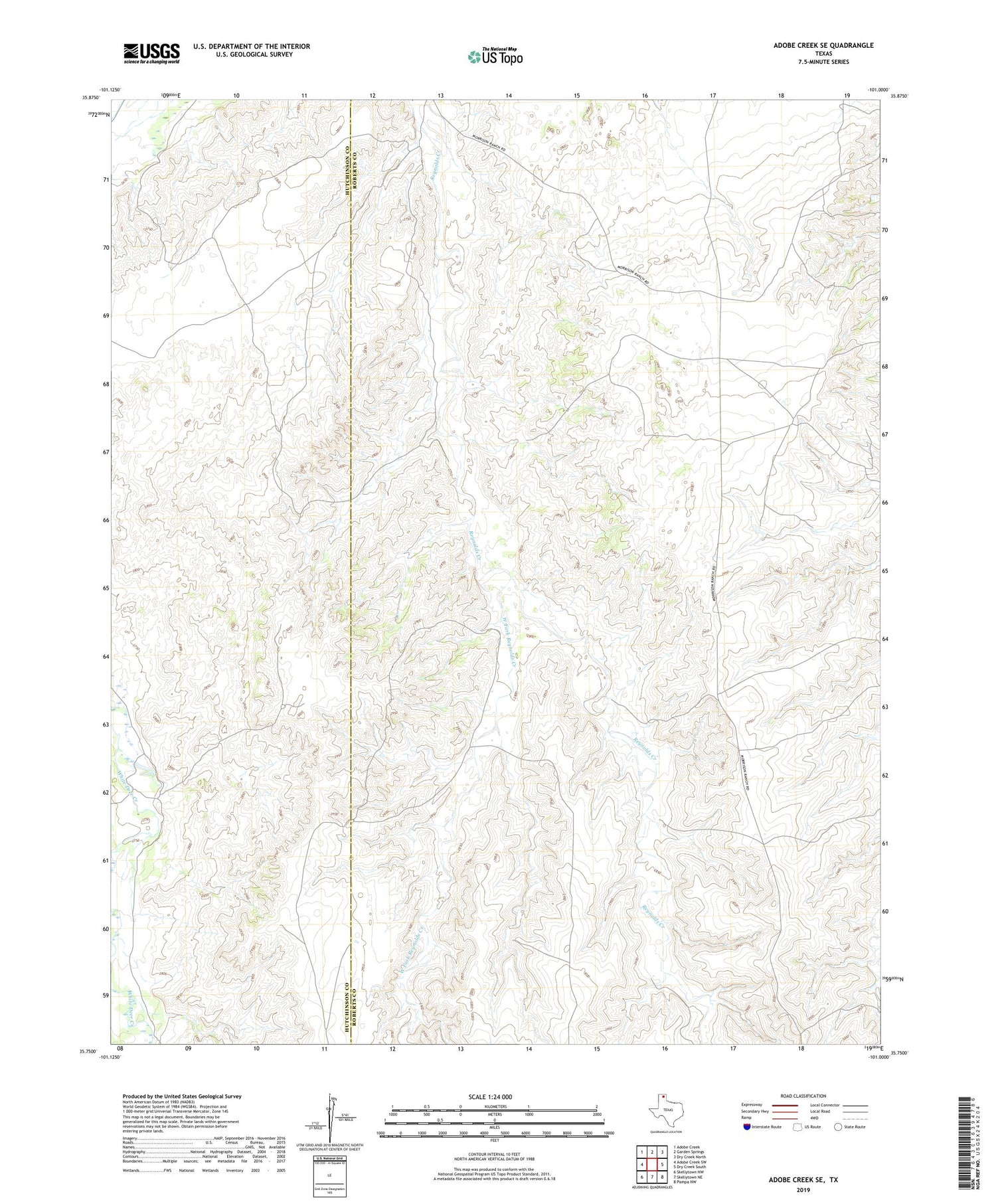
2019 topographic map quadrangle Adobe Creek SE in the state of Texas. Scale: 1:24000. Based on the newly updated USGS 7.5' US Topo map series, this map is in the following counties: Roberts, Hutchinson. The map contains contour data, water features, and other items you are used to seeing on USGS maps, but also has updated roads and other features. This is the next generation of topographic maps. Printed on high-quality waterproof paper with UV fade-resistant inks.
Quads adjacent to this one:
West: Adobe Creek SW
Northwest: Adobe Creek
North: Garden Springs
Northeast: Dry Creek North
East: Dry Creek South
Southeast: Pampa NW
South: Skellytown NE
Southwest: Skellytown NW
Contains the following named places: Cake House Windmill, Highland Windmill, Morrison Ranch, North Camp Windmill, Sand Hill Windmill, West Fork Reynolds Creek