MyTopo
Buena Vista Texas US Topo Map
Couldn't load pickup availability
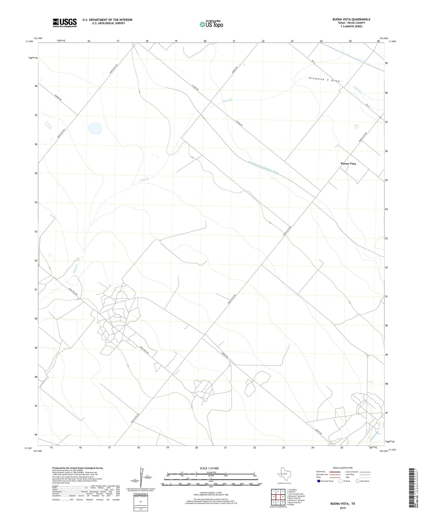
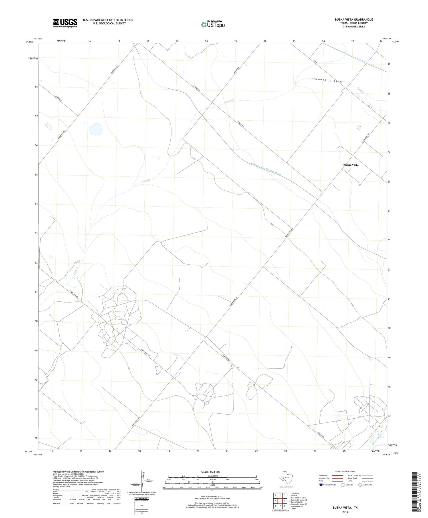
2019 topographic map quadrangle Buena Vista in the state of Texas. Scale: 1:24000. Based on the newly updated USGS 7.5' US Topo map series, this map is in the following counties: Pecos. The map contains contour data, water features, and other items you are used to seeing on USGS maps, but also has updated roads and other features. This is the next generation of topographic maps. Printed on high-quality waterproof paper with UV fade-resistant inks.
Quads adjacent to this one:
West: Diamond Y Spring NE
Northwest: Grandfalls
North: Imperial
Northeast: Juan Cordona Lake
East: Buena Vista NE
Southeast: Owego
South: Buena Vista SW
Southwest: Diamond Y Spring SE
Contains the following named places: Buena Vista, Imperial Canal Number Three, Imperial Emitter Site, Lehn-Apco North Oil Field, Lehn-Apco Oil Field, Masterson Oil Field, Pecos Shearer Oil Field