MyTopo
Canyon Valley Texas US Topo Map
Couldn't load pickup availability
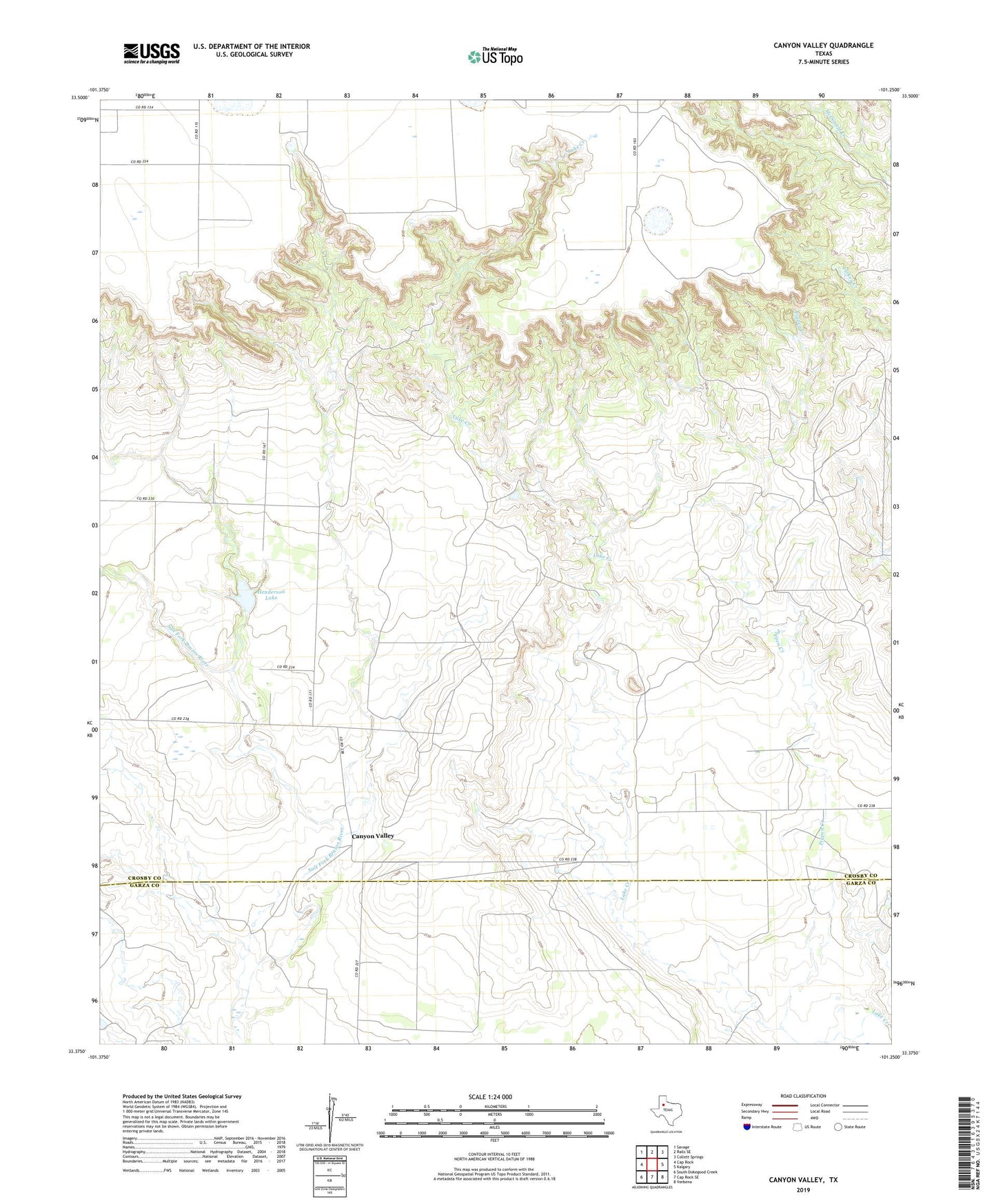
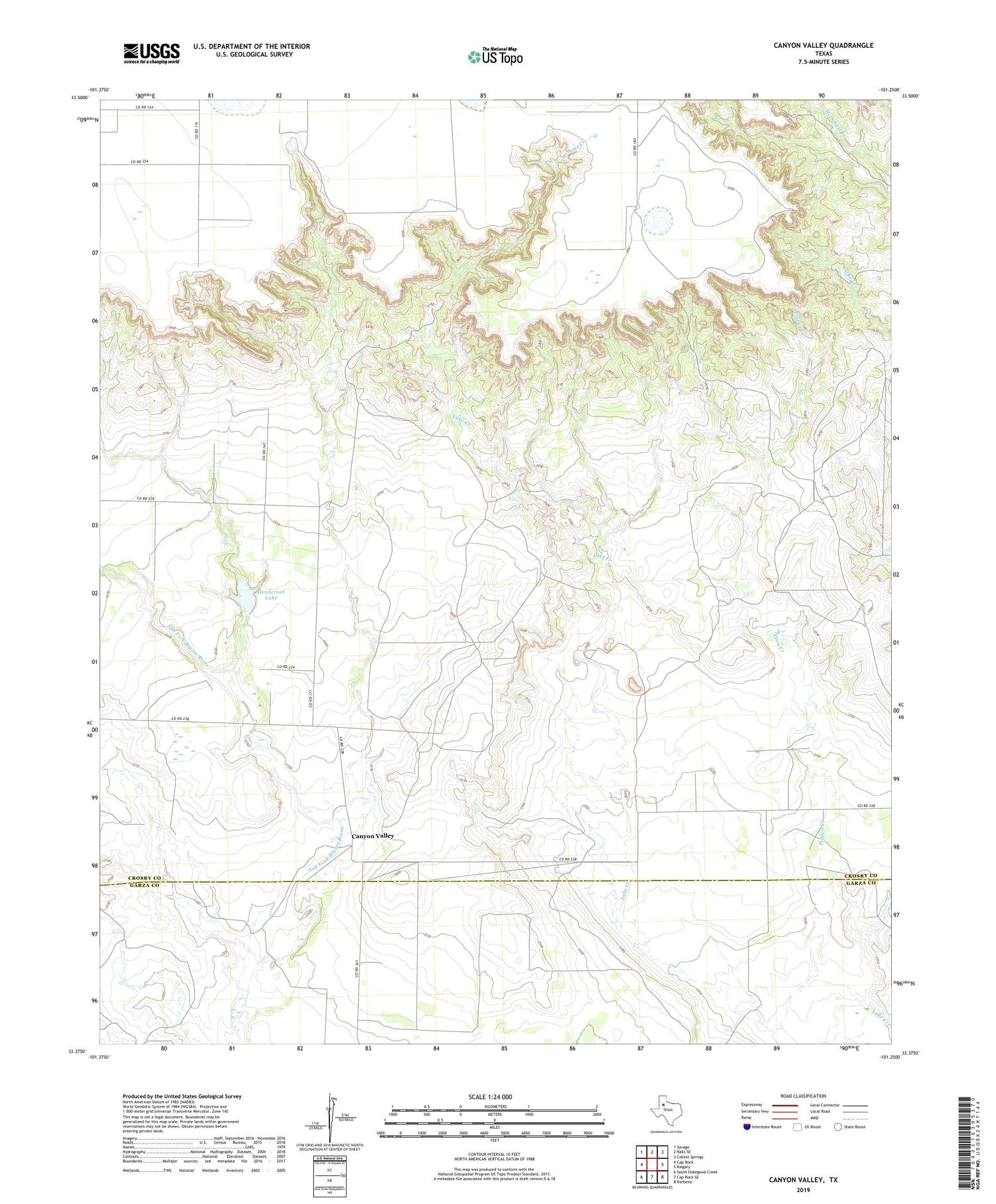
2019 topographic map quadrangle Canyon Valley in the state of Texas. Scale: 1:24000. Based on the newly updated USGS 7.5' US Topo map series, this map is in the following counties: Crosby, Garza. The map contains contour data, water features, and other items you are used to seeing on USGS maps, but also has updated roads and other features. This is the next generation of topographic maps. Printed on high-quality waterproof paper with UV fade-resistant inks.
Quads adjacent to this one:
West: Cap Rock
Northwest: Savage
North: Ralls SE
Northeast: Collett Springs
East: Kalgary
Southeast: Verbena
South: Cap Rock SE
Southwest: South Dokegood Creek
Contains the following named places: Canyon Valley, Henderson Dam, Henderson Lake, Pigpen Creek