MyTopo
Cook Creek South Texas US Topo Map
Couldn't load pickup availability
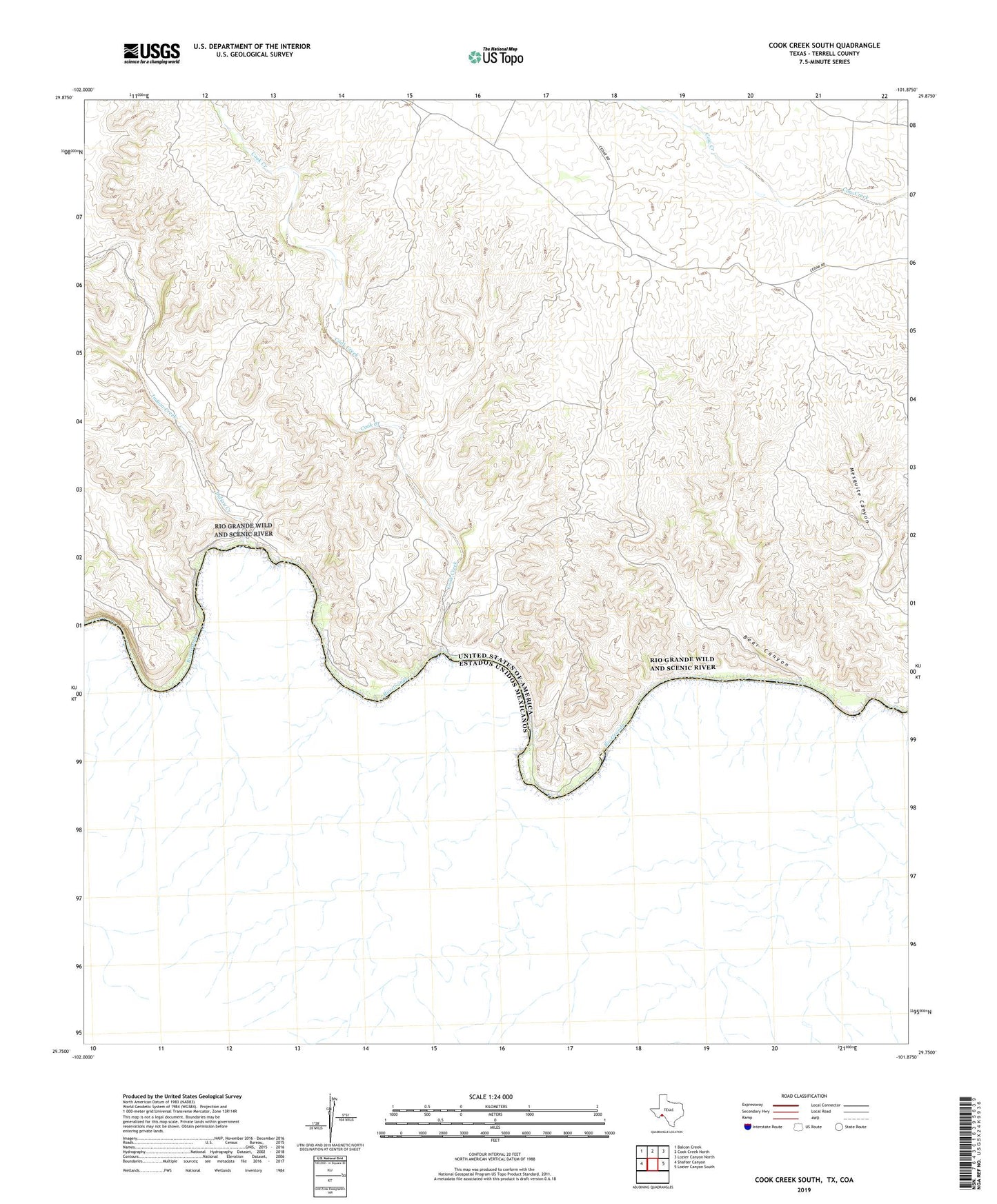
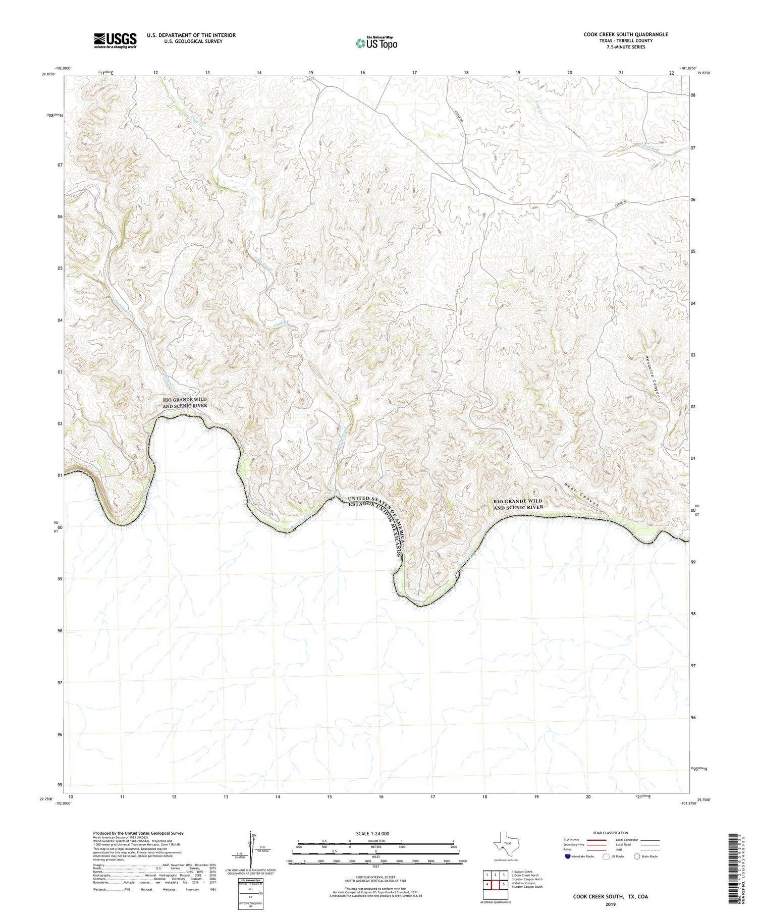
2019 topographic map quadrangle Cook Creek South in the state of Texas. Scale: 1:24000. Based on the newly updated USGS 7.5' US Topo map series, this map is in the following counties: Terrell. The map contains contour data, water features, and other items you are used to seeing on USGS maps, but also has updated roads and other features. This is the next generation of topographic maps. Printed on high-quality waterproof paper with UV fade-resistant inks.
Quads adjacent to this one:
West: Shafter Canyon
Northwest: Balcon Creek
North: Cook Creek North
Northeast: Lozier Canyon North
East: Lozier Canyon South
Contains the following named places: Bear Canyon, Casa de Peidras, Cinco de Mayo Crossing, Cook Creek, El Indio Crossing, El Mesquite Crossing, Indian Creek, Watts Ranch, Williams Ranch