MyTopo
Crane Texas US Topo Map
Couldn't load pickup availability
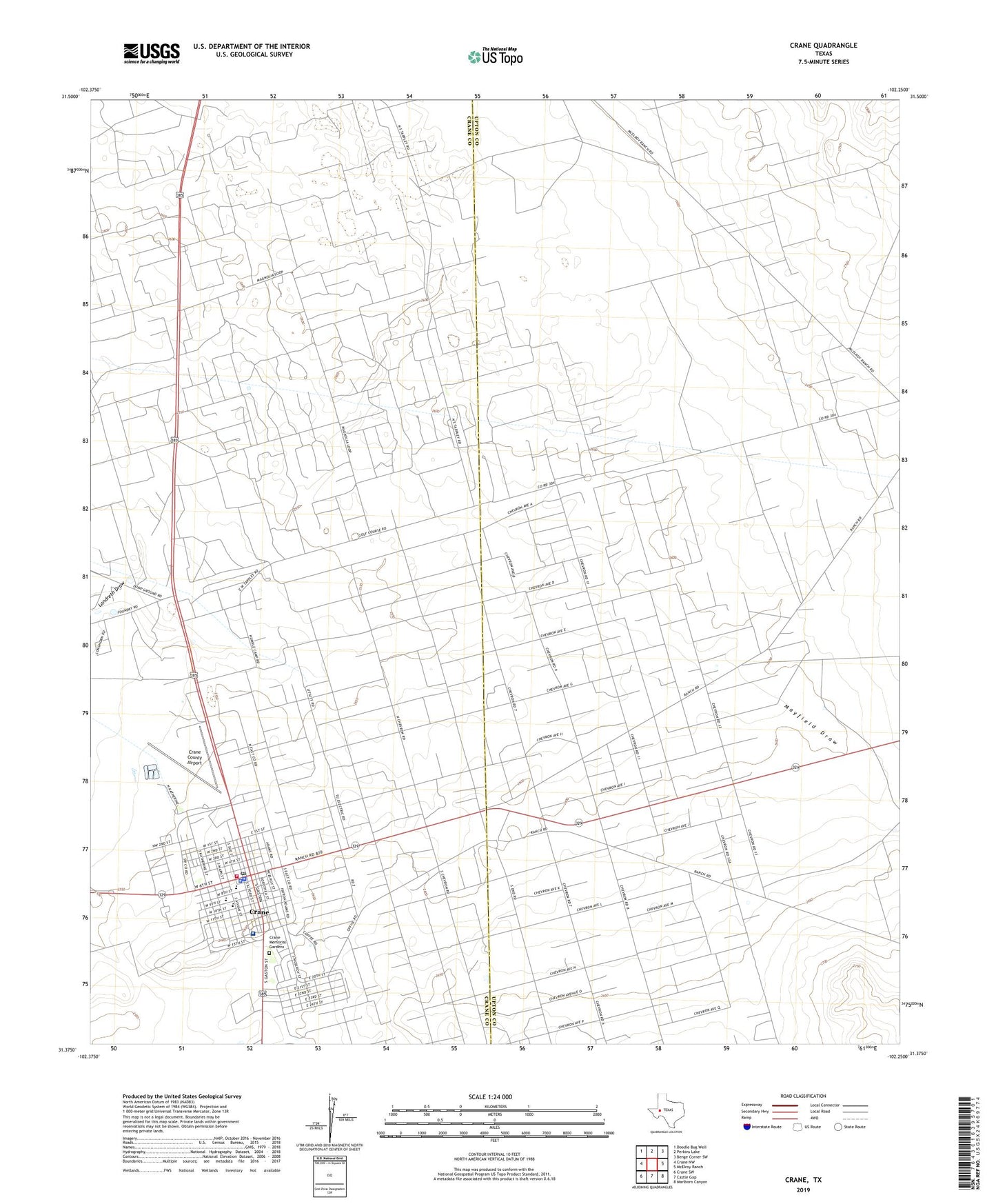
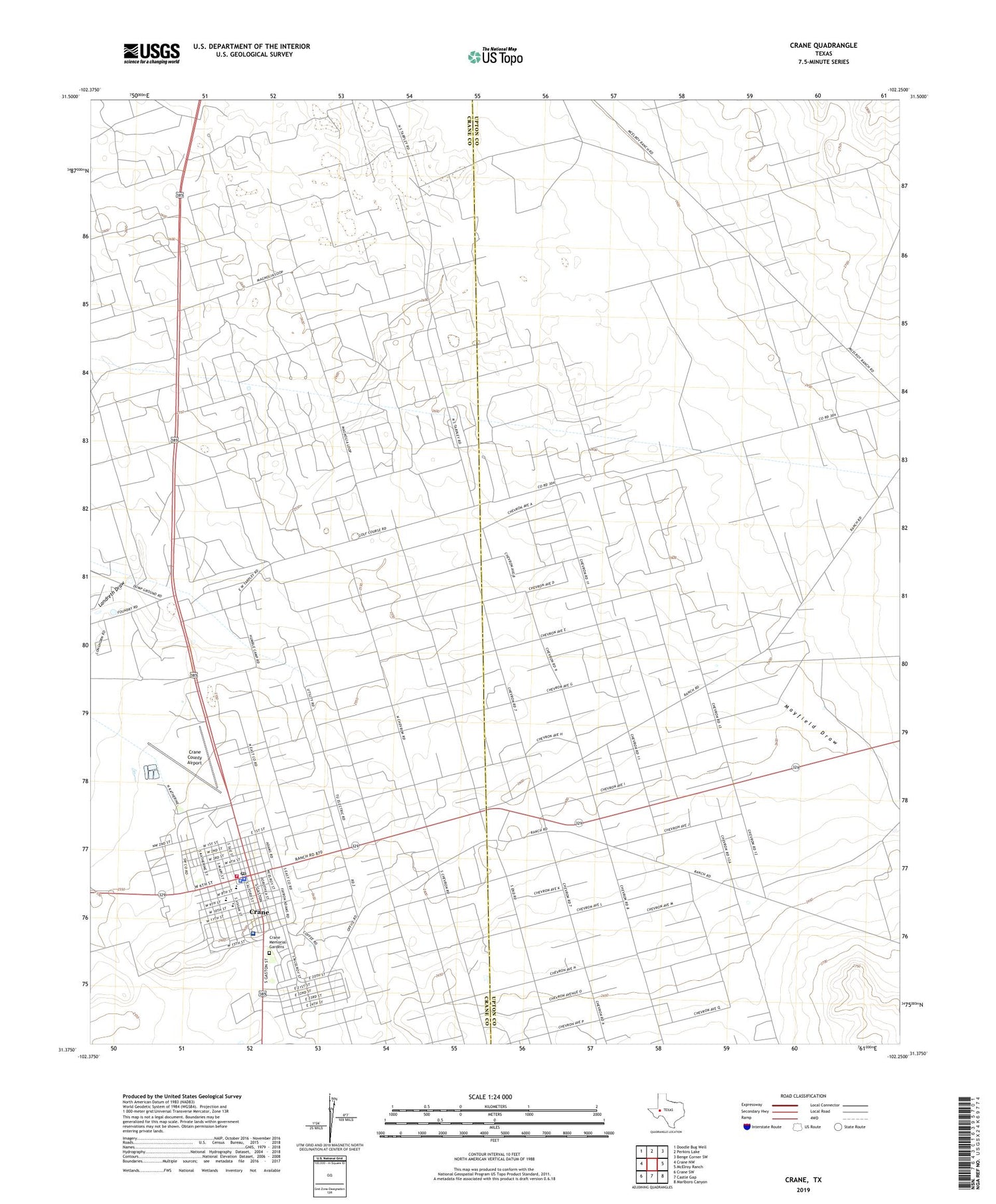
2019 topographic map quadrangle Crane in the state of Texas. Scale: 1:24000. Based on the newly updated USGS 7.5' US Topo map series, this map is in the following counties: Upton, Crane. The map contains contour data, water features, and other items you are used to seeing on USGS maps, but also has updated roads and other features. This is the next generation of topographic maps. Printed on high-quality waterproof paper with UV fade-resistant inks.
Quads adjacent to this one:
West: Crane NW
Northwest: Doodle Bug Well
North: Perkins Lake
Northeast: Benge Corner SW
East: McElroy Ranch
Southeast: Marlboro Canyon
South: Castle Gap
Southwest: Crane SW
Contains the following named places: City of Crane, Crane, Crane City Hall, Crane County Airport, Crane County Constable's Office, Crane County Jail, Crane County Park, Crane County Sheriff's Office, Crane Elementary School, Crane High School, Crane Memorial Cemetery, Crane Memorial Hospital, Crane Middle School, Crane Police Department, Crane Post Office, Crane Volunteer Fire Department and Emergency Medical Service, Crane-Bethune School, First Baptist Church, Good Shepherd Catholic Church, KXOI-AM (Crane), Mayfield Draw, McElroy Oil Field, Tabernacle Baptist Church, United Pentecostal Church