
MyTopo
Decros Point Texas US Topo Map
Couldn't load pickup availability
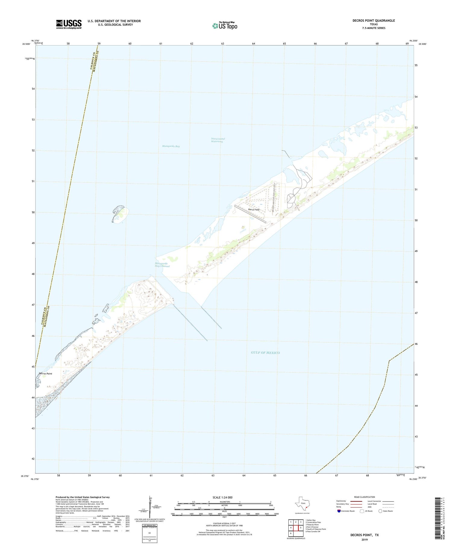
2019 topographic map quadrangle Decros Point in the state of Texas. Scale: 1:24000. Based on the newly updated USGS 7.5' US Topo map series, this map is in the following counties: Matagorda, Calhoun. The map contains contour data, water features, and other items you are used to seeing on USGS maps, but also has updated roads and other features. This is the next generation of topographic maps. Printed on high-quality waterproof paper with UV fade-resistant inks.
Quads adjacent to this one:
Northwest: Keller Bay
North: Carancahua Pass
Northeast: Palacios Point
East: South of Palacios Point
Southwest: Pass Cavallo SW
Contains the following named places: Decros Point, Matagorda Club, Matagorda Ship Channel, Pierce Field


