MyTopo
Douro Texas US Topo Map
Couldn't load pickup availability
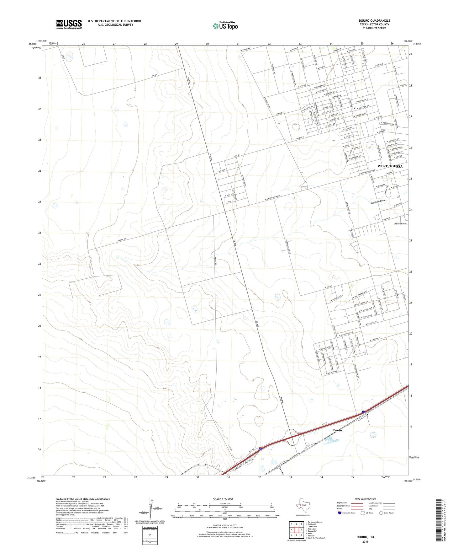
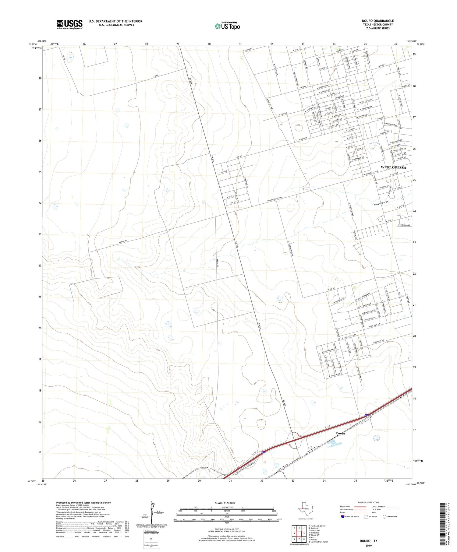
2019 topographic map quadrangle Douro in the state of Texas. Scale: 1:24000. Based on the newly updated USGS 7.5' US Topo map series, this map is in the following counties: Ector. The map contains contour data, water features, and other items you are used to seeing on USGS maps, but also has updated roads and other features. This is the next generation of topographic maps. Printed on high-quality waterproof paper with UV fade-resistant inks.
Quads adjacent to this one:
West: Red Lakes
Northwest: Turnbaugh Corner
North: Goldsmith
Northeast: Odessa NW
East: Odessa SW
Southeast: Clark Brothers Ranch
South: Penwell
Southwest: Metz
Contains the following named places: Buchanan Well, Douro, East Buchanan Well, Ector County, Four Section Well, Harper Oil Field, KGEE-FM (Monahans), KMRK-FM (Odessa), KOSA-TV (Odessa), Moss Oil Field, Murry Fly Elementary School, Old Buchanan Ranch, Old Johnson Well, West Buchanan Well, West Odessa Census Designated Place, West Odessa-Goldsmith Division, Westlake Park, ZIP Code: 79764