
MyTopo
Dozier Texas US Topo Map
Couldn't load pickup availability
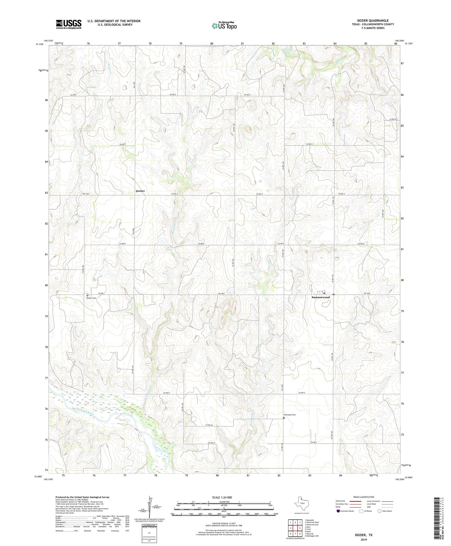
2019 topographic map quadrangle Dozier in the state of Texas. Scale: 1:24000. Based on the newly updated USGS 7.5' US Topo map series, this map is in the following counties: Collingsworth. The map contains contour data, water features, and other items you are used to seeing on USGS maps, but also has updated roads and other features. This is the next generation of topographic maps. Printed on high-quality waterproof paper with UV fade-resistant inks.
Quads adjacent to this one:
West: Abra
Northwest: Ramsdell
North: Shamrock West
Northeast: Shamrock East
East: Lutie
Southeast: Wellington NW
South: Rolla NE
Southwest: Quail
Contains the following named places: Dozier, Dozier Cemetery, Dozier Creek, Elm Creek Springs, Plymouth Cemetery, Sam Norwood Volunteer Fire Department, Samnorwood, Samnorwood Census Designated Place, Samnorwood Post Office


