MyTopo
Eagle Pass West Texas US Topo Map
Couldn't load pickup availability
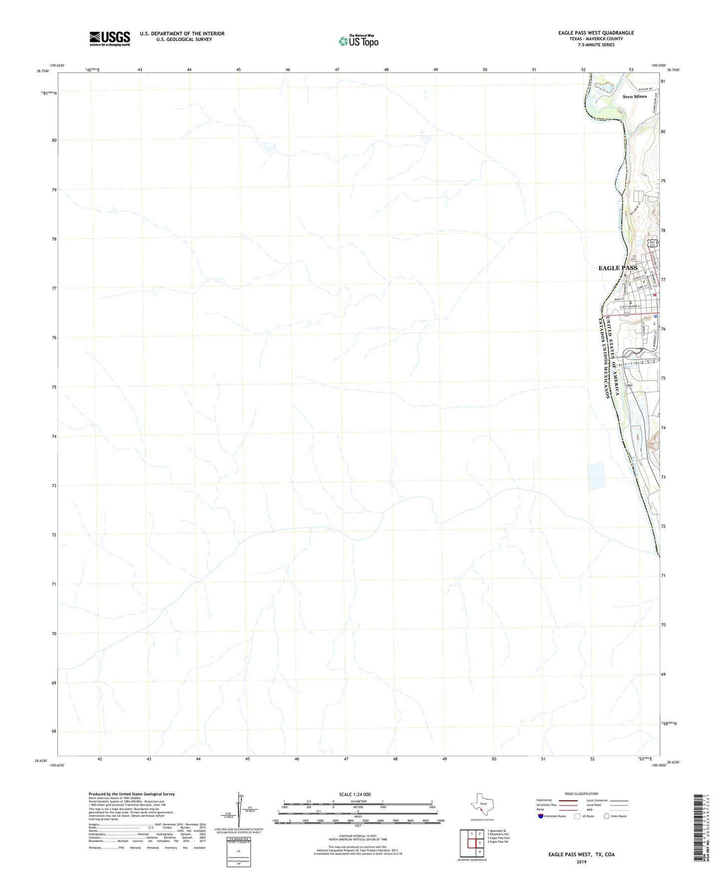
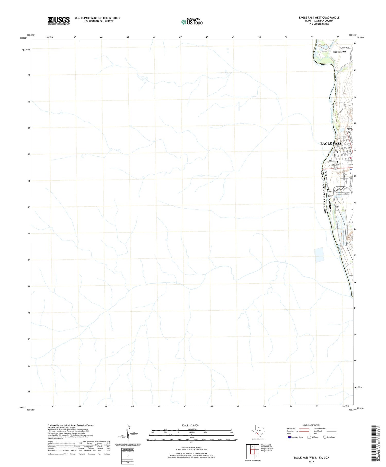
2019 topographic map quadrangle Eagle Pass West in the state of Texas. Scale: 1:24000. Based on the newly updated USGS 7.5' US Topo map series, this map is in the following counties: Maverick. The map contains contour data, water features, and other items you are used to seeing on USGS maps, but also has updated roads and other features. This is the next generation of topographic maps. Printed on high-quality waterproof paper with UV fade-resistant inks.
Quads adjacent to this one:
North: Quemado SE
Northeast: Deadmans Hill
East: Eagle Pass East
Southeast: Eagle Pass SW
Contains the following named places: Austin Elementary School, De Luna Education Center, Eagle Pass City Hall, Eagle Pass Fire Department Charles P Rodrigues Station 1, Eagle Pass Independent School District Police Department, Eagle Pass Police Department, Elm Creek, Episcopal Church of the Redeemer, F Ritche, First Baptist Church, Fort Duncan Park, J Ritche, Lee Elementary School, Maverick County Constable's Office Precinct 2, Maverick County Courthouse, P DeBonner, Seco Creek, Seco Mines Census Designated Place