MyTopo
Elbow Lake Texas US Topo Map
Couldn't load pickup availability
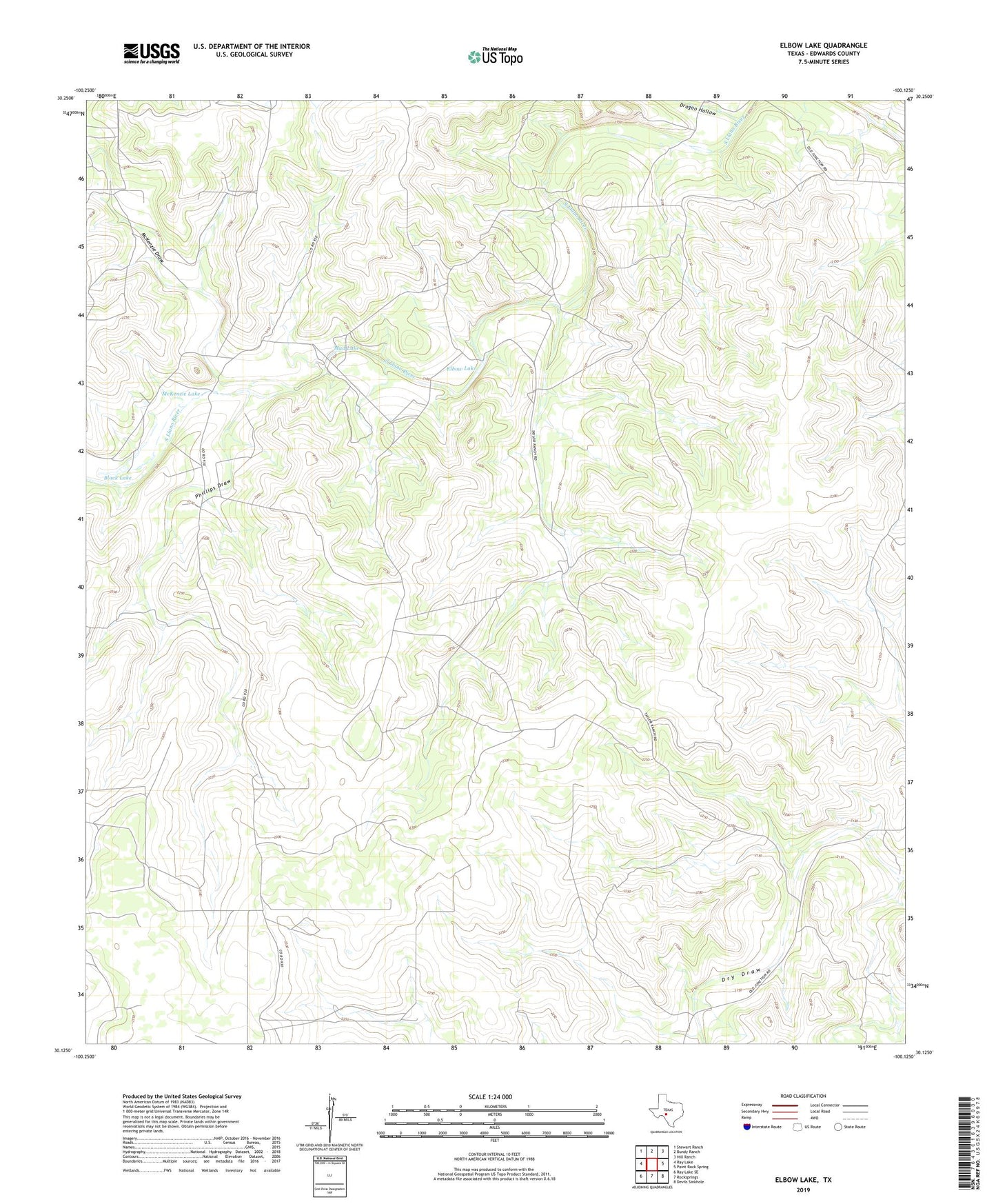
2019 topographic map quadrangle Elbow Lake in the state of Texas. Scale: 1:24000. Based on the newly updated USGS 7.5' US Topo map series, this map is in the following counties: Edwards. The map contains contour data, water features, and other items you are used to seeing on USGS maps, but also has updated roads and other features. This is the next generation of topographic maps. Printed on high-quality waterproof paper with UV fade-resistant inks.
Quads adjacent to this one:
West: Ray Lake
Northwest: Stewart Ranch
North: Bundy Ranch
Northeast: Hill Ranch
East: Paint Rock Spring
Southeast: Devils Sinkhole
South: Rocksprings
Southwest: Ray Lake SE
Contains the following named places: Black Lake, Dragoo Hollow, Elbow Lake, McKenzie Draw, McKenzie Lake, Mud Lake, Phillips Draw, Taylor Ranch