MyTopo
Eldorado Texas US Topo Map
Couldn't load pickup availability
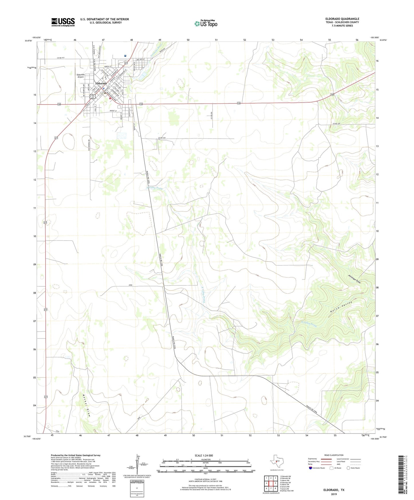
2019 topographic map quadrangle Eldorado in the state of Texas. Scale: 1:24000. Based on the newly updated USGS 7.5' US Topo map series, this map is in the following counties: Schleicher. The map contains contour data, water features, and other items you are used to seeing on USGS maps, but also has updated roads and other features. This is the next generation of topographic maps. Printed on high-quality waterproof paper with UV fade-resistant inks.
Quads adjacent to this one:
West: Eldorado SW
Northwest: Eldorado NW
North: Eldorado NE
Northeast: Adams NW
East: Adams SW
Southeast: Buffalo Well NW
South: Sonora NE
Southwest: Sonora NW
Contains the following named places: Antelope Draw, Christian Ranch Airport, City of Eldorado, Courthouse Square Park, Eldorado, Eldorado Airport, Eldorado City Hall, Eldorado Elementary School, Eldorado High School, Eldorado Post Office, Eldorado Volunteer Fire Department, Schleicher County Jail, Schleicher County Medical Center, Schleicher County Sheriff's Office, Schleicher County Volunteer Emergency Medical Service