MyTopo
Flat Rock Creek SW Texas US Topo Map
Couldn't load pickup availability
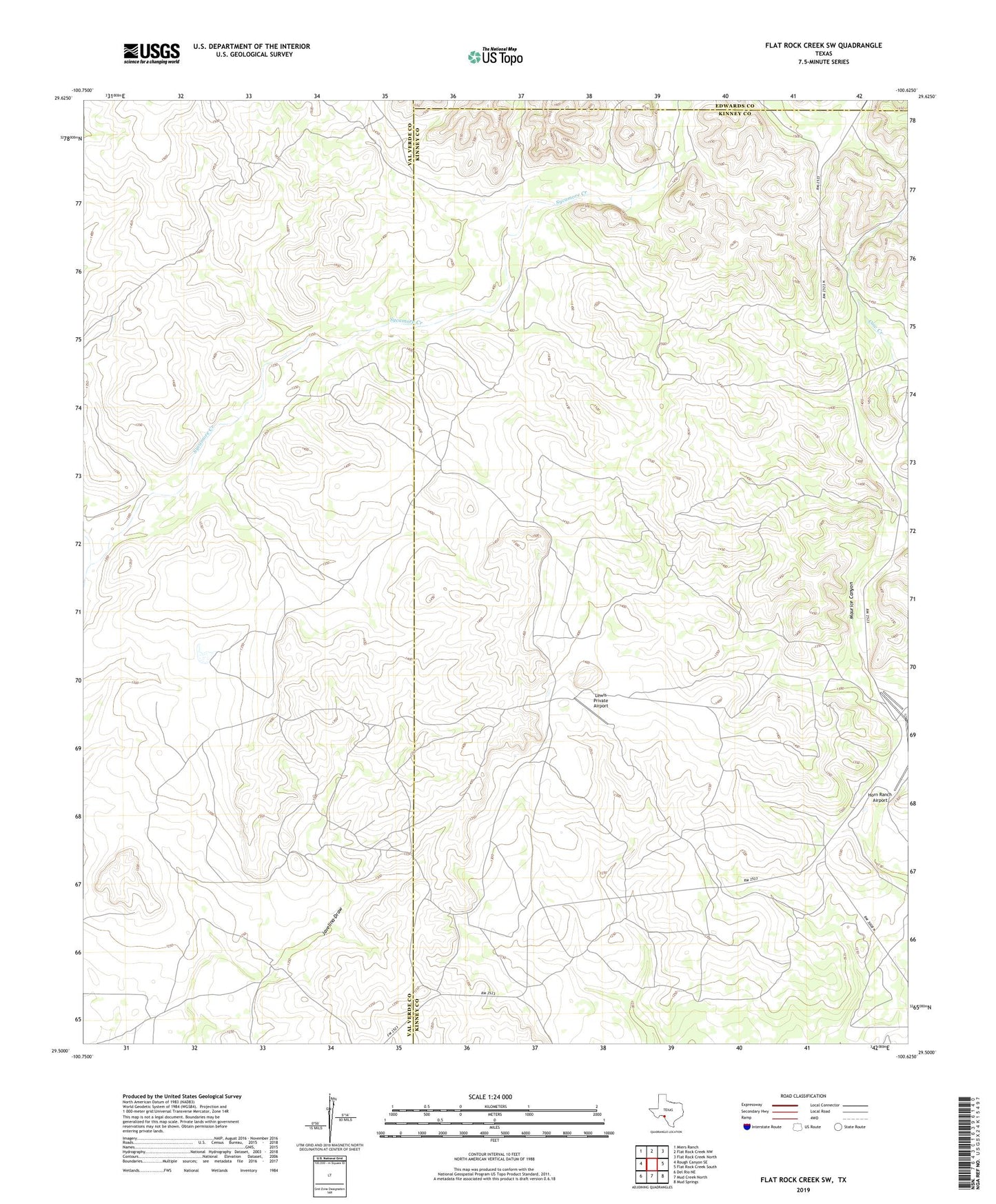
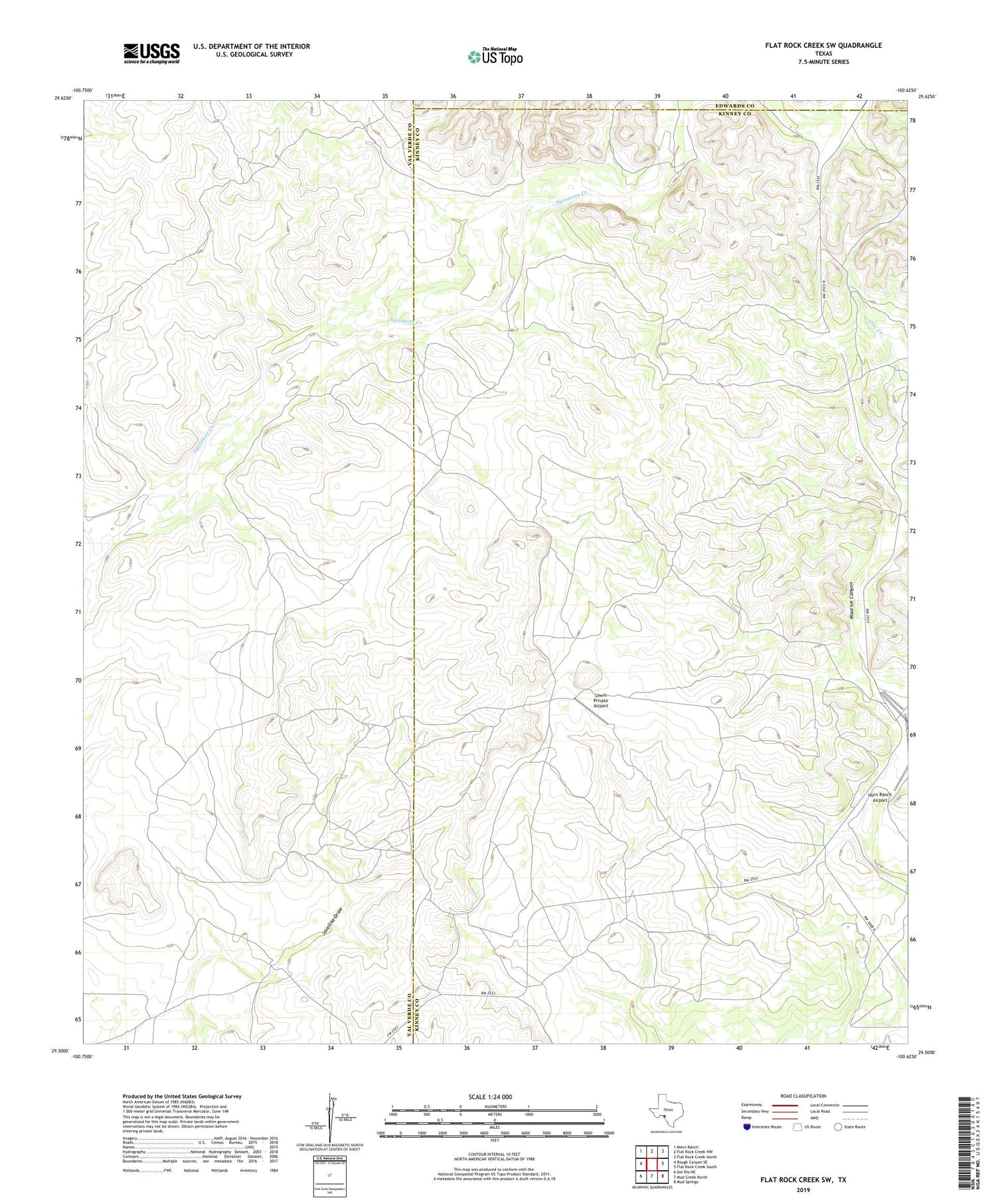
2019 topographic map quadrangle Flat Rock Creek SW in the state of Texas. Scale: 1:24000. Based on the newly updated USGS 7.5' US Topo map series, this map is in the following counties: Kinney, Val Verde, Edwards. The map contains contour data, water features, and other items you are used to seeing on USGS maps, but also has updated roads and other features. This is the next generation of topographic maps. Printed on high-quality waterproof paper with UV fade-resistant inks.
Quads adjacent to this one:
West: Rough Canyon SE
Northwest: Miers Ranch
North: Flat Rock Creek NW
Northeast: Flat Rock Creek North
East: Flat Rock Creek South
Southeast: Mud Springs
South: Mud Creek North
Southwest: Del Rio NE
Contains the following named places: Cow Creek, Lewis Private Airport, West Fork Sycamore Creek