MyTopo
Halsell Ranch Texas US Topo Map
Couldn't load pickup availability
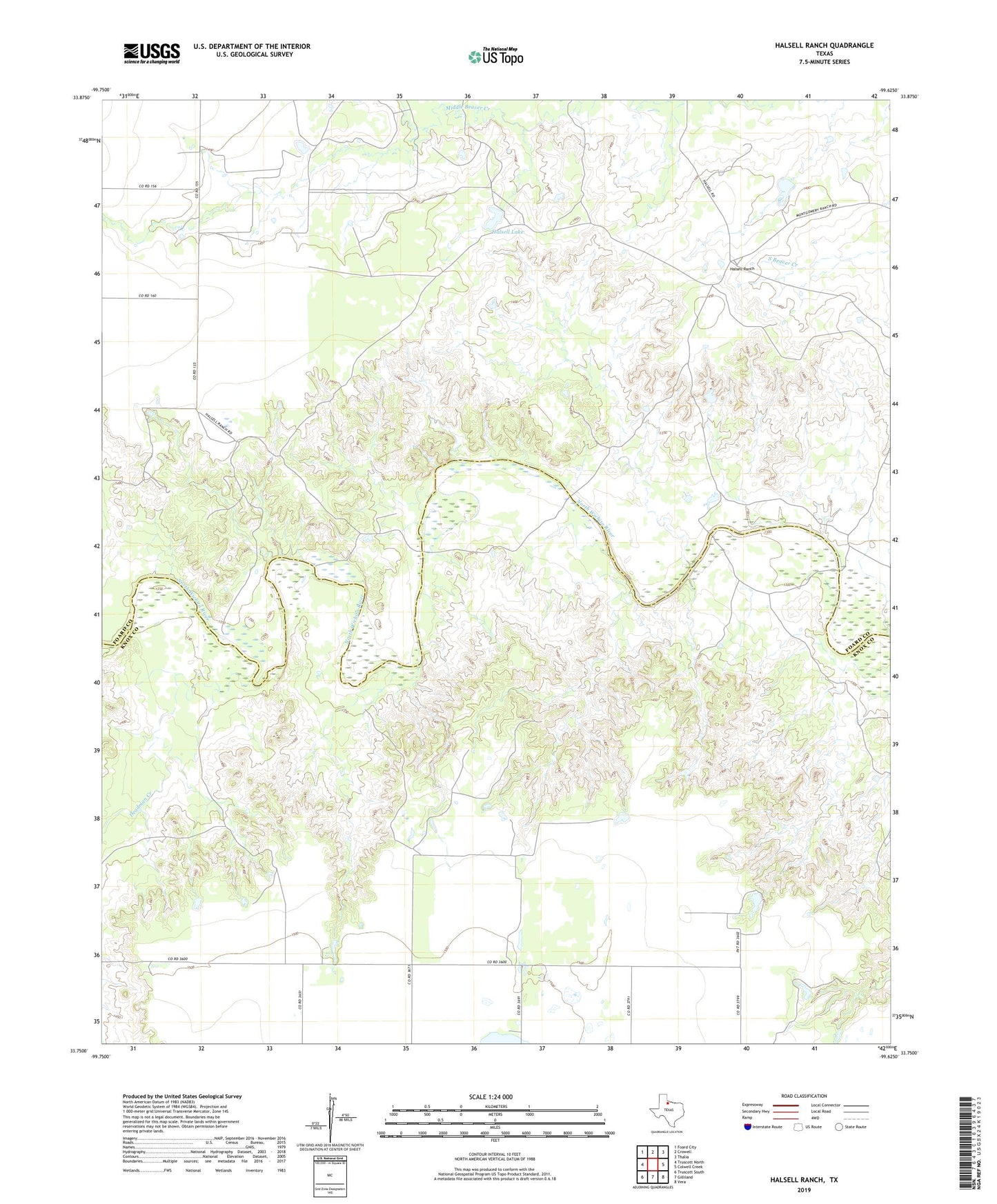
2019 topographic map quadrangle Halsell Ranch in the state of Texas. Scale: 1:24000. Based on the newly updated USGS 7.5' US Topo map series, this map is in the following counties: Foard, Knox. The map contains contour data, water features, and other items you are used to seeing on USGS maps, but also has updated roads and other features. This is the next generation of topographic maps. Printed on high-quality waterproof paper with UV fade-resistant inks.
Quads adjacent to this one:
West: Truscott North
Northwest: Foard City
North: Crowell
Northeast: Thalia
East: Colwell Creek
Southeast: Vera
South: Gilliland
Southwest: Truscott South
Contains the following named places: Deadman Creek, Deadman Windmill, Ellis Ranch, Halsell Lake, Halsell Lake Dam, Halsell Ranch, West Camp, West End Windmill