MyTopo
Hanks Ranch Texas US Topo Map
Couldn't load pickup availability
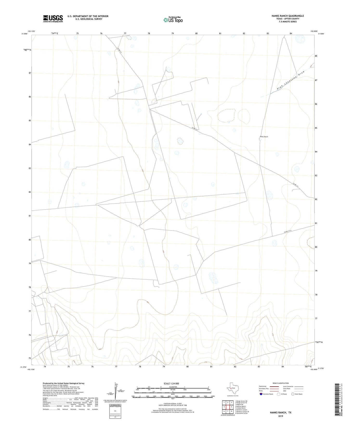
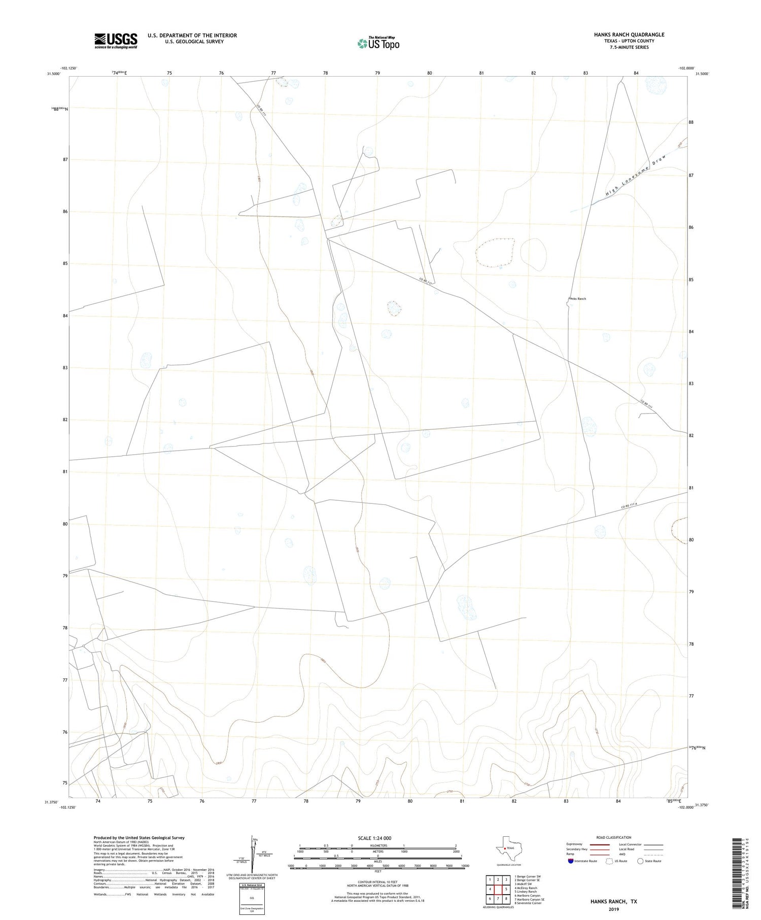
2019 topographic map quadrangle Hanks Ranch in the state of Texas. Scale: 1:24000. Based on the newly updated USGS 7.5' US Topo map series, this map is in the following counties: Upton. The map contains contour data, water features, and other items you are used to seeing on USGS maps, but also has updated roads and other features. This is the next generation of topographic maps. Printed on high-quality waterproof paper with UV fade-resistant inks.
Quads adjacent to this one:
West: McElroy Ranch
Northwest: Benge Corner SW
North: Benge Corner SE
Northeast: Midkiff SW
East: Lindsey Ranch
Southeast: Sevenmile Corner
South: Marlboro Canyon SE
Southwest: Marlboro Canyon
Contains the following named places: Hanks Ranch, Hazel Oil Field, Jack Herbert Oil Field, Jarboe Windmill, Middle Underwood Windmill, Triangle Windmill