MyTopo
Hess Canyon Texas US Topo Map
Couldn't load pickup availability
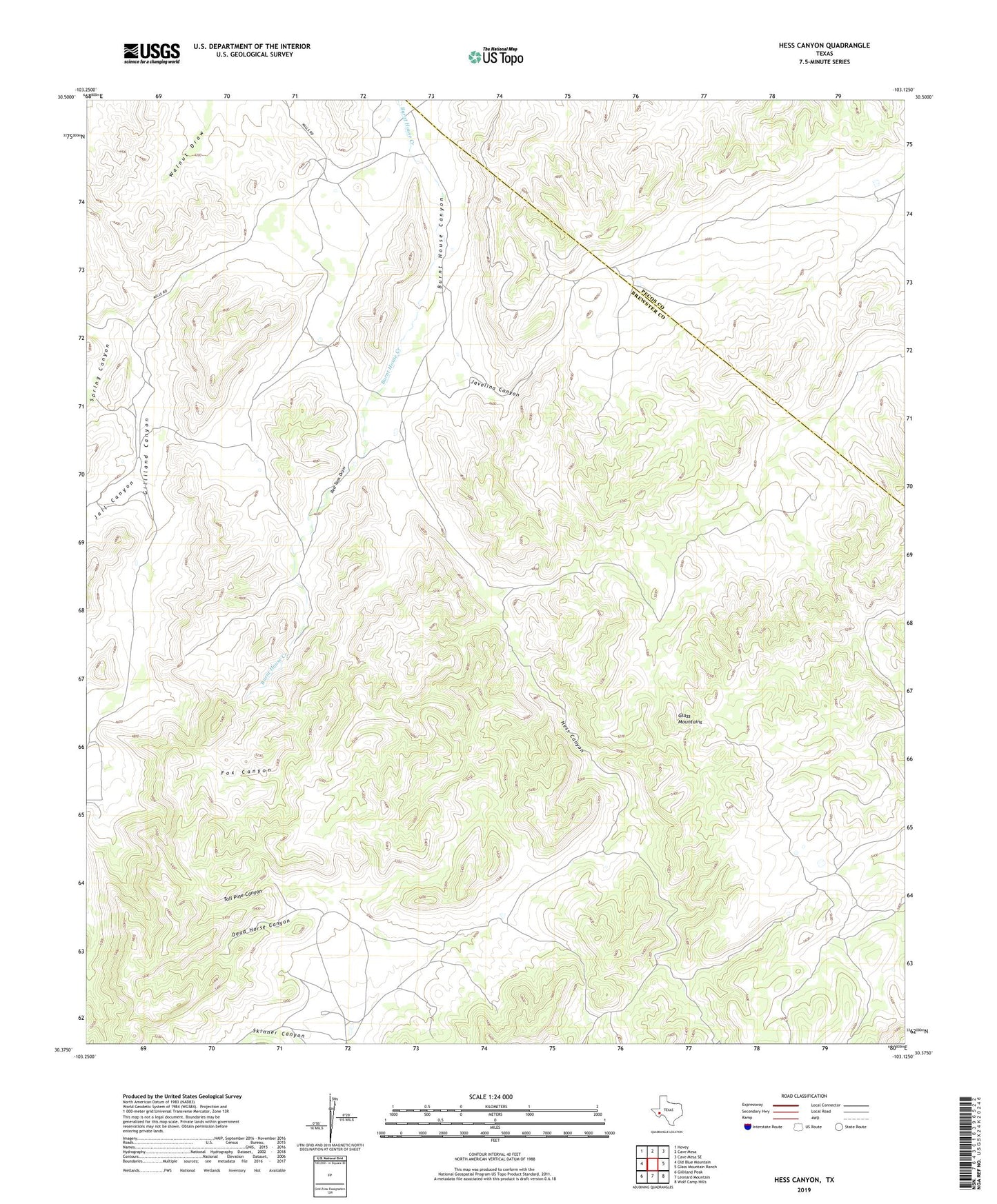
2019 topographic map quadrangle Hess Canyon in the state of Texas. Scale: 1:24000. Based on the newly updated USGS 7.5' US Topo map series, this map is in the following counties: Brewster, Pecos. The map contains contour data, water features, and other items you are used to seeing on USGS maps, but also has updated roads and other features. This is the next generation of topographic maps. Printed on high-quality waterproof paper with UV fade-resistant inks.
Quads adjacent to this one:
West: Old Blue Mountain
Northwest: Hovey
North: Cave Mesa
Northeast: Cave Mesa SE
East: Glass Mountain Ranch
Southeast: Wolf Camp Hills
South: Leonard Mountain
Southwest: Gilliland Peak
Contains the following named places: Dead Horse Canyon, Fox Canyon, Hess Canyon, Jail Canyon, Javelina Canyon, Old Oscar Nance Place, Old Parker Place, Old Word Ranch, Red Tank Draw, Spring Canyon, Tall Pine Canyon, Willis Ranch