MyTopo
Lake Fryer NE Texas US Topo Map
Couldn't load pickup availability
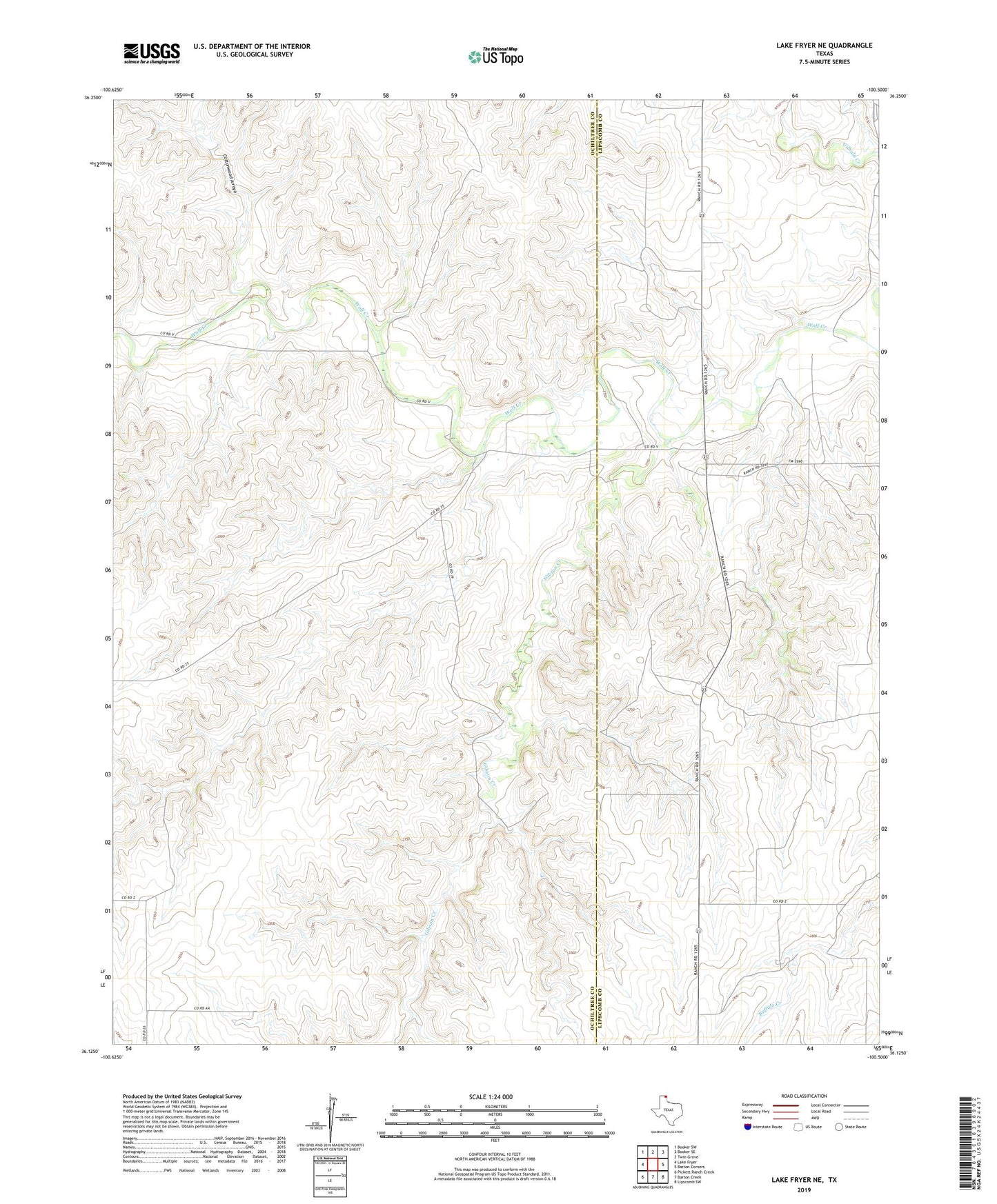
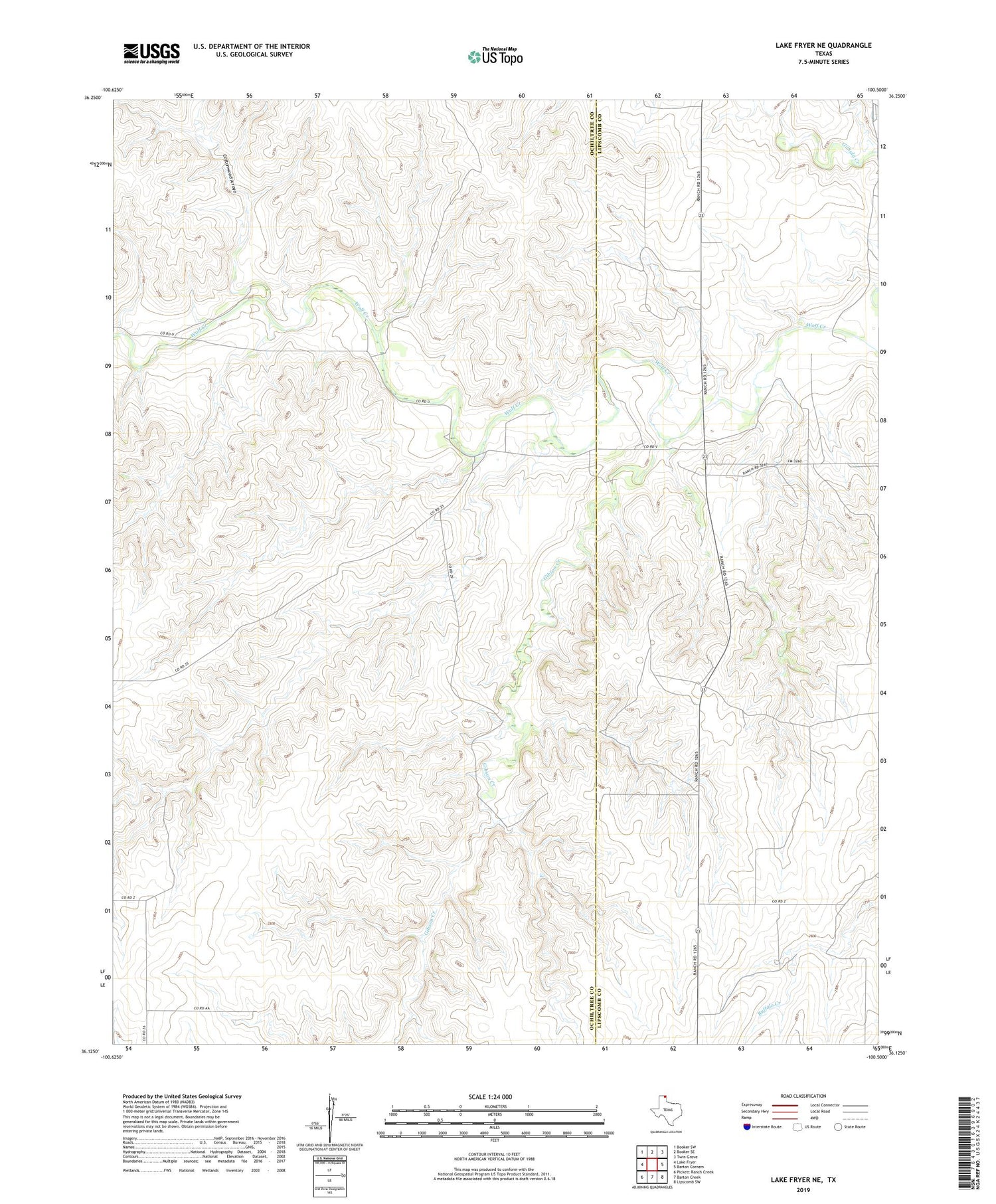
2019 topographic map quadrangle Lake Fryer NE in the state of Texas. Scale: 1:24000. Based on the newly updated USGS 7.5' US Topo map series, this map is in the following counties: Ochiltree, Lipscomb. The map contains contour data, water features, and other items you are used to seeing on USGS maps, but also has updated roads and other features. This is the next generation of topographic maps. Printed on high-quality waterproof paper with UV fade-resistant inks.
Quads adjacent to this one:
West: Lake Fryer
Northwest: Booker SW
North: Booker SE
Northeast: Twin Grove
East: Barton Corners
Southeast: Lipscomb SW
South: Barton Creek
Southwest: Pickett Ranch Creek
Contains the following named places: Cottonwood Arroyo, Gibson Creek