MyTopo
Landrum Tank Texas US Topo Map
Couldn't load pickup availability
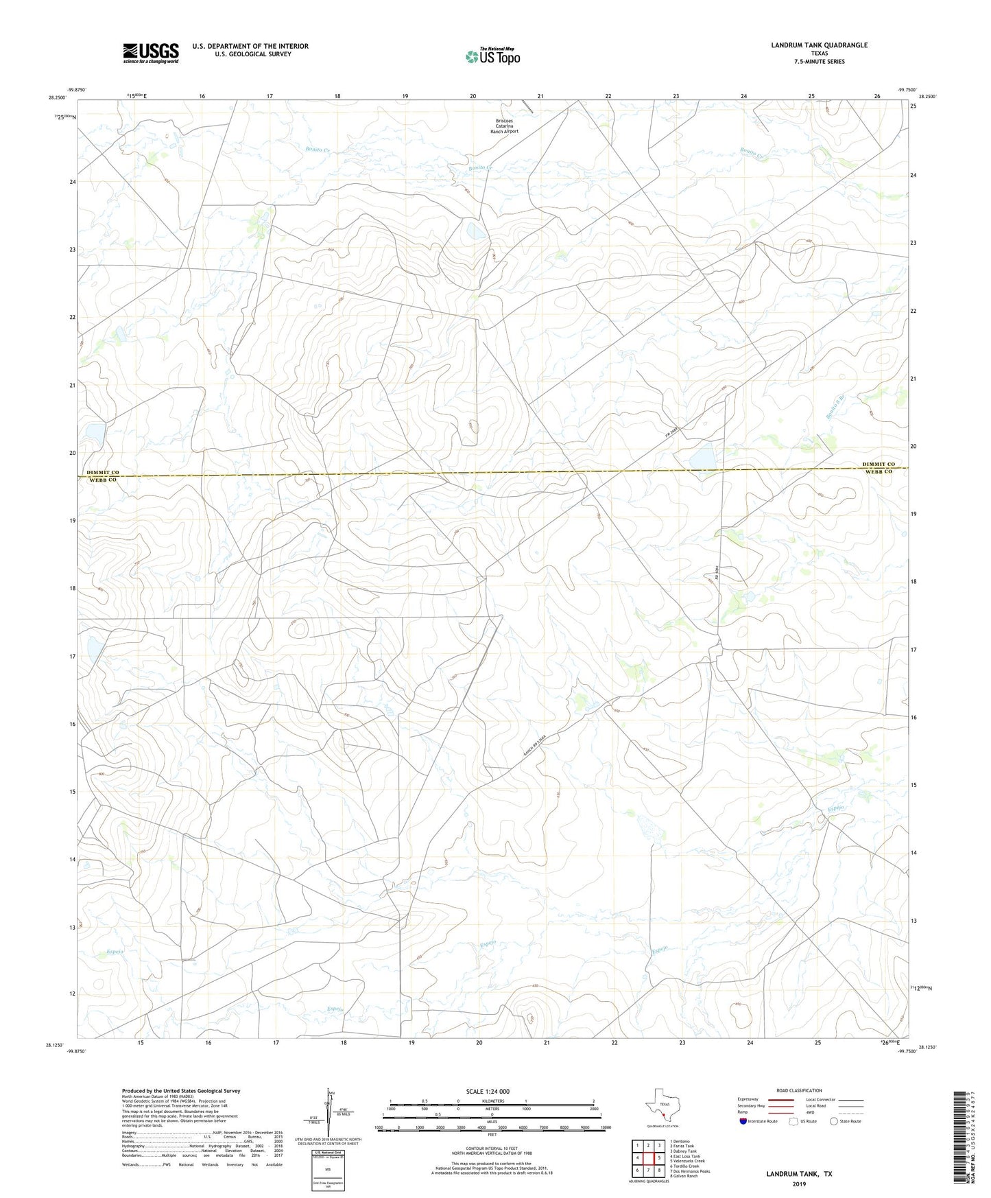
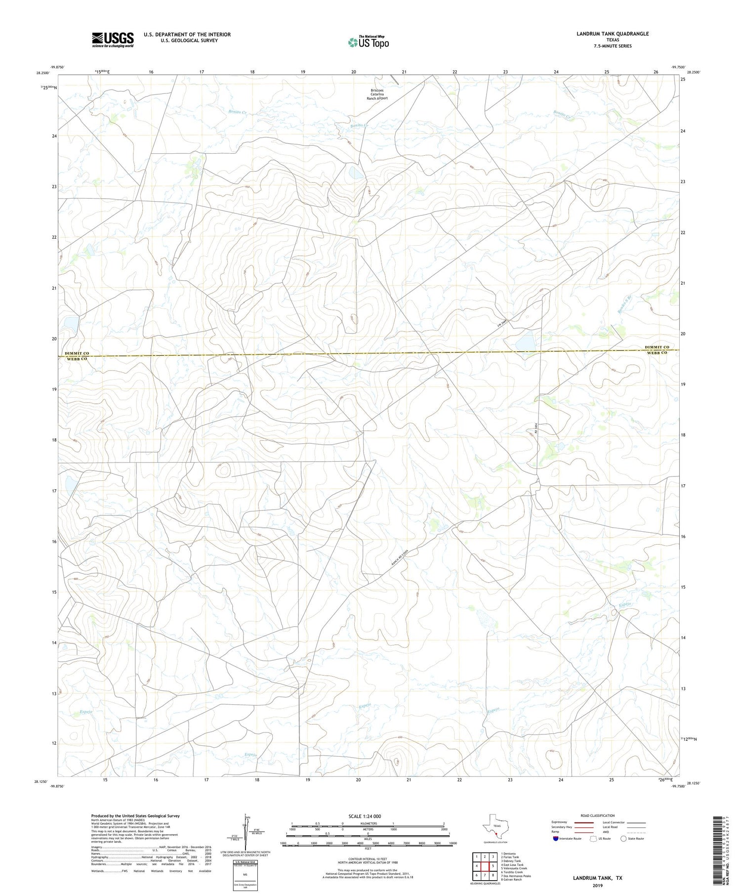
2019 topographic map quadrangle Landrum Tank in the state of Texas. Scale: 1:24000. Based on the newly updated USGS 7.5' US Topo map series, this map is in the following counties: Webb, Dimmit. The map contains contour data, water features, and other items you are used to seeing on USGS maps, but also has updated roads and other features. This is the next generation of topographic maps. Printed on high-quality waterproof paper with UV fade-resistant inks.
Quads adjacent to this one:
West: East Losa Tank
Northwest: Dentonio
North: Farias Tank
Northeast: Dabney Tank
East: Velenzuela Creek
Southeast: Galvan Ranch
South: Dos Hermanos Peaks
Southwest: Tordillo Creek
Contains the following named places: Brown Ranch, Dolph Briscoe Lake Number 6, Dolph Briscoe Lake Number 6 Dam, Dolph Briscoe Lake Number 7, Dolph Briscoe Lake Number 7 Dam, Espejo Ranch, Gates Lake, Gates Lake Dam, Gates Lake Number 1, Gates Lake Number 1 Dam