MyTopo
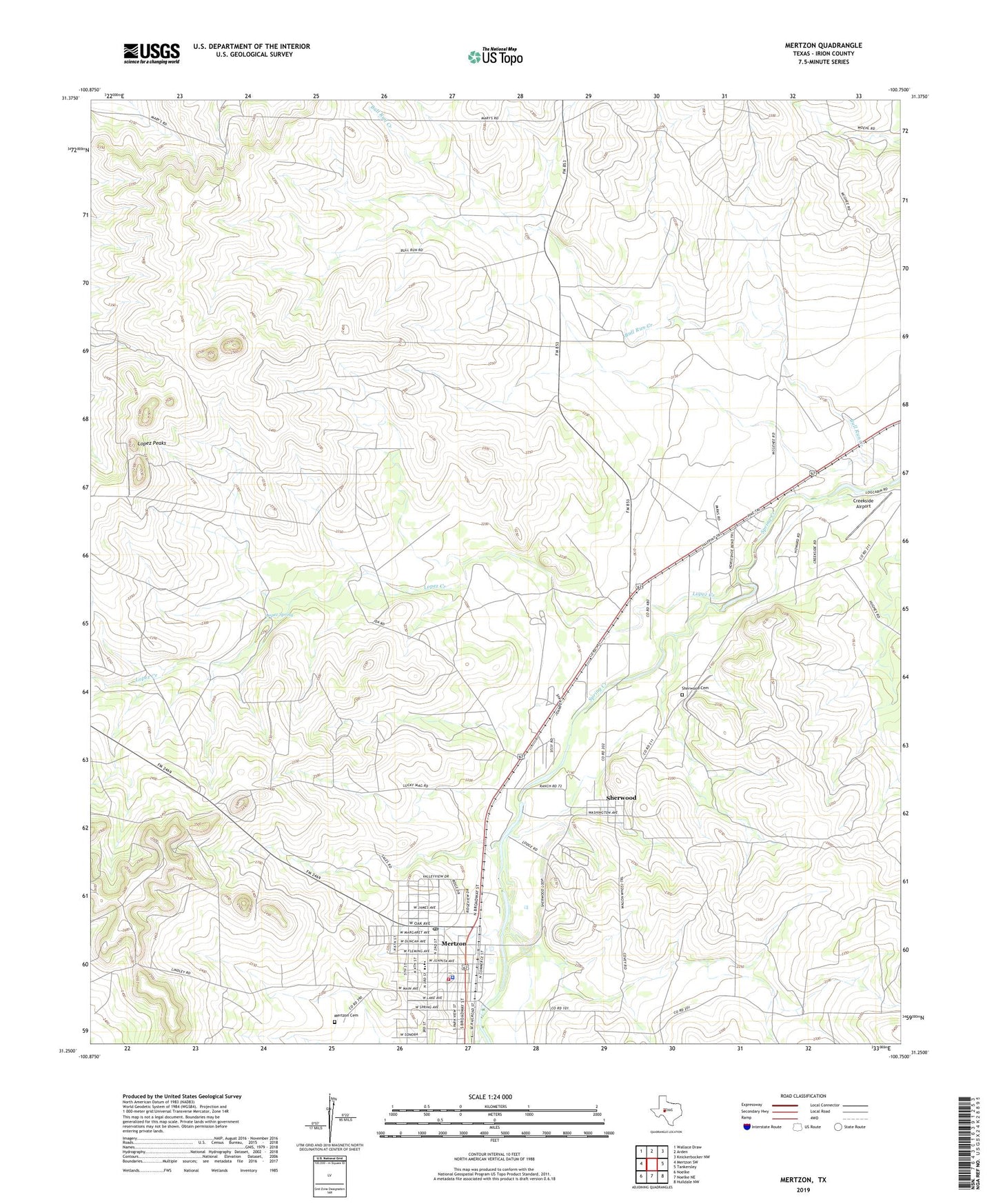
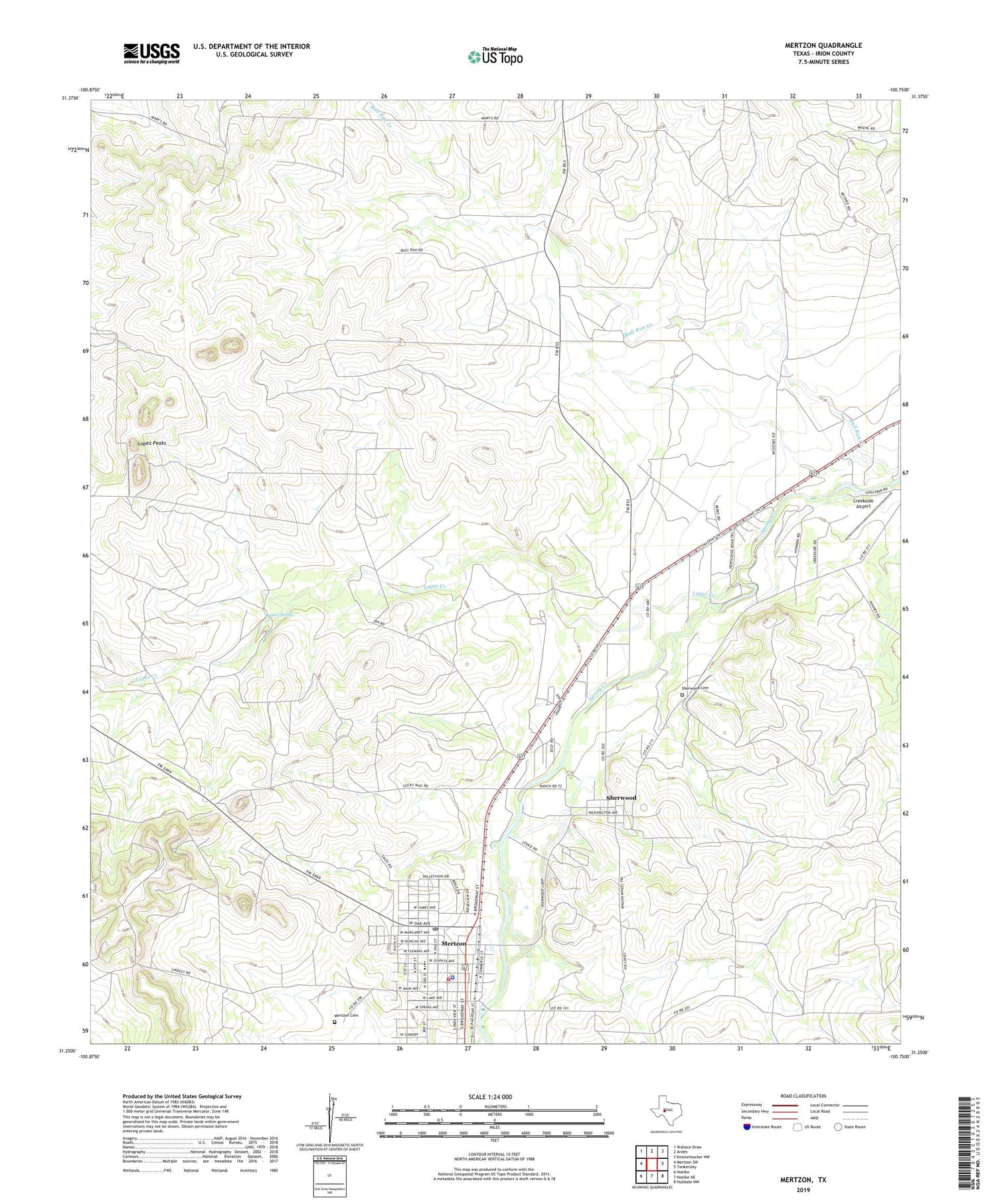
Mertzon Texas US Topo Map
Couldn't load pickup availability
2019 topographic map quadrangle Mertzon in the state of Texas. Scale: 1:24000. Based on the newly updated USGS 7.5' US Topo map series, this map is in the following counties: Irion. The map contains contour data, water features, and other items you are used to seeing on USGS maps, but also has updated roads and other features. This is the next generation of topographic maps. Printed on high-quality waterproof paper with UV fade-resistant inks.
Quads adjacent to this one:
West: Mertzon SW
Northwest: Wallace Draw
North: Arden
Northeast: Knickerbocker NW
East: Tankersley
Southeast: Hulldale NW
South: Noelke NE
Southwest: Noelke
Contains the following named places: City of Mertzon, Creekside Airport, Irion County Elementary School, Irion County Emergency Medical Service, Irion County High School, Irion County Museum, Irion County Sheriff's Office, Irion County Volunteer Fire Department, Lopez Creek, Lopez Peaks, Lopez Spring, Mertzon, Mertzon Cemetery, Mertzon City Hall, Mertzon Post Office, Old Irion County Courthouse, Sherwood, Sherwood Cemetery