MyTopo
Mesteno Creek North Texas US Topo Map
Couldn't load pickup availability
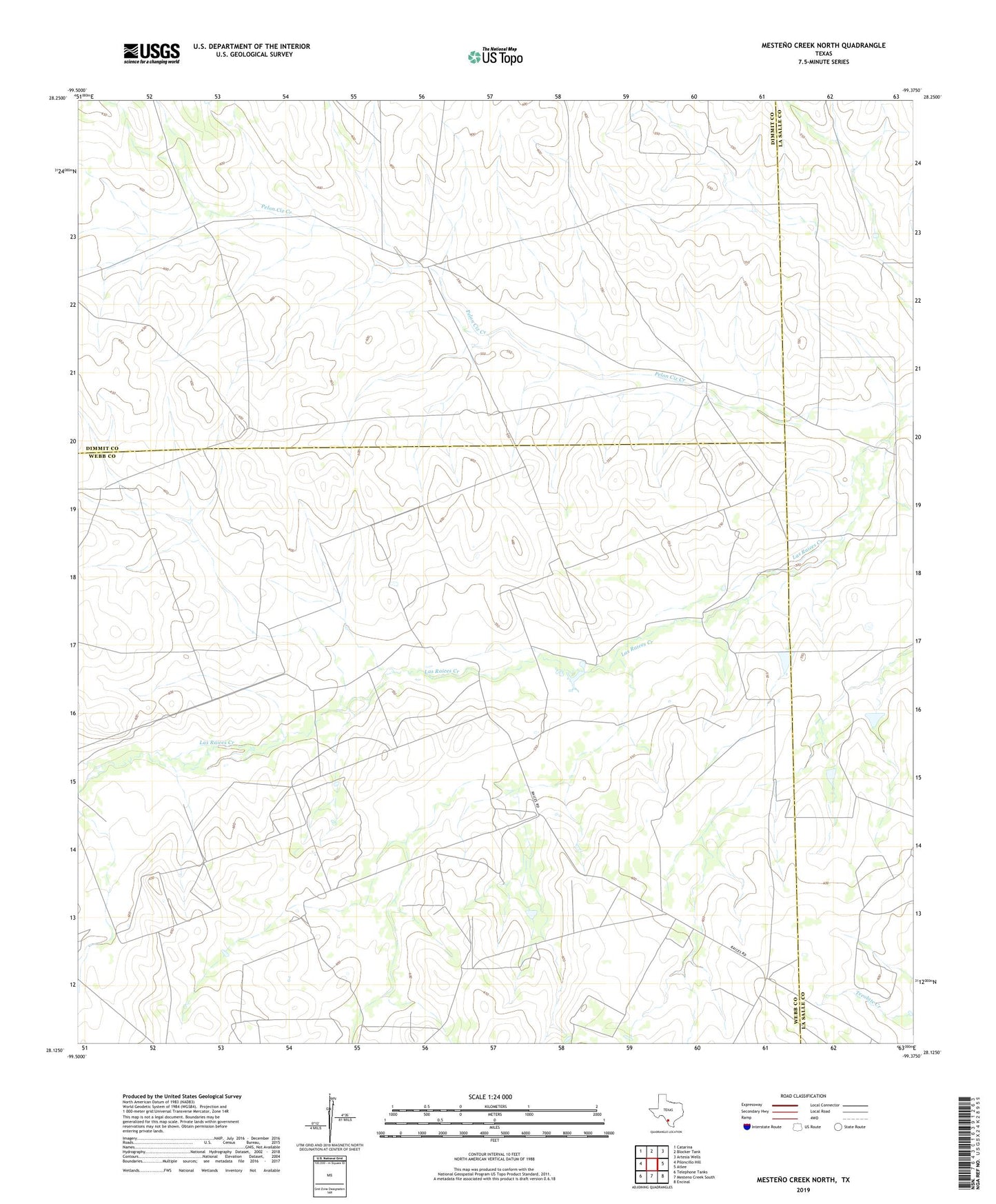
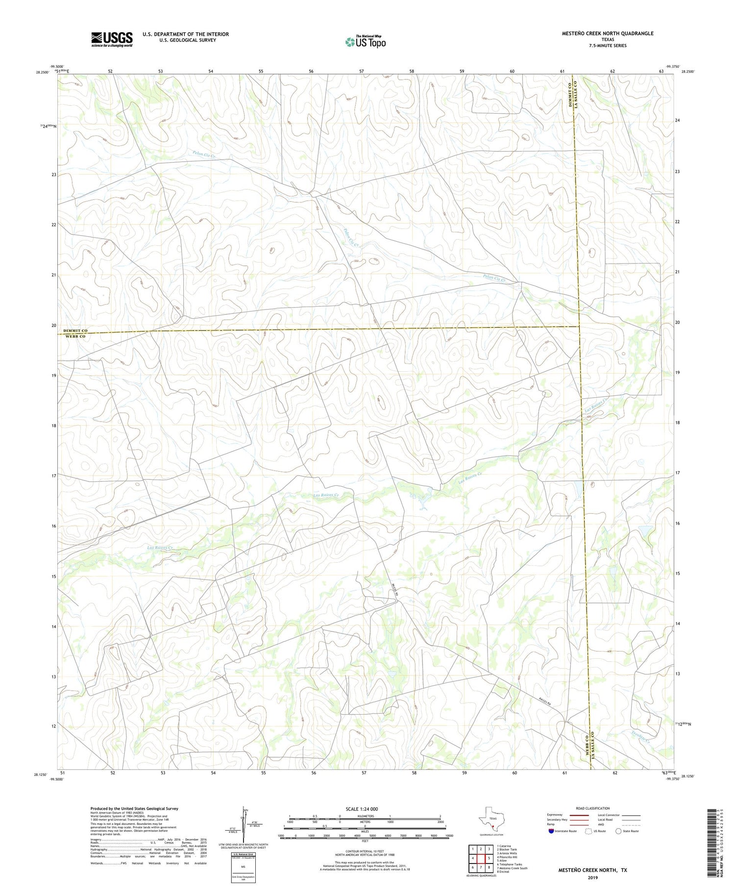
2019 topographic map quadrangle Mesteno Creek North in the state of Texas. Scale: 1:24000. Based on the newly updated USGS 7.5' US Topo map series, this map is in the following counties: Webb, Dimmit, La Salle. The map contains contour data, water features, and other items you are used to seeing on USGS maps, but also has updated roads and other features. This is the next generation of topographic maps. Printed on high-quality waterproof paper with UV fade-resistant inks.
Quads adjacent to this one:
West: Piloncillo Hill
Northwest: Catarina
North: Blocker Tank
Northeast: Artesia Wells
East: Atlee
Southeast: Encinal
South: Mesteno Creek South
Southwest: Telephone Tanks
Contains the following named places: H Garcia, J Rector, James Carr, Mrs Brown, R J Wellhausen