MyTopo
Morse Texas US Topo Map
Couldn't load pickup availability
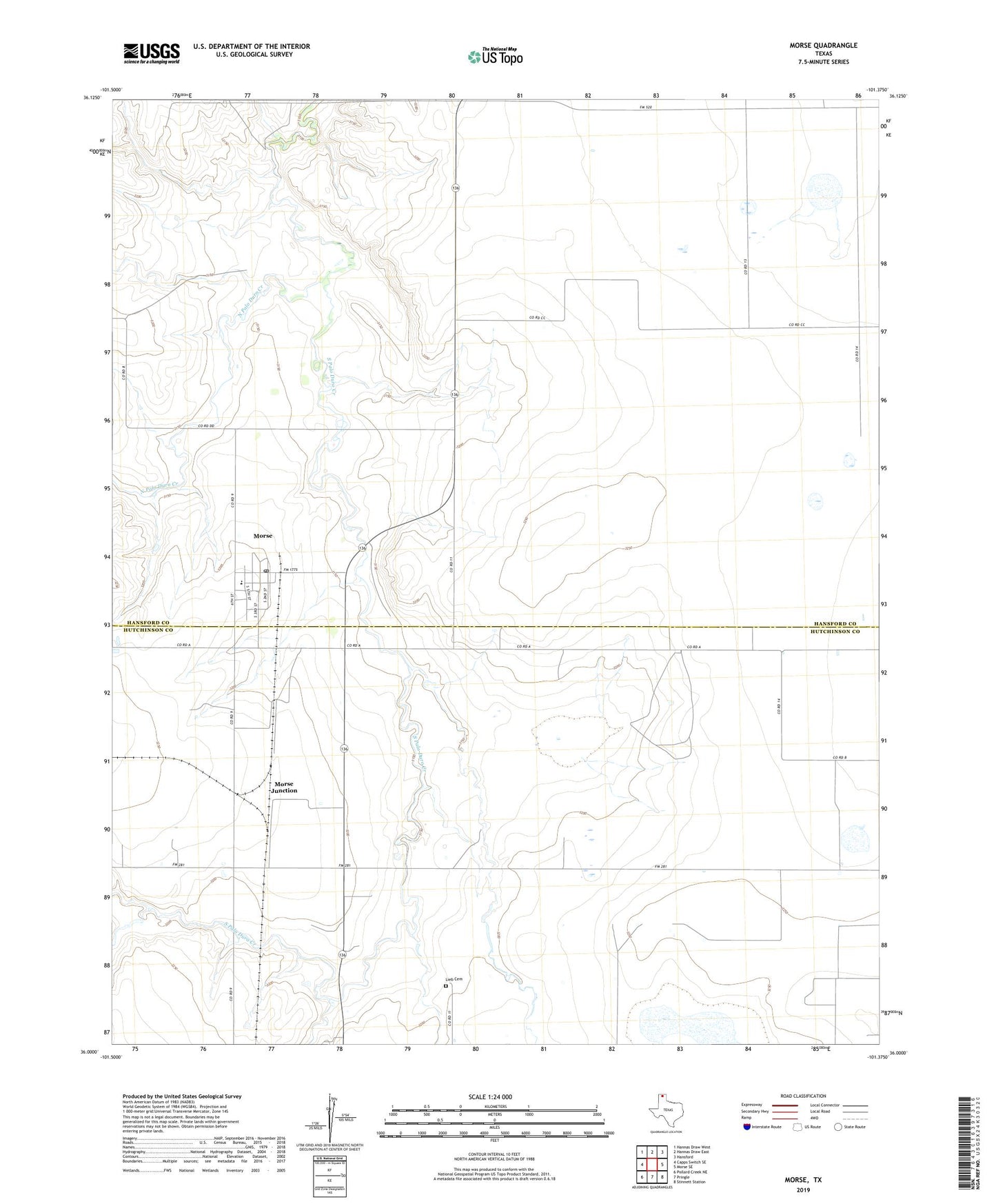
2019 topographic map quadrangle Morse in the state of Texas. Scale: 1:24000. Based on the newly updated USGS 7.5' US Topo map series, this map is in the following counties: Hansford, Hutchinson. The map contains contour data, water features, and other items you are used to seeing on USGS maps, but also has updated roads and other features. This is the next generation of topographic maps. Printed on high-quality waterproof paper with UV fade-resistant inks.
Quads adjacent to this one:
West: Capps Switch SE
Northwest: Hannas Draw West
North: Hannas Draw East
Northeast: Hansford
East: Morse SE
Southeast: Stinnett Station
South: Pringle
Southwest: Pollard Creek NE
Contains the following named places: Lieb Cemetery, Morse, Morse Census Designated Place, Morse Junction, Morse Post Office, North Palo Duro Creek, South Palo Duro Creek