MyTopo
Mount Herman Texas US Topo Map
Couldn't load pickup availability
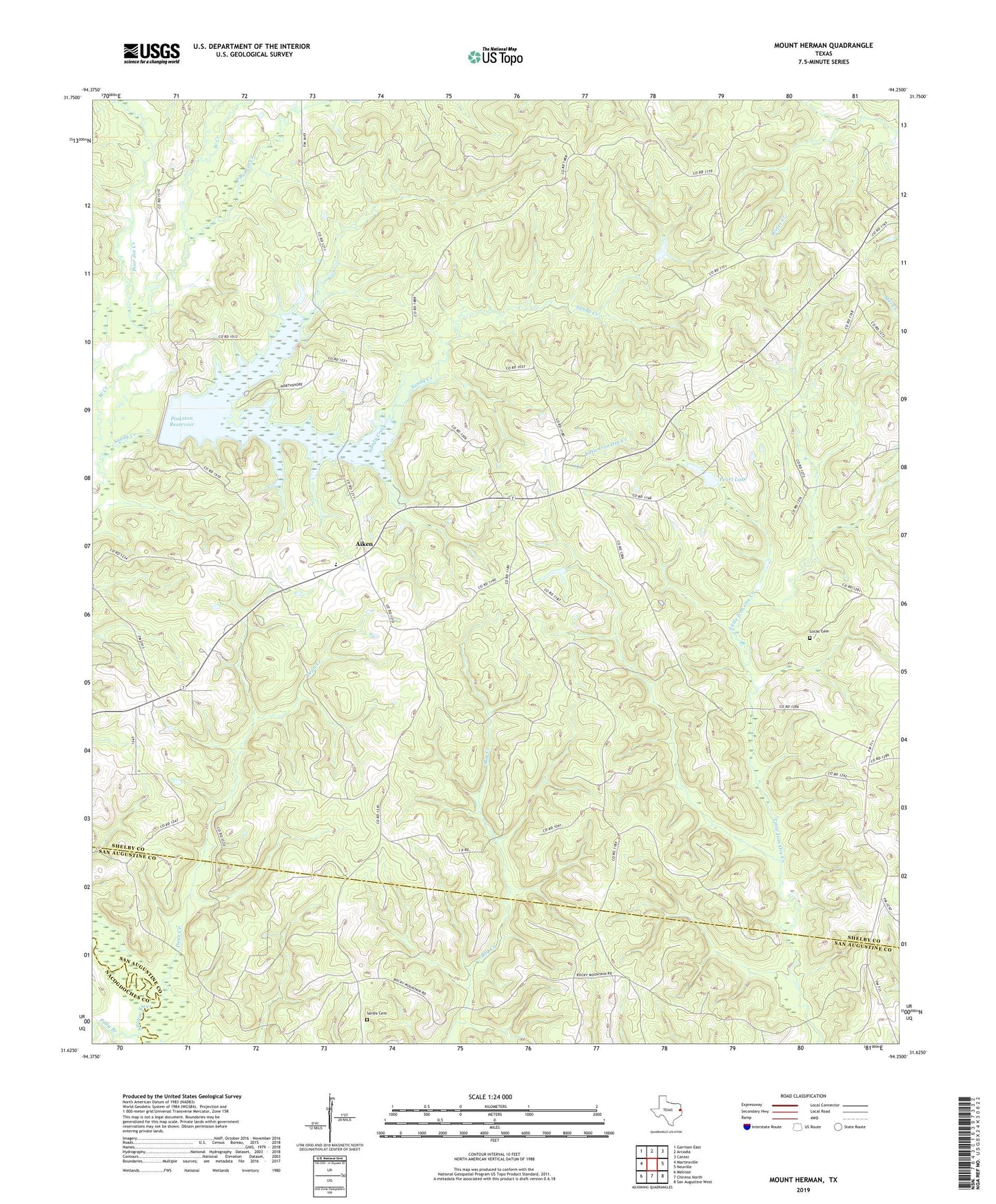
2019 topographic map quadrangle Mount Herman in the state of Texas. Scale: 1:24000. Based on the newly updated USGS 7.5' US Topo map series, this map is in the following counties: Shelby, San Augustine, Nacogdoches. The map contains contour data, water features, and other items you are used to seeing on USGS maps, but also has updated roads and other features. This is the next generation of topographic maps. Printed on high-quality waterproof paper with UV fade-resistant inks.
Quads adjacent to this one:
West: Martinsville
Northwest: Garrison East
North: Arcadia
Northeast: Center
East: Neuville
Southeast: San Augustine West
South: Chireno North
Southwest: Melrose
Contains the following named places: Aiken, Caney Creek, Dean Creek, Dry Creek, Excelsior School, Holmes Cemetery, Lucas Cemetery, Mount Herman, Naconiche Creek, Old Salem Church, Pearl Lake, Pinkston Dam, Pinkston Reservoir, Polly Branch, Poor Joe Creek, Pounds Creek, Powdrill Creek, Sardis Cemetery, White Rock Church