MyTopo
Mouth of Rio Grande Texas US Topo Map
Couldn't load pickup availability
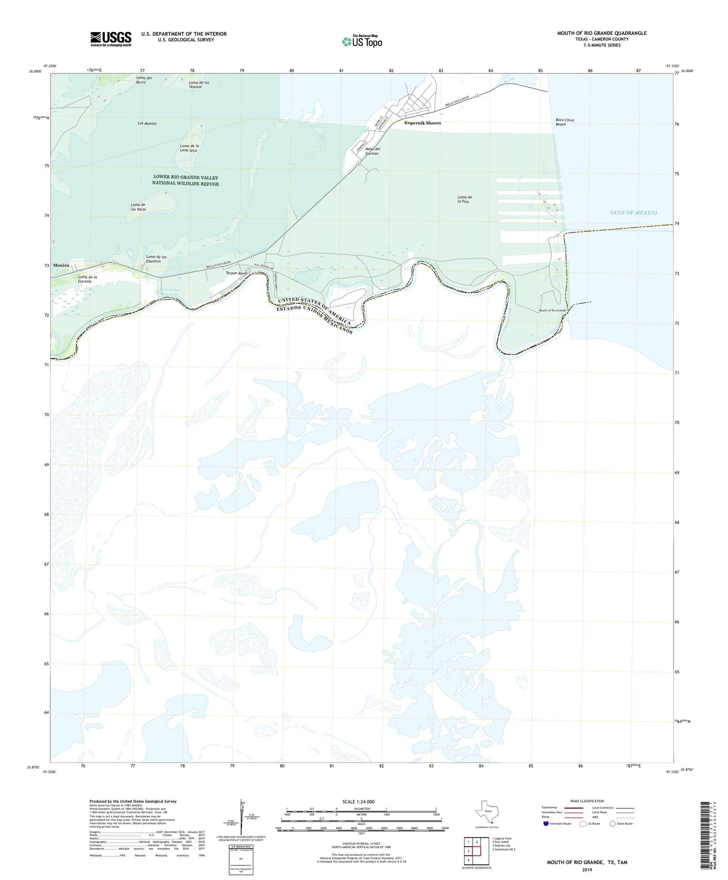
2019 topographic map quadrangle Mouth of Rio Grande in the state of Texas. Scale: 1:24000. Based on the newly updated USGS 7.5' US Topo map series, this map is in the following counties: Cameron. The map contains contour data, water features, and other items you are used to seeing on USGS maps, but also has updated roads and other features. This is the next generation of topographic maps. Printed on high-quality waterproof paper with UV fade-resistant inks.
Quads adjacent to this one:
West: Palmito Hill
Northwest: Laguna Vista
North: Port Isabel
Southwest: Southmost OE E
Contains the following named places: Boca Chica Beach, Clarksville, Kopernik Shores, Las Palomas Wildlife Management Area - Boca Chica Unit, Loma de la Estrella, Loma de la Lena Seca, Loma de la Pita, Loma de las Vacas, Loma de los Ebanitos, Lower Rio Grande Valley National Wildlife Refuge, Mesa del Gavilan, Monica, Mouth of Rio Grande, Port Isabel Reservoir, Rio Grande, Stell-Lind Banco Number 128, Tarpon Bend, Verdolaga Lake