MyTopo
New Willard Texas US Topo Map
Couldn't load pickup availability
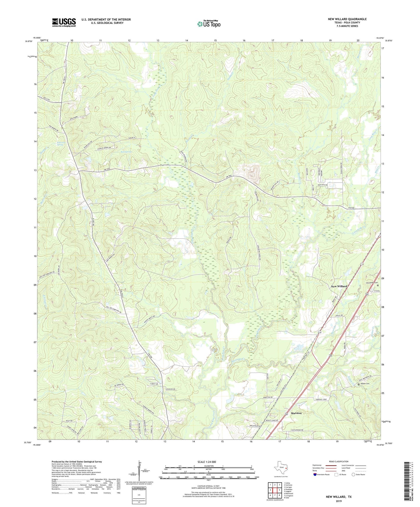
2019 topographic map quadrangle New Willard in the state of Texas. Scale: 1:24000. Based on the newly updated USGS 7.5' US Topo map series, this map is in the following counties: Polk. The map contains contour data, water features, and other items you are used to seeing on USGS maps, but also has updated roads and other features. This is the next generation of topographic maps. Printed on high-quality waterproof paper with UV fade-resistant inks.
Quads adjacent to this one:
West: Onalaska
Northwest: Colita
North: Carmona
Northeast: Corrigan
East: Leggett
Southeast: Soda
South: Livingston
Southwest: Blanchard
Contains the following named places: Alexander Cemetery, Alexander Creek, Barnett Creek, Bold Springs, Bold Springs Church, Kibble Cemetery, Kibble Creek, Kokernot Spring, Livingston Pumping Station, Long Tom Creek, Marston, Milton Creek, Mud Creek, Myrtle Lake Dam, New Willard, Oakdale Church, Sandy Creek