MyTopo
Paint Rock Spring Texas US Topo Map
Couldn't load pickup availability
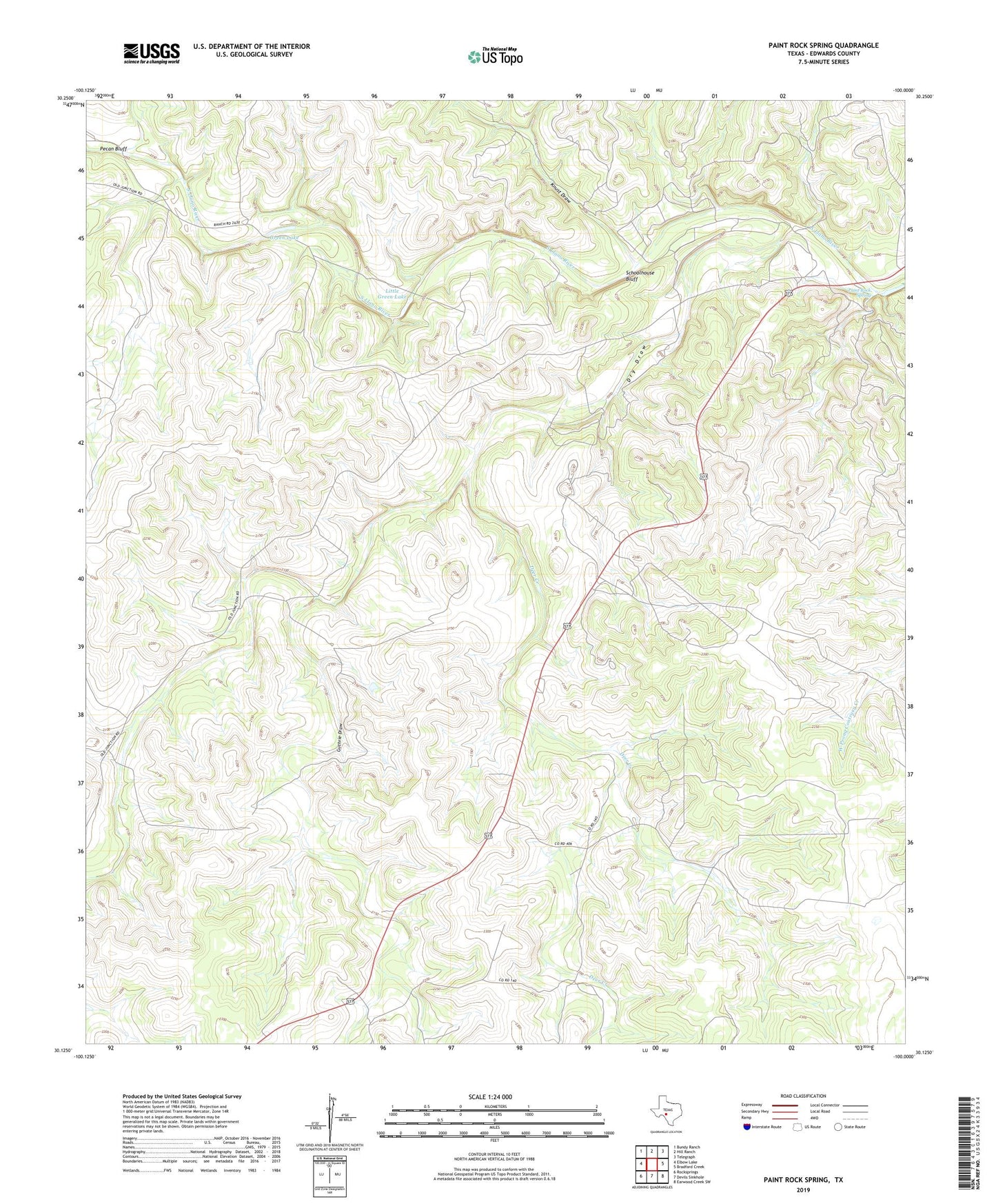
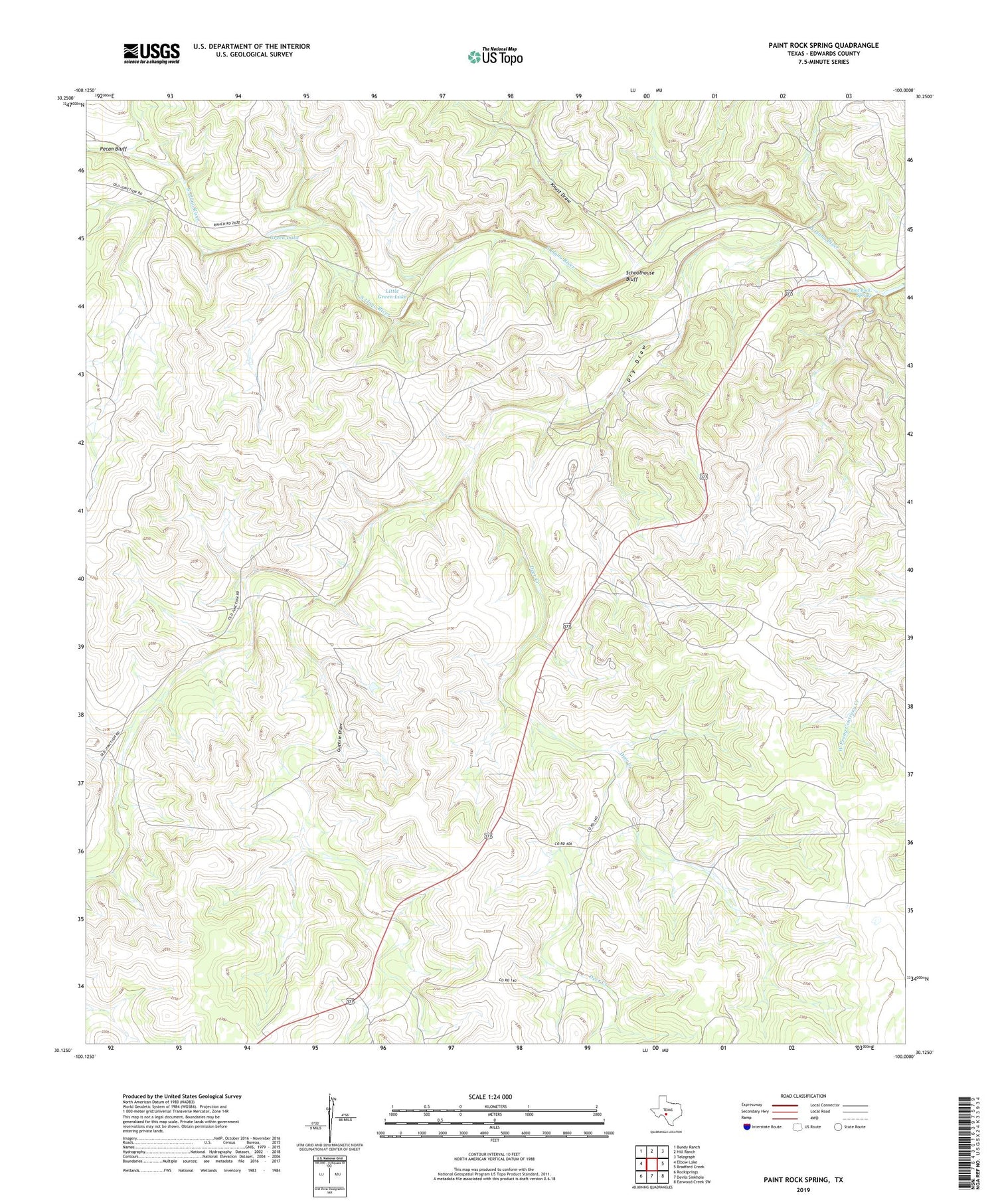
2019 topographic map quadrangle Paint Rock Spring in the state of Texas. Scale: 1:24000. Based on the newly updated USGS 7.5' US Topo map series, this map is in the following counties: Edwards. The map contains contour data, water features, and other items you are used to seeing on USGS maps, but also has updated roads and other features. This is the next generation of topographic maps. Printed on high-quality waterproof paper with UV fade-resistant inks.
Quads adjacent to this one:
West: Elbow Lake
Northwest: Bundy Ranch
North: Hill Ranch
Northeast: Telegraph
East: Bradford Creek
Southeast: Earwood Creek SW
South: Devils Sinkhole
Southwest: Rocksprings
Contains the following named places: Deer Creek, Dry Draw, Eighteenmile Well, Green Lake, Greer Ranch, Greer Ranch Cemetery, Guthrie Draw, Kast Ranch, Knust Draw, Little Green Lake, Paint Rock Spring, Pecan Bluff, Rocksprings North Division, Schoolhouse Bluff