MyTopo
Parnell Texas US Topo Map
Couldn't load pickup availability
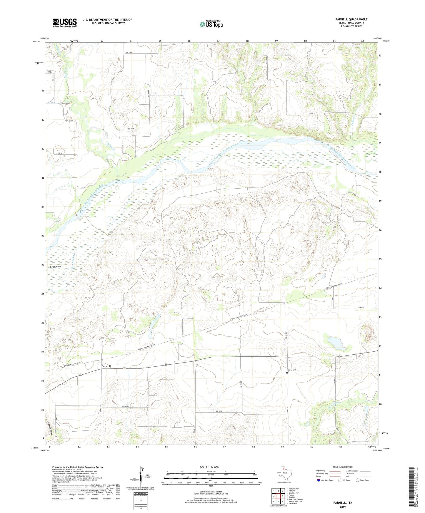
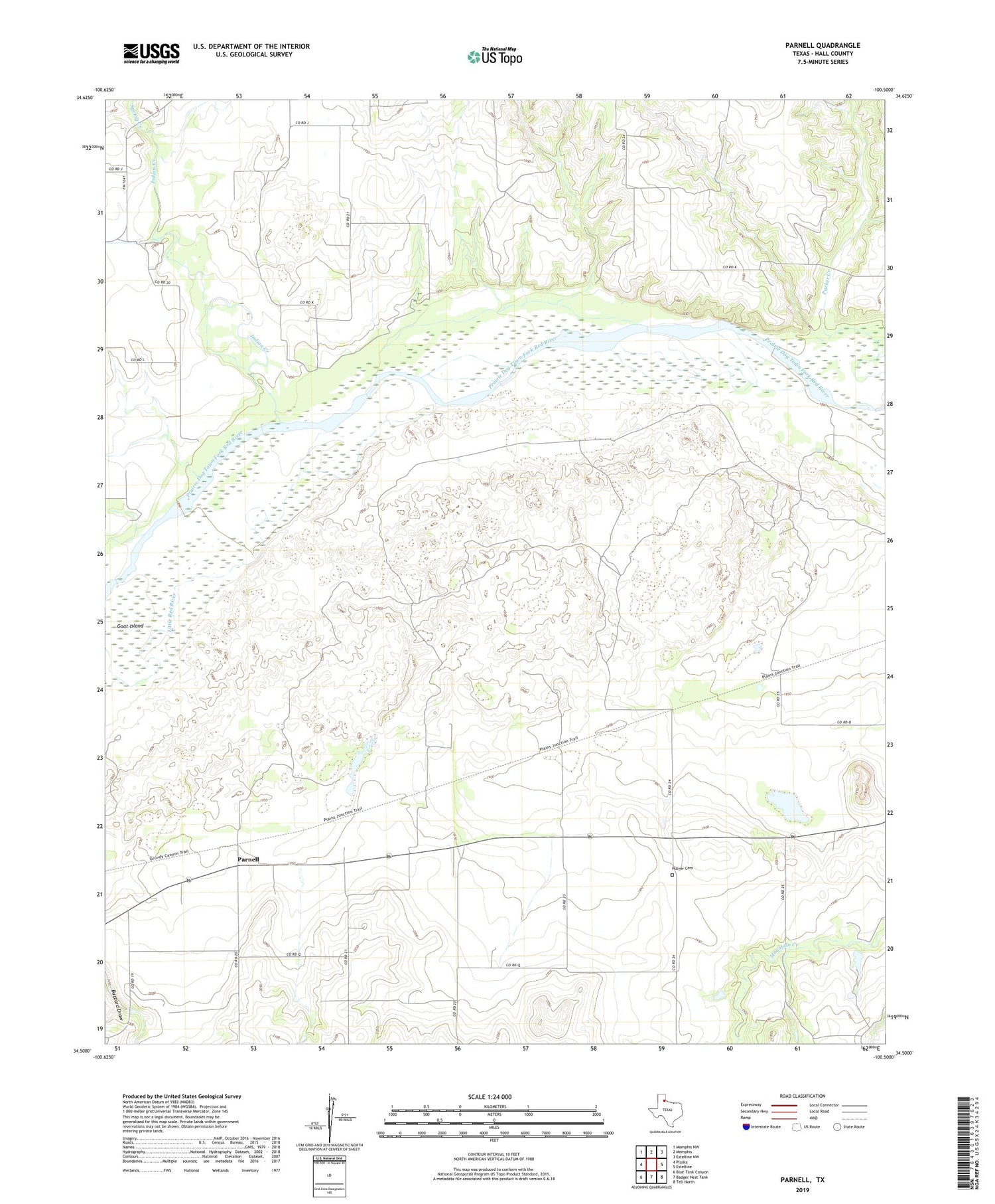
2019 topographic map quadrangle Parnell in the state of Texas. Scale: 1:24000. Based on the newly updated USGS 7.5' US Topo map series, this map is in the following counties: Hall. The map contains contour data, water features, and other items you are used to seeing on USGS maps, but also has updated roads and other features. This is the next generation of topographic maps. Printed on high-quality waterproof paper with UV fade-resistant inks.
Quads adjacent to this one:
West: Plaska
Northwest: Memphis NW
North: Memphis
Northeast: Estelline NW
East: Estelline
Southeast: Tell North
South: Badger Nest Tank
Southwest: Blue Tank Canyon
Contains the following named places: Goat Island, Hulver, Hulver Cemetery, Indian Creek, Little Red River, Parker Creek, Parnell, Spring Creek, ZIP Code: 79233