MyTopo
Persimmon Gap Texas US Topo Map
Couldn't load pickup availability
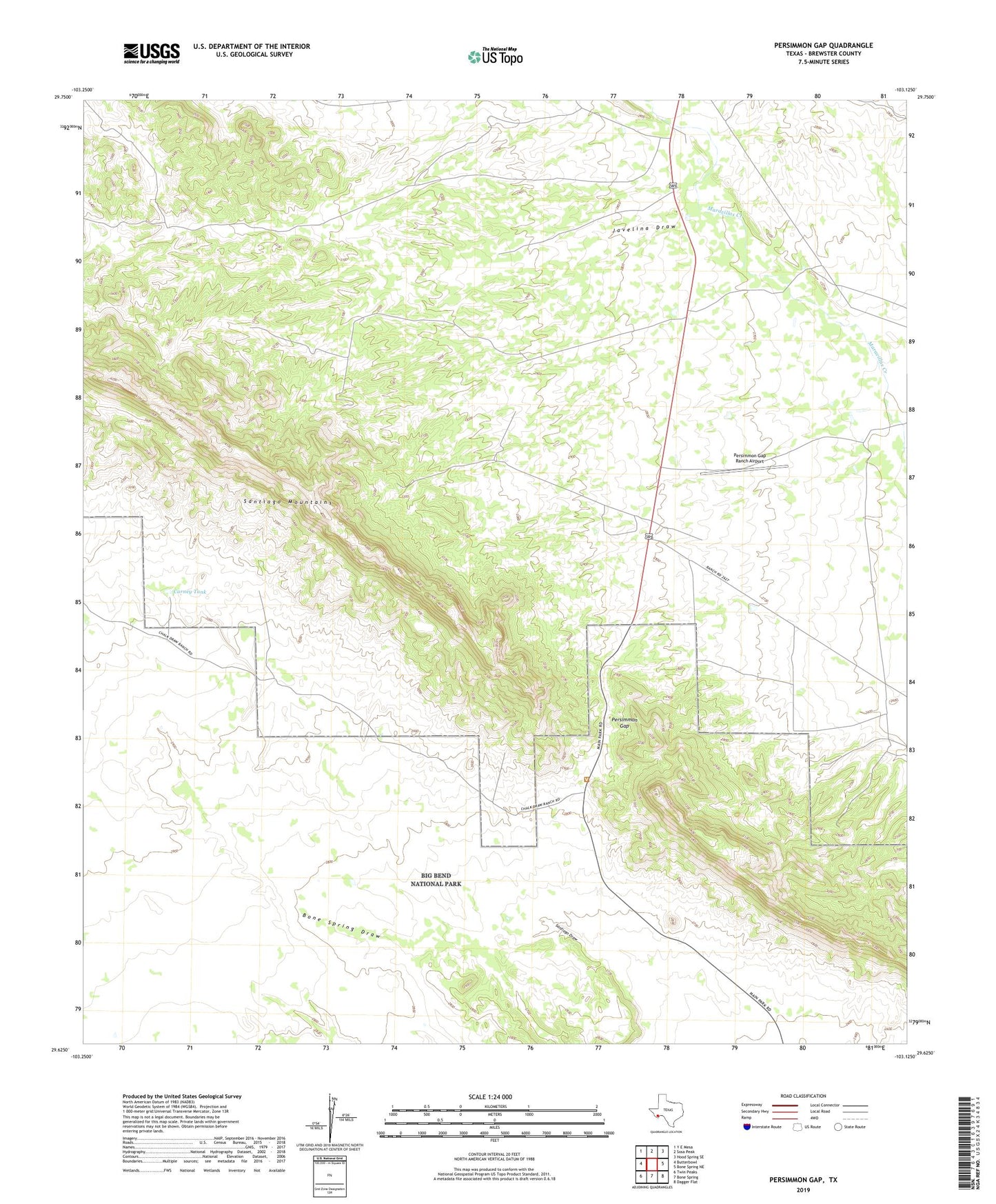
2019 topographic map quadrangle Persimmon Gap in the state of Texas. Scale: 1:24000. Based on the newly updated USGS 7.5' US Topo map series, this map is in the following counties: Brewster. The map contains contour data, water features, and other items you are used to seeing on USGS maps, but also has updated roads and other features. This is the next generation of topographic maps. Printed on high-quality waterproof paper with UV fade-resistant inks.
Quads adjacent to this one:
West: Butterbowl
Northwest: Y E Mesa
North: Sosa Peak
Northeast: Hood Spring SE
East: Bone Spring NE
Southeast: Dagger Flat
South: Bone Spring
Southwest: Twin Peaks
Contains the following named places: Carney Tank, Double Mills, Edwards Well, Green Windmill, Javelina Draw, Persimmon Gap, Persimmon Gap Ranch Airport, Persimmon Gap Ranger Station