MyTopo
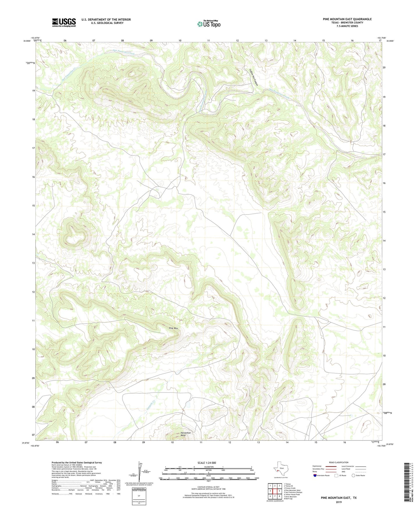
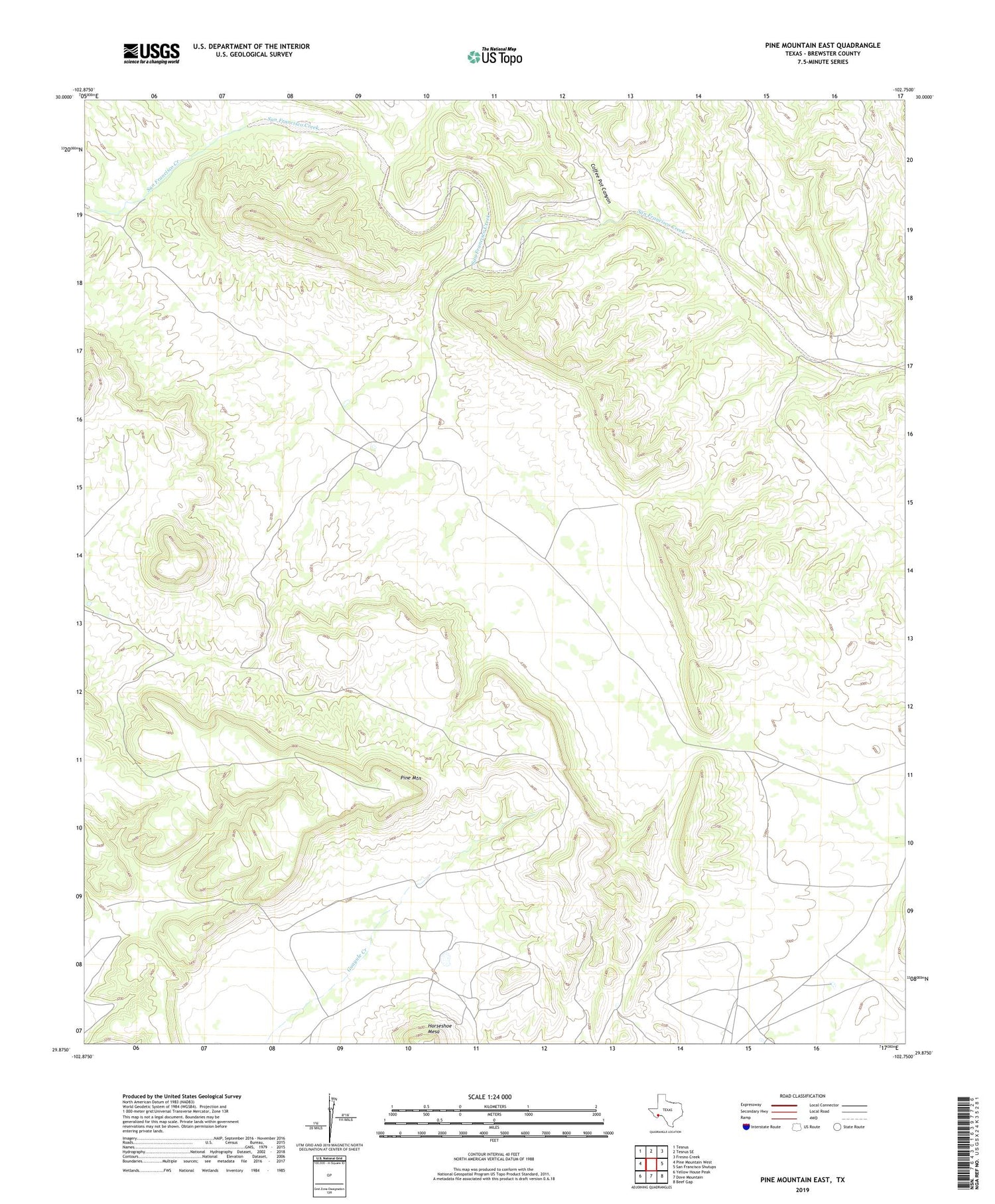
Pine Mountain East Texas US Topo Map
Couldn't load pickup availability
2019 topographic map quadrangle Pine Mountain East in the state of Texas. Scale: 1:24000. Based on the newly updated USGS 7.5' US Topo map series, this map is in the following counties: Brewster. The map contains contour data, water features, and other items you are used to seeing on USGS maps, but also has updated roads and other features. This is the next generation of topographic maps. Printed on high-quality waterproof paper with UV fade-resistant inks.
Quads adjacent to this one:
West: Pine Mountain West
Northwest: Tesnus
North: Tesnus SE
Northeast: Fresno Creek
East: San Francisco Shutups
Southeast: Beef Gap
South: Dove Mountain
Southwest: Yellow House Peak
Contains the following named places: Coffee Pot Canyon, Jones Ranch, Pine Mountain